- Elevation
- 26 m
- above sea level
- Local time
- UTC+09:00
- Asia/Tokyo · UTC+09:00
- Airports
- HND Tokyo Haneda International Airport34 km
- OIM Oshima Airport61 km
About Uraga
Uraga is a village. Location: Yokosuka, Kanagawa. Elevation: 26 m.
Uraga (浦賀) is a subdivision of the city of Yokosuka, Kanagawa Prefecture, Japan. It is located on the eastern side of the Miura Peninsula, at the northern end of the Uraga Channel, at the entrance of Tokyo Bay.
Source: Wikipedia · CC BY-SA 4.0
Climate of Uraga
Best months for sightseeingBest months for sightseeing: May–July, September–October.
This month · November
A wet month
Day 17° · Night 10° · Rain 124 mm
Better nearby cities in November
- Isehara · 40 km northwest18°
- Odawara · 50 km west19°
- Mishima · 74 km west18°
- Hottest month
- August (day 30°)
- Coldest month
- January (night 2°)
- Wettest month
- September (216 mm)
- Driest month
- December (60 mm)
Bars: average monthly low and high temperature. Below: precipitation. Monthly averages for 1970–2000 at about 18 km resolution, adjusted for elevation. Highlighted months are mild and relatively dry. Source: WorldClim 2.1 (CC BY 4.0).
Show values as a table
| Month | Jan | Feb | Mar | Apr | May | Jun | Jul | Aug | Sep | Oct | Nov | Dec |
|---|---|---|---|---|---|---|---|---|---|---|---|---|
| Average high (°C) | 11° | 10° | 13° | 18° | 22° | 24° | 28° | 30° | 26° | 21° | 17° | 13° |
| Average low (°C) | 2° | 2° | 5° | 10° | 14° | 18° | 22° | 23° | 20° | 15° | 10° | 5° |
| Precipitation (mm) | 66 | 85 | 143 | 151 | 158 | 215 | 151 | 156 | 216 | 206 | 124 | 60 |
Other places to visit in this season: May June July September October
How to get to Uraga
The nearest airport is Tokyo Haneda International Airport (HND), 34 km to the north as the crow flies. The nearest large city is Yokosuka, 5 km to the northwest.
Airports
- Tokyo Haneda International Airport (HND) Tokyo 34 kmnorth
- Oshima Airport (OIM) Izu Oshima 61 kmsouthwest
- Narita International Airport (NRT) Narita 84 kmnortheast
Nearby large cities
- Yokosuka Population: 409.5K 5 kmnorthwest
- Kamakura Population: 172.9K 16 kmnorthwest
- Yokohama Population: 3.8M 21 kmnorth
- Fujisawa Population: 439.7K 24 kmnorthwest
- Kisarazu Population: 136.2K 25 kmnortheast
Straight-line distances; road distances are longer. Airport data: OurAirports.
Nearby attractions & nature
Everything nearby-
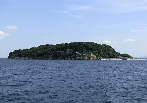 Sarushima Island, Kanagawa4.3 km N
-
 Miura Hantō Natural site, Kanagawa5.6 km W
-
Mount Ōyama Natural site, Yokosuka8.7 km NW
-
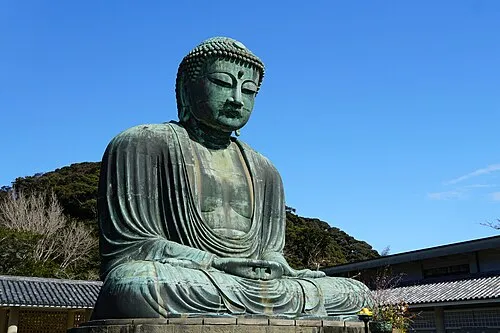 Kōtoku In Attraction, Kamakura17 km NW
-
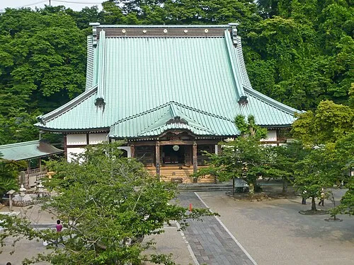 Kōmyō Ji Attraction, Kamakura15 km NW
-
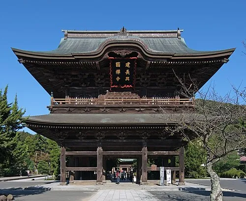 Kenchō Ji Attraction, Kamakura17 km NW
Sources & licences
Data last updated: · 2 independent sources