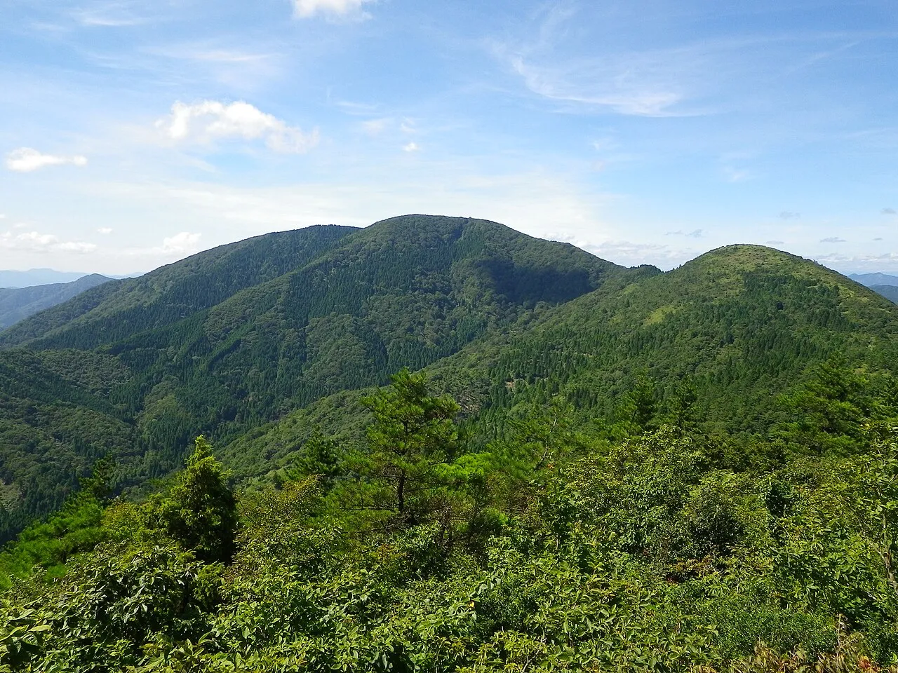
- Elevation
- 824 m
- above sea level
- Local time
- UTC+09:00
- Asia/Tokyo · UTC+09:00
- Airports
- TJH Konotori Tajima Airport30 km
- ITM Osaka Itami International Airport81 km
About Mount Ooe
Mount Ooe is a mountain. Location: Yosano Chō, Yosa-gun. Elevation: 824 m.
Located at the base of the Tango Peninsula in Kyoto Prefecture, Ōeyama (大江山) mountain range extends over Yosano-cho, Fukuchiyama and Miyazu. The highest peak, Senjogatake (千丈ヶ嶽) has an elevation of 832.5 meters. The range is also called Yosa-no-oyama (与謝大山) and is best known for the legend of Shuten-dōji. It is also known for the sea of clouds that is visible from points of high elevation.
Source: Wikipedia · CC BY-SA 4.0
Climate of Mount Ooe
Best months for sightseeingBest months for sightseeing: May–September.
This month · November
A wet month
Day 11° · Night 2° · Rain 126 mm
Better nearby cities in November
- Kochi · 256 km southwest18°
- Kofu · 314 km east17°
- Fujinomiya · 319 km east18°
- Hottest month
- August (day 27°)
- Coldest month
- February (night -5°)
- Wettest month
- September (222 mm)
- Driest month
- December (123 mm)
Bars: average monthly low and high temperature. Below: precipitation. Monthly averages for 1970–2000 at about 18 km resolution, adjusted for elevation. Highlighted months are mild and relatively dry. Source: WorldClim 2.1 (CC BY 4.0).
Show values as a table
| Month | Jan | Feb | Mar | Apr | May | Jun | Jul | Aug | Sep | Oct | Nov | Dec |
|---|---|---|---|---|---|---|---|---|---|---|---|---|
| Average high (°C) | 2° | 3° | 7° | 13° | 18° | 21° | 25° | 27° | 22° | 16° | 11° | 5° |
| Average low (°C) | -5° | -5° | -3° | 2° | 7° | 13° | 17° | 18° | 14° | 7° | 2° | -3° |
| Precipitation (mm) | 147 | 133 | 129 | 124 | 139 | 190 | 190 | 136 | 222 | 140 | 126 | 123 |
Other places to visit in this season: May June July August September
How to get to Mount Ooe
The nearest airport is Konotori Tajima Airport (TJH), 30 km to the west as the crow flies. For international flights: Osaka Itami International Airport (ITM) (81 km). The nearest large city is Sandachō, 64 km to the south.
Airports
- Konotori Tajima Airport (TJH) Toyooka 30 kmwest
- Osaka Itami International Airport (ITM) Osaka 81 kmsouth
- Tottori Sand Dunes Conan Airport (TTJ) Tottori 86 kmwest
Nearby large cities
- Sandachō Population: 132.9K 64 kmsouth
- Ikeda Population: 105K 76 kmsoutheast
- Kawanishi Population: 155.2K 76 kmsouth
- Takarazuka Population: 226.4K 76 kmsouth
- Minoh Population: 136.9K 77 kmsoutheast
Straight-line distances; road distances are longer. Airport data: OurAirports.
Day trips from Mount Ooe
Within 100 km: 26 historic and cultural sites, 21 natural sites, 20 lakes, rivers and coasts.
0–25 km2 places
- Yura River River 18 kmE
- Takano River River 20 kmE
25–60 km7 places
- Kamuri Jima Island 38 kmNE
- Maruyama River River 32 kmNW
- Kita-gawa River 58 kmE
- Ko-shima Island 41 kmNE
60–100 km58 places
- Mount Rokkō Mountain 76 kmS
- Lake Suigetsu Lake 72 kmE
- Sendai River River 83 kmW
- Mimi River River 77 kmE
Straight-line distances.
Nearest towns and villages
-
Yotsutsuji Town, Yosano Chō8.9 km N
-
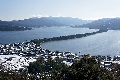 Miyazu City, Miyazu Shi12 km NE
-
 Fukuchiyama City, Fukuchiyama Shi17 km S
-
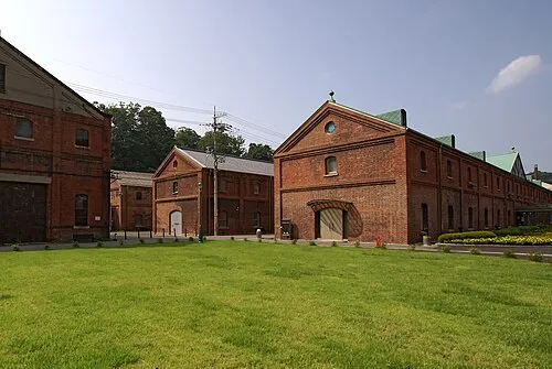 Maizuru City, Maizuru Shi21 km E
-
Kyōtango City, Kyōtango Shi18 km N
-
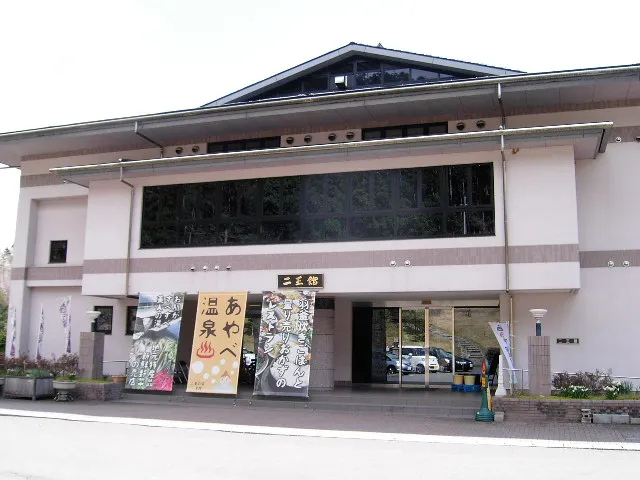 Ayabe City, Ayabe21 km SE
Nearby attractions & nature
Everything nearby-
Takano River River, Kyoto20 km E
-
Yura River River, Kyoto18 km E
Sources & licences
Data last updated: · 2 independent sources