- Population
- 17,380
- 17.4K
- Elevation
- 103 m
- above sea level
- Local time
- UTC+09:00
- Asia/Tokyo · UTC+09:00
- Places inside
- 1
- listed under Wakuya Chō
- Airports
- SDJ Sendai Airport51 km
- GAJ Yamagata Airport70 km
About Wakuya Chō
Wakuya Chō is a municipality. Location: Tōda Gun, Miyagi. Population: 17,380. Elevation: 103 m. The best months to visit are May–September. The nearest airport is Sendai Airport (51 km). Nearby sights include Zuigan Ji and Matsushima Guntō.
Climate of Wakuya Chō
Best months for sightseeingBest months for sightseeing: May–September.
This month · November
A cold month
Day 12° · Night 3° · Rain 68 mm
Better nearby cities in November
- Isehara · 388 km southwest18°
- Kofu · 395 km southwest17°
- Hottest month
- August (day 27°)
- Coldest month
- January (night -4°)
- Wettest month
- September (166 mm)
- Driest month
- January (47 mm)
Bars: average monthly low and high temperature. Below: precipitation. Monthly averages for 1970–2000 at about 18 km resolution, adjusted for elevation. Highlighted months are mild and relatively dry. Source: WorldClim 2.1 (CC BY 4.0).
Show values as a table
| Month | Jan | Feb | Mar | Apr | May | Jun | Jul | Aug | Sep | Oct | Nov | Dec |
|---|---|---|---|---|---|---|---|---|---|---|---|---|
| Average high (°C) | 3° | 4° | 7° | 13° | 18° | 21° | 25° | 27° | 23° | 18° | 12° | 6° |
| Average low (°C) | -4° | -4° | -1° | 4° | 10° | 14° | 18° | 20° | 16° | 9° | 3° | -2° |
| Precipitation (mm) | 47 | 53 | 68 | 94 | 96 | 127 | 153 | 133 | 166 | 116 | 68 | 52 |
Other places to visit in this season: May June July August September
How to get to Wakuya Chō
The nearest airport is Sendai Airport (SDJ), 51 km to the southwest as the crow flies. The nearest large city is Ōsaki, 16 km to the west.
Airports
- Sendai Airport (SDJ) Natori 51 kmsouthwest
- Yamagata Airport (GAJ) Higashine 70 kmwest
- Iwate Hanamaki Airport (HNA) Hanamaki 97 kmnorth
Nearby large cities
- Ōsaki Population: 128.8K 16 kmwest
- Ishinomaki Population: 140.2K 20 kmsoutheast
- Ichinoseki Population: 114.5K 40 kmnorth
- Sendai Population: 1.1M 41 kmsouthwest
- Ōshū Population: 112.9K 64 kmnorth
Straight-line distances; road distances are longer. Airport data: OurAirports.
Places in Wakuya Chō
1 place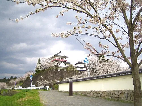
Wakuya
Population: 15.8K
Nearby attractions & nature
Everything nearby-
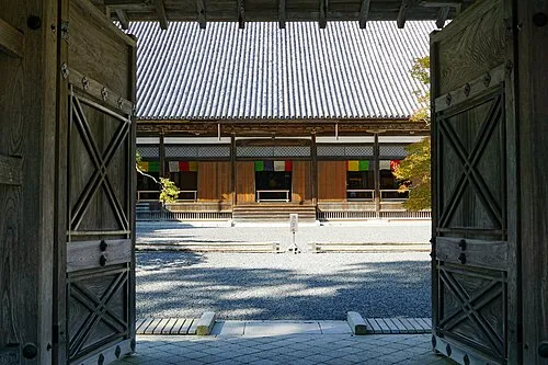 Zuigan Ji Attraction, Matsushima Machi22 km S
-
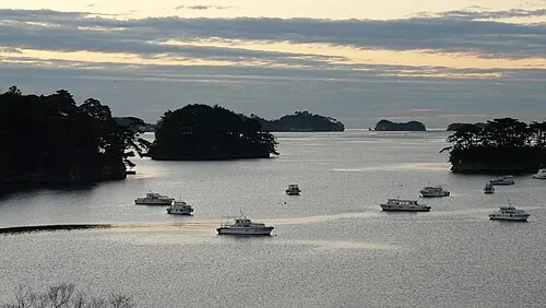 Matsushima Guntō Island, Miyagi24 km S
-
Naruse River River, Miyagi19 km S
-
Tsuki Shima Island, Miyagi21 km S
Sources & licences
Data last updated: