- Elevation
- 0 m
- above sea level
- Local time
- UTC+09:00
- Asia/Tokyo · UTC+09:00
- Airports
- AXT Akita Airport16 km
- ONJ Odate Noshiro Airport61 km
About Omono River
Omono River is a river. Location: Japan.
The Omono River (雄物川, Omono-gawa) is located in Akita Prefecture, Japan. The river flows from Mount Daisen on the border of Akita Prefecture with Miyagi and Yamagata Prefectures in the city of Yuzawa and drains into the Sea of Japan at the city of Akita. The river's drainage basin is essentially the entire southern half of Akita Prefecture. The river is free of dams for its entire length. It is regarded as a "first class river" in the Japanese river classification system.
Read more on Wikipedia Text: Wikipedia contributors · CC BY-SA 4.0 · shortened
At a glance
- Length
- 133 km
Source: Wikidata
Climate of Omono River
Best months for sightseeingBest months for sightseeing: May–June, September.
Bars: average monthly low and high temperature. Below: precipitation. Monthly averages for 1970–2000 at about 18 km resolution, adjusted for elevation. Highlighted months are mild and relatively dry. Source: WorldClim 2.1 (CC BY 4.0).
Show values as a table
| Month | Jan | Feb | Mar | Apr | May | Jun | Jul | Aug | Sep | Oct | Nov | Dec |
|---|---|---|---|---|---|---|---|---|---|---|---|---|
| Average high (°C) | 3° | 3° | 7° | 14° | 19° | 23° | 26° | 28° | 24° | 18° | 12° | 6° |
| Average low (°C) | -3° | -3° | 0° | 5° | 10° | 15° | 19° | 21° | 16° | 9° | 4° | 0° |
| Precipitation (mm) | 136 | 108 | 97 | 103 | 97 | 119 | 172 | 153 | 170 | 144 | 153 | 165 |
Airports nearest to Omono River
- Akita Airport (AXT) Akita 16 km
- Odate Noshiro Airport (ONJ) Kitaakita 61 km
- Iwate Hanamaki Airport (HNA) Hanamaki 96 km
Straight-line distance; airports with scheduled flights only. Source: OurAirports (public domain).
Nearest towns and villages
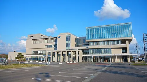
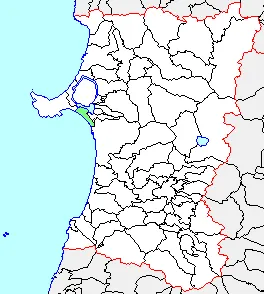
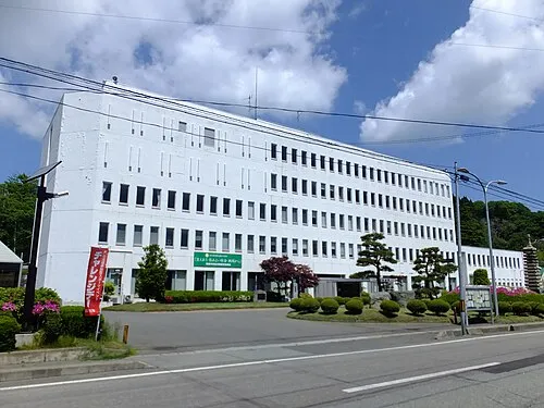
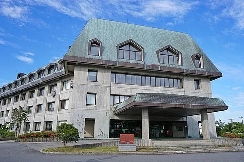
More lakes, rivers and coasts in Japan
-
 Hachirō Lagoon Lake, Akita26 km N
-
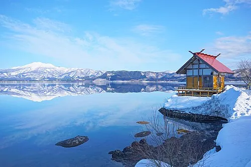 Lake Tazawa Lake, Akita52 km E
-
Tobi Shima Island, Yamagata71 km SW
-
Koyoshi River River, Akita34 km S
-
Yoneshiro River River, Akita59 km N
-
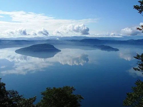 Lake Towada Lake, Japan111 km NE
Sources & licences
Data last updated: · 2 independent sources