Niji no Matsubara
Located in Saga Prefecture, Japan Coordinates: 33°26′37″ N 130°00′53″ E
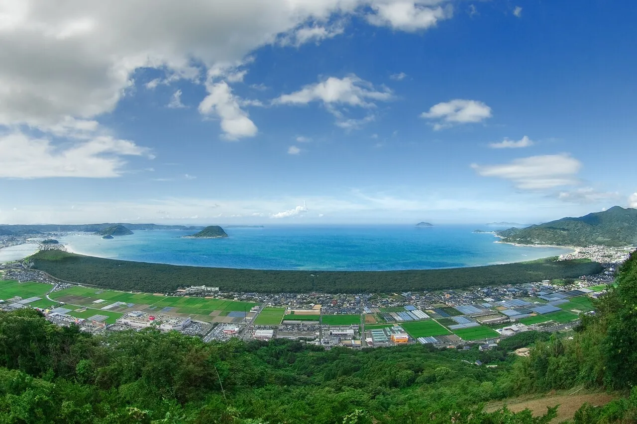
- Elevation
- 14 m
- above sea level
- Local time
- UTC+09:00
- Asia/Tokyo · UTC+09:00
- Airports
- IKI Iki Airport40 km
- HSG Kyushu Saga International Airport42 km
About Niji no Matsubara
Niji no Matsubara is a natural site. Location: Saga Prefecture, Japan.
The Nijinomatsubara (虹之松原) is a pine forest stretching along the sand dunes of Matsuragata, in the innermost part of Karatsu Bay, which faces the Genkai Sea in northern Kyushu. Located in the city of Karatsu, Saga Prefecture, it is considered one of Japan's three great pine groves, along with Miho no Matsubara and Amanohashidate, and is a nationally designated Special Place of Scenic Beauty. It stretches approximately five kilometers from east-to-west and is roughly 400 to 600 meters wide from north-to-south.
Source: Wikipedia · CC BY-SA 4.0
At a glance
- Heritage designation
- Place of Scenic Beauty, Special Place of Scenic Beauty
Source: Wikidata
Climate of Niji no Matsubara
Best months for sightseeingBest months for sightseeing: May–June, October.
This month · November
Outside the best season
Day 17° · Night 10° · Rain 85 mm
Better nearby cities in November
- Beppu · 139 km east17°
- Ōita · 149 km east18°
- Nobeoka · 181 km southeast18°
- Hottest month
- August (day 31°)
- Coldest month
- January (night 3°)
- Wettest month
- July (367 mm)
- Driest month
- December (69 mm)
Bars: average monthly low and high temperature. Below: precipitation. Monthly averages for 1970–2000 at about 18 km resolution, adjusted for elevation. Highlighted months are mild and relatively dry. Source: WorldClim 2.1 (CC BY 4.0).
Show values as a table
| Month | Jan | Feb | Mar | Apr | May | Jun | Jul | Aug | Sep | Oct | Nov | Dec |
|---|---|---|---|---|---|---|---|---|---|---|---|---|
| Average high (°C) | 9° | 10° | 13° | 19° | 23° | 26° | 29° | 31° | 27° | 22° | 17° | 12° |
| Average low (°C) | 3° | 3° | 6° | 11° | 15° | 20° | 24° | 25° | 21° | 15° | 10° | 5° |
| Precipitation (mm) | 79 | 91 | 134 | 175 | 187 | 349 | 367 | 210 | 234 | 107 | 85 | 69 |
How to get to Niji no Matsubara
The nearest airport is Iki Airport (IKI), 40 km to the northwest as the crow flies. For international flights: Kyushu Saga International Airport (HSG) (42 km). The nearest large city is Karatsu, 4 km to the west.
Airports
- Iki Airport (IKI) Iki 40 kmnorthwest
- Kyushu Saga International Airport (HSG) Saga 42 kmsoutheast
- Fukuoka Airport (FUK) Fukuoka 43 kmeast
Nearby large cities
- Karatsu Population: 117.7K 4 kmwest
- Saga Population: 233.3K 35 kmsoutheast
- Sasebo Population: 243.2K 41 kmsouthwest
- Kasuga Population: 111K 42 kmeast
- Ōnojō Population: 102.1K 44 kmeast
Straight-line distances; road distances are longer. Airport data: OurAirports.
Nearest towns and villages
-
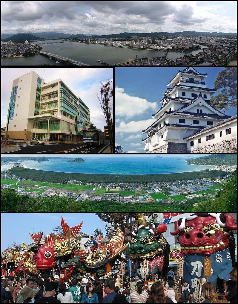 Karatsu City, Karatsu Shi4.2 km W
-
Genkai Chō Municipality, Higashimatsuura-gun14 km W
-
Ōchichō-ōchi Village, Karatsu Shi11 km S
-
Itoshima City, Itoshima-shi19 km NE
-
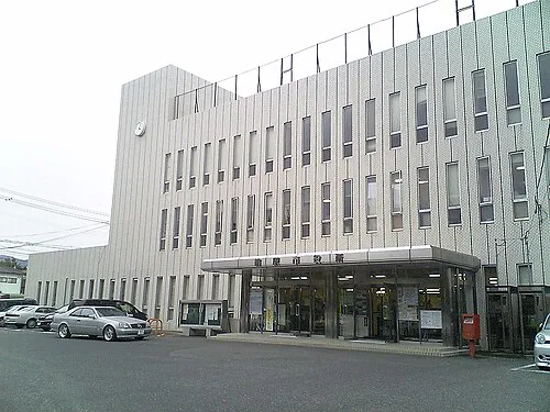 Maebaru-chūō Town, Itoshima-shi22 km NE
-
 Imarichō-kō Town, Imari Shi23 km SW
Nearby attractions & nature
Everything nearby-
 Karatsu Castle Historic site, Karatsu Shi3.5 km W
-
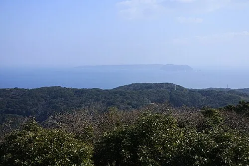 Kakara Shima Island, Karatsu Shi23 km NW
Sources & licences
Data last updated: · 2 independent sources