- Elevation
- 100 m
- above sea level
- Local time
- UTC+09:00
- Asia/Tokyo · UTC+09:00
- Airports
- IKI Iki Airport18 km
- FUK Fukuoka Airport55 km
About Kakara Shima
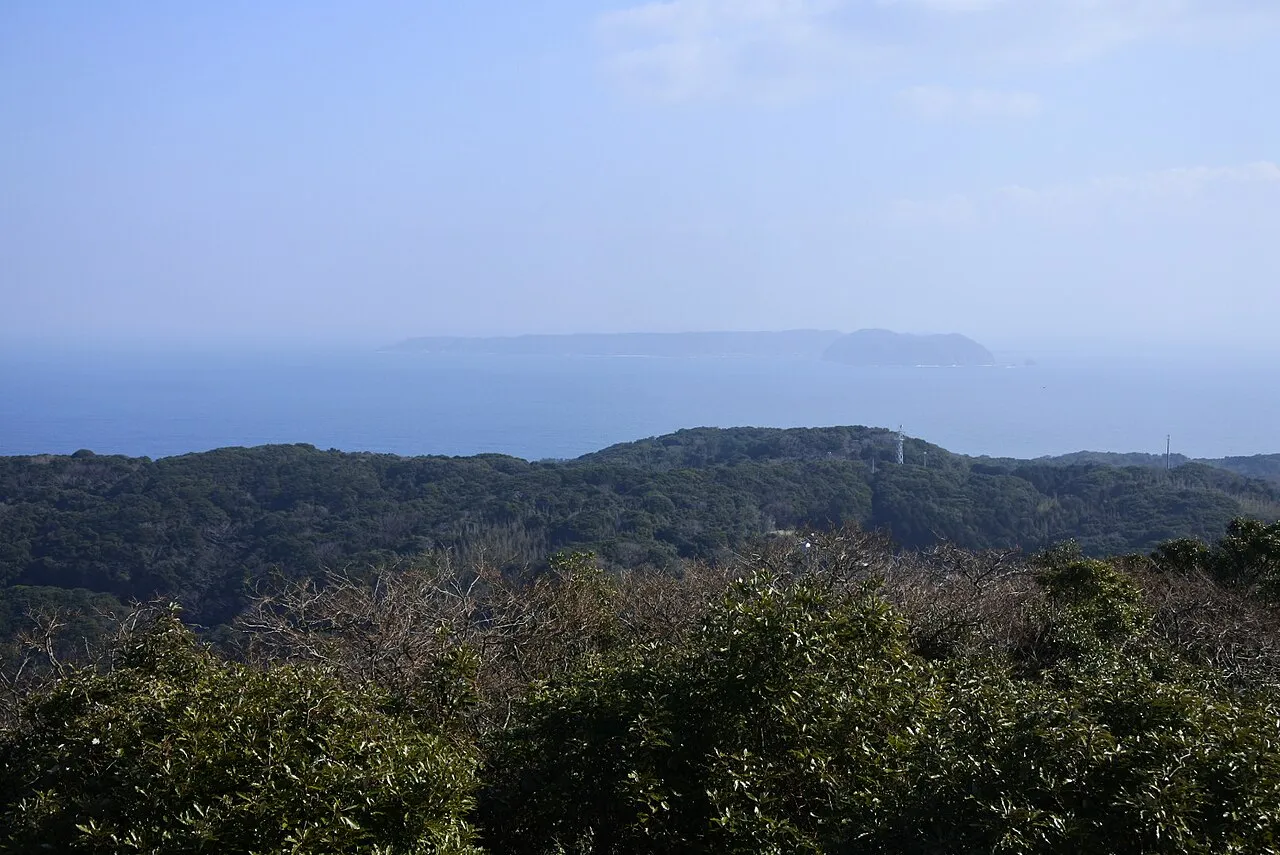
Kakara Shima is an island. Location: Karatsu Shi, Saga Prefecture.
Kakarajima or Kagarashima (加唐島), also known as Kakara, is an island to the north of Yobuko, which is in the Higashimatsuura District of Saga Prefecture, Japan. It is 2.82 kilometres (1.75 mi) long from north to south, and three quarters of a mile wide, with steep shores. In 1884, it was reported that a cable had been laid between Korea and Japan, with an intermediate station on Kagara Island. The island is a protected area for the vulnerable yellow bunting (Emberiza sulphurata).
Source: Wikipedia · CC BY-SA 4.0
Photos of Kakara Shima
-

さえぼー · CC BY-SA 4.0 -

さえぼー · CC BY-SA 4.0 -

Pusf.smbd · CC BY-SA 4.0 -

さえぼー · CC BY-SA 4.0 -

さえぼー · CC BY-SA 4.0


Climate of Kakara Shima
Best months for sightseeingBest months for sightseeing: May–June, September–October.
This month · November
Outside the best season
Day 17° · Night 10° · Rain 85 mm
Better nearby cities in November
- Beppu · 156 km east17°
- Ōita · 167 km east18°
- Nobeoka · 203 km southeast18°
- Hottest month
- August (day 29°)
- Coldest month
- January (night 3°)
- Wettest month
- June (291 mm)
- Driest month
- January (70 mm)
Bars: average monthly low and high temperature. Below: precipitation. Monthly averages for 1970–2000 at about 18 km resolution, adjusted for elevation. Highlighted months are mild and relatively dry. Source: WorldClim 2.1 (CC BY 4.0).
Show values as a table
| Month | Jan | Feb | Mar | Apr | May | Jun | Jul | Aug | Sep | Oct | Nov | Dec |
|---|---|---|---|---|---|---|---|---|---|---|---|---|
| Average high (°C) | 9° | 10° | 12° | 17° | 21° | 24° | 28° | 29° | 26° | 22° | 17° | 12° |
| Average low (°C) | 3° | 4° | 7° | 11° | 15° | 19° | 23° | 24° | 21° | 16° | 10° | 6° |
| Precipitation (mm) | 70 | 79 | 107 | 151 | 148 | 291 | 269 | 173 | 235 | 98 | 85 | 71 |
Other places to visit in this season: May June September October
How to get to Kakara Shima
The nearest airport is Iki Airport (IKI), 18 km to the north as the crow flies. For international flights: Fukuoka Airport (FUK) (55 km). The nearest large city is Karatsu, 20 km to the southeast.
Airports
- Iki Airport (IKI) Iki 18 kmnorth
- Fukuoka Airport (FUK) Fukuoka 55 kmeast
- Kyushu Saga International Airport (HSG) Saga 65 kmsoutheast
Nearby large cities
- Karatsu Population: 117.7K 20 kmsoutheast
- Sasebo Population: 243.2K 49 kmsouth
- Kasuga Population: 111K 57 kmeast
- Saga Population: 233.3K 58 kmsoutheast
- Ōnojō Population: 102.1K 58 kmeast
Straight-line distances; road distances are longer. Airport data: OurAirports.
Day trips from Kakara Shima
Within 100 km: 16 historic and cultural sites, 13 natural sites, 13 lakes, rivers and coasts.
0–25 km3 places
- Iki Island Island 24 kmNW
- Karatsu Castle Historic site 20 kmSE
- Niji no Matsubara Natural site 23 kmSE
25–60 km22 places
- Hario Jima Island 55 kmS
- Kitamatsuura Hantō Natural site 38 kmSW
- Shika Island Island 42 kmE
- Mt. Abura Mountain 48 kmE
60–100 km17 places
- Tsushima Island Island 95 kmNW
- Okino-shima Island 75 kmN
- Iō Jima Island 100 kmS
- Nishisonoki-hantō Natural site 77 kmS
Straight-line distances.
Nearest towns and villages
-
Chinzeimachi-nagoya Village, Karatsu Shi8.6 km S
-
Genkai Chō Municipality, Higashimatsuura-gun14 km S
-
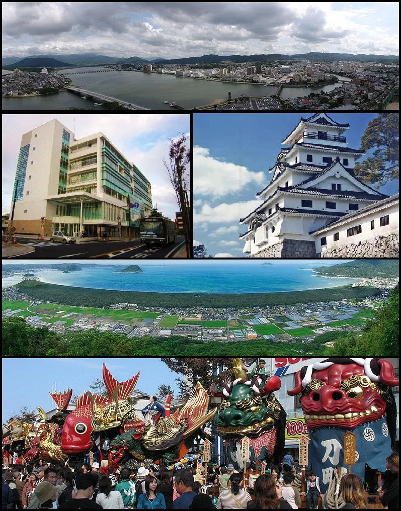 Karatsu City, Karatsu Shi20 km SE
-
Iki City, Iki Shi24 km NW
-
 Imarichō-kō Town, Imari Shi36 km S
-
Nishi Municipality, Fukuoka City38 km E
Nearby attractions & nature
Everything nearby-
 Iki Island Island, Nagasaki24 km NW
-
 Niji no Matsubara Natural site, Saga Prefecture23 km SE
-
 Karatsu Castle Historic site, Karatsu Shi20 km SE
Sources & licences
Data last updated: · 2 independent sources