- Population
- 20,850
- 20.8K
- Elevation
- 16 m
- above sea level
- Local time
- UTC+09:00
- Asia/Tokyo · UTC+09:00
- Airports
- HND Tokyo Haneda International Airport64 km
- IBR Ibaraki Airport75 km
About Kisai
Kisai is a town. Location: Kazo-shi, Saitama. Population: 20,850. Elevation: 16 m.
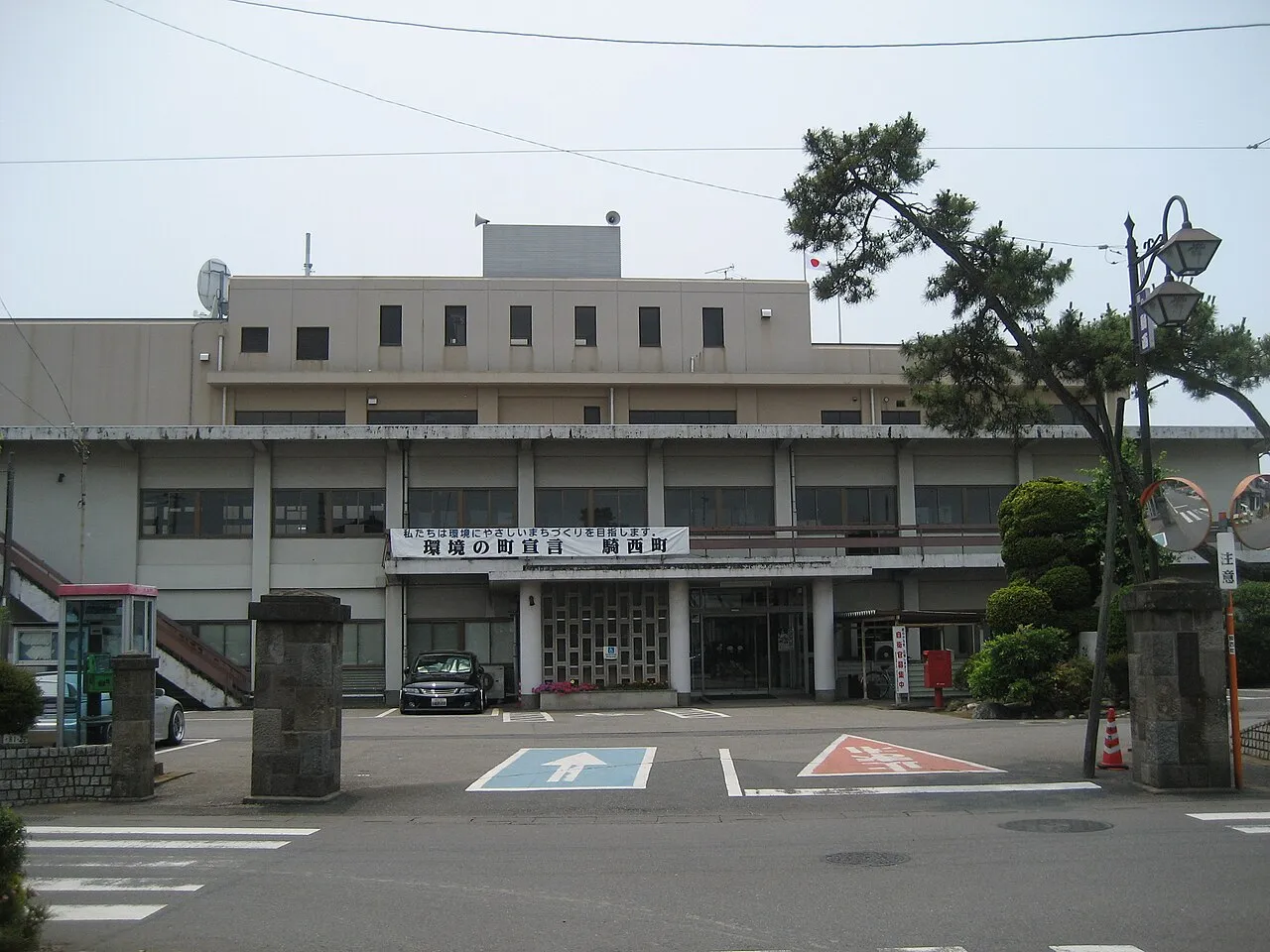
Kisai (騎西町, Kisai-machi) was a town located in Kitasaitama District, Saitama Prefecture, Japan. As of 2003, the town had an estimated population of 20,105 and a density of 702.97 persons per km2. The total area was 28.60 km2. On March 23, 2010, Kisai, along with the towns of Kitakawabe and Ōtone (all from Kitasaitama District), was merged into the expanded city of Kazo. Kitasaitama District was dissolved as a result of this merger.
Source: Wikipedia · CC BY-SA 4.0
At a glance
- Built
- 1889
- Area
- 28.6 km²
Source: Wikidata
Climate of Kisai
Best months for sightseeingBest months for sightseeing: May–June, October.
This month · November
Outside the best season
Day 16° · Night 6° · Rain 68 mm
Better nearby cities in November
- Isehara · 82 km south18°
- Odawara · 101 km south19°
- Kofu · 103 km southwest17°
- Hottest month
- August (day 30°)
- Coldest month
- January (night -2°)
- Wettest month
- September (191 mm)
- Driest month
- January (33 mm)
Bars: average monthly low and high temperature. Below: precipitation. Monthly averages for 1970–2000 at about 18 km resolution, adjusted for elevation. Highlighted months are mild and relatively dry. Source: WorldClim 2.1 (CC BY 4.0).
Show values as a table
| Month | Jan | Feb | Mar | Apr | May | Jun | Jul | Aug | Sep | Oct | Nov | Dec |
|---|---|---|---|---|---|---|---|---|---|---|---|---|
| Average high (°C) | 9° | 10° | 13° | 19° | 23° | 25° | 28° | 30° | 26° | 21° | 16° | 11° |
| Average low (°C) | -2° | -1° | 2° | 8° | 13° | 18° | 21° | 22° | 19° | 12° | 6° | 0° |
| Precipitation (mm) | 33 | 49 | 75 | 100 | 119 | 167 | 149 | 159 | 191 | 149 | 68 | 36 |
How to get to Kisai
The nearest airport is Tokyo Haneda International Airport (HND), 64 km to the south as the crow flies. The nearest large city is Kazo, 2 km to the northeast.
Airports
- Tokyo Haneda International Airport (HND) Tokyo 64 kmsouth
- Ibaraki Airport (IBR) Omitama 75 kmeast
- Narita International Airport (NRT) Narita 81 kmsoutheast
Nearby large cities
- Kazo Population: 112.8K 2 kmnortheast
- Kōnosu Population: 116.8K 7 kmsouthwest
- Kukichūō Population: 150.6K 9 kmsoutheast
- Ageo Population: 226.9K 15 kmsouth
- Koga Population: 139.3K 15 kmnortheast
Straight-line distances; road distances are longer. Airport data: OurAirports.
Nearby attractions & nature
Everything nearby-
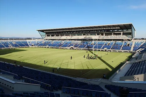 Kumagaya Rugby Ground Landmark, Kumagaya18 km NW
-
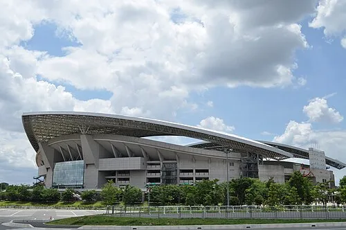 Saitama Stadium 2002 Landmark, Midori-ku25 km SE
-
Watarase River River, Ibaraki12 km NE
-
Saitama Super Arena Landmark, Chūō-ku23 km S
-
Iruma River River, Saitama21 km S
Sources & licences
Data last updated: · 2 independent sources