- Elevation
- 200 m
- above sea level
- Local time
- UTC+09:00
- Asia/Tokyo · UTC+09:00
- Population
- 1,952
- 2K
- Airports
- MYE Miyakejima Airport41 km
- OIM Oshima Airport66 km
About Kōzu Shima
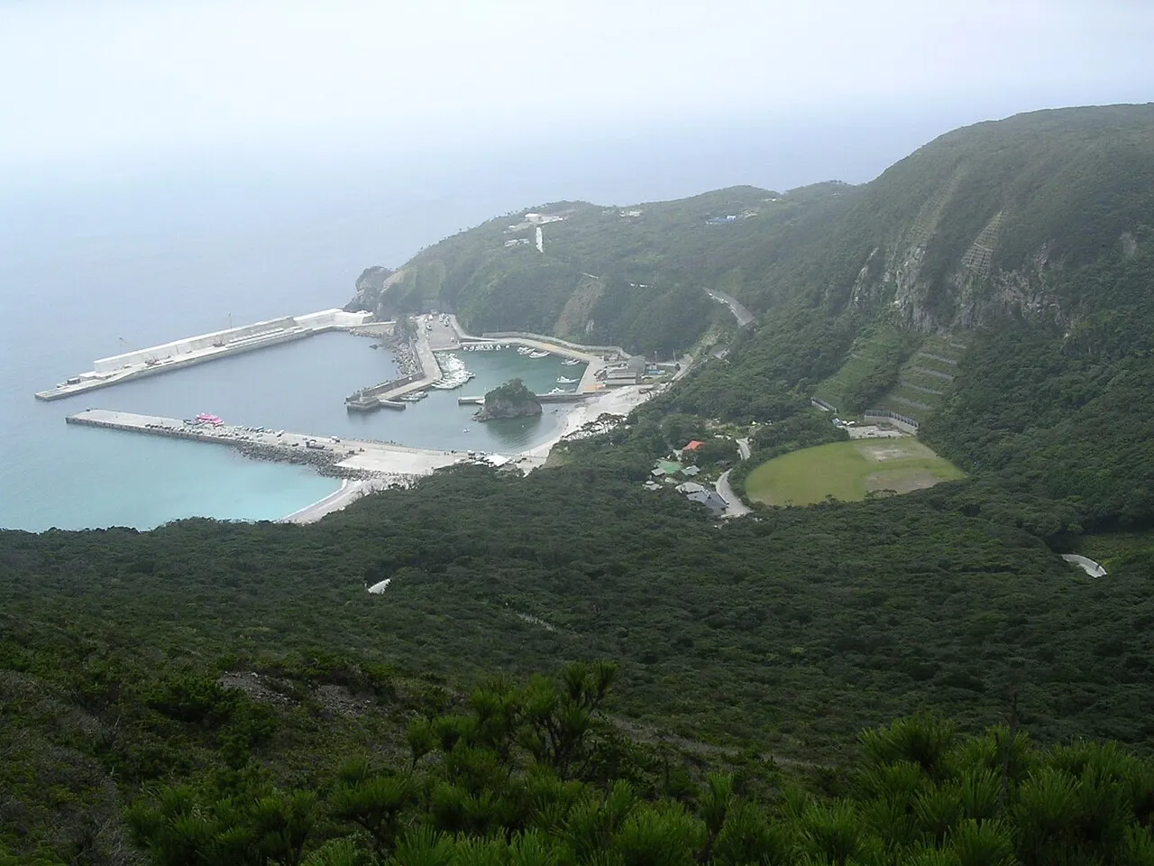
Kōzu Shima is an island. Location: Ōshima Shichō, Tokyo. Population: 1,952.
Kōzu-shima (神津島) is a volcanic Japanese island in the Philippine Sea. The island is administered by Tōkyō and is located approximately 30 kilometres (19 mi) northwest of the Miyake-jima and 14 kilometres (8.7 mi) southwest of the Nii-jima. It is one of the Izu Seven Islands, a group of the seven northern islands of the Izu archipelago. Kōzushima is administratively part of Kōzushima Village (founded 1923), under Ōshima Subprefecture of Tokyo Metropolis. As of 2017, the island's population was 1,952.
Source: Wikipedia · CC BY-SA 4.0
At a glance
- Area
- 18.2 km²
Source: Wikidata
Climate of Kōzu Shima
Best months for sightseeingBest months for sightseeing: May–July, September–October.
This month · November
A wet month
Day 19° · Night 13° · Rain 186 mm
Better nearby cities in November
- Numazu · 102 km north18°
- Mishima · 103 km north18°
- Fuji · 114 km north20°
- Hottest month
- August (day 28°)
- Coldest month
- February (night 6°)
- Wettest month
- June (306 mm)
- Driest month
- December (106 mm)
Bars: average monthly low and high temperature. Below: precipitation. Monthly averages for 1970–2000 at about 18 km resolution, adjusted for elevation. Highlighted months are mild and relatively dry. Source: WorldClim 2.1 (CC BY 4.0).
Show values as a table
| Month | Jan | Feb | Mar | Apr | May | Jun | Jul | Aug | Sep | Oct | Nov | Dec |
|---|---|---|---|---|---|---|---|---|---|---|---|---|
| Average high (°C) | 12° | 12° | 14° | 18° | 21° | 23° | 26° | 28° | 26° | 22° | 19° | 15° |
| Average low (°C) | 7° | 6° | 8° | 12° | 15° | 18° | 22° | 23° | 21° | 17° | 13° | 9° |
| Precipitation (mm) | 107 | 129 | 201 | 207 | 225 | 306 | 202 | 228 | 281 | 271 | 186 | 106 |
Other places to visit in this season: May June July September October
How to get to Kōzu Shima
The nearest airport is Miyakejima Airport (MYE), 41 km to the east as the crow flies. For international flights: Mount Fuji Shizuoka Airport (FSZ) (109 km). The nearest large city is Numazu, 102 km to the north.
Airports
- Miyakejima Airport (MYE) Miyakejima 41 kmeast
- Oshima Airport (OIM) Izu Oshima 66 kmnorth
- Mount Fuji Shizuoka Airport (FSZ) Makinohara / Shimada 109 kmnorthwest
Nearby large cities
- Numazu Population: 189.5K 102 kmnorth
- Mishima Population: 107.9K 103 kmnorth
- Yaizu Population: 139.6K 105 kmnorthwest
- Fujieda Population: 145K 109 kmnorthwest
- Shizuoka Population: 693.4K 111 kmnorthwest
Straight-line distances; road distances are longer. Airport data: OurAirports.
Nearest towns and villages
-
Kōzushima Village, Ōshima Shichō1.9 km SW
-
Toshima Mura Municipality, Ōshima Shichō36 km N
-
Miyake Mura Municipality, Miyake-shichō37 km E
-
Minamiizu Chō Municipality, Kamo58 km NW
-
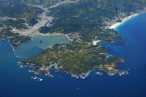 Shimoda City, Shimoda55 km N
-
 Kōchi Town, Shimoda57 km N
Nearby attractions & nature
Everything nearby-
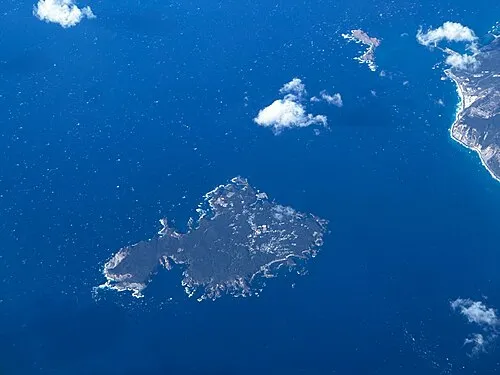 Shikine-jima Island, Japan14 km NE
-
 Jinai-jima Island, Japan19 km NE
-
 Nii-jima Island, Ōshima Shichō21 km NE
Sources & licences
Data last updated: · 2 independent sources