
- Elevation
- 23 m
- above sea level
- Local time
- UTC+09:00
- Asia/Tokyo · UTC+09:00
- Airports
- MYE Miyakejima Airport45 km
- OIM Oshima Airport47 km
About Jinai-jima
Jinai-jima is an island. Location: Japan.
Jinai-tō (地内島, Jinaijima) is a volcanic, deserted island located in the Philippine Sea approximately 220 kilometres (140 mi) south of Tokyo and offshore Niijima, in the northern portion of the Izu archipelago, Japan.
Read more on Wikipedia Text: Wikipedia contributors · CC BY-SA 4.0 · shortened
Climate of Jinai-jima
Best months for sightseeingBest months for sightseeing: May–June, September–November.
Bars: average monthly low and high temperature. Below: precipitation. Monthly averages for 1970–2000 at about 18 km resolution, adjusted for elevation. Highlighted months are mild and relatively dry. Source: WorldClim 2.1 (CC BY 4.0).
Show values as a table
| Month | Jan | Feb | Mar | Apr | May | Jun | Jul | Aug | Sep | Oct | Nov | Dec |
|---|---|---|---|---|---|---|---|---|---|---|---|---|
| Average high (°C) | 13° | 13° | 15° | 18° | 21° | 24° | 27° | 29° | 27° | 23° | 19° | 16° |
| Average low (°C) | 8° | 7° | 9° | 12° | 16° | 19° | 22° | 24° | 22° | 18° | 14° | 10° |
| Precipitation (mm) | 103 | 125 | 196 | 200 | 214 | 292 | 195 | 218 | 270 | 258 | 179 | 100 |
Other places to visit in this season: May June September October November
Airports nearest to Jinai-jima
- Miyakejima Airport (MYE) Miyakejima 45 km
- Oshima Airport (OIM) Izu Oshima 47 km
- Mount Fuji Shizuoka Airport (FSZ) Makinohara / Shimada 106 km
Straight-line distance; airports with scheduled flights only. Source: OurAirports (public domain).
Nearest towns and villages
-
Toshima Mura Municipality, Ōshima Shichō17 km N
-
Kōzushima Village, Ōshima Shichō21 km SW
-
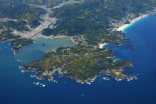 Shimoda City, Shimoda43 km NW
-
Ōshima-machi Municipality, Ōshima Shichō44 km N
-
Minamiizu Chō Municipality, Kamo49 km NW
-
Miyake Mura Municipality, Miyake-shichō42 km SE
Nearby attractions & nature
Everything nearby-
 Nii-jima Island, Ōshima Shichō3.4 km E
-
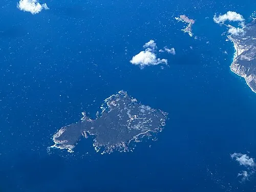 Shikine-jima Island, Japan5.2 km S
-
 Udone Island Island, Tokyo13 km NE
-
 To Shima Island, Tokyo17 km N
-
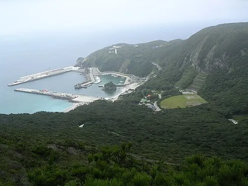 Kōzu Shima Island, Ōshima Shichō19 km SW
More lakes, rivers and coasts in Japan
-
Izu Islands Island, Tokyo41 km E
-
 Ō Shima Island, Ōshima-machi43 km N
-
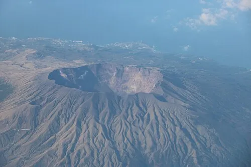 Miyake Jima Island, Miyake-shichō42 km SE
-
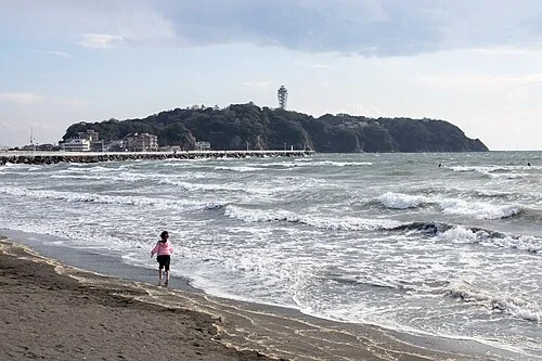 Enoshima Island, Kanagawa106 km N
-
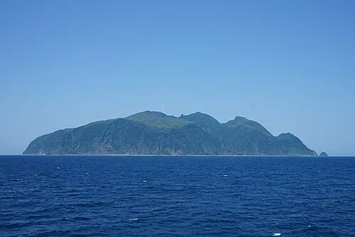 Mikura-jima Island, Mikurajima Mura65 km SE
-
 Ōnohara Jima Island, Tokyo39 km S
Sources & licences
Data last updated: · 2 independent sources