
- Local time
- UTC+09:00
- Asia/Tokyo · UTC+09:00
- Airports
- MYE Miyakejima Airport17 km
- OIM Oshima Airport82 km
About Ōnohara Jima
Ōnohara Jima is an island. Location: Tokyo, Japan.
The Ōnohara Islands (大野原島, Ōnohara-jima) are a group of volcanic deserted islands located in the Philippine Sea approximately 180 kilometres (110 mi) south of Tokyo and 10 kilometres (6.2 mi) west of Miyake-jima, in the northern portion of the Izu archipelago, Japan. The group is also known as Sanbon-dake (三本岳, lit. “Three Peaks”) from its profile.
Read more on Wikipedia Text: Wikipedia contributors · CC BY-SA 4.0 · shortened
At a glance
- Area
- 20 ha
Source: Wikidata
Climate of Ōnohara Jima
Best months for sightseeingBest months for sightseeing: May–June, September–October.
Bars: average monthly low and high temperature. Below: precipitation. Monthly averages for 1970–2000 at about 18 km resolution, adjusted for elevation. Highlighted months are mild and relatively dry. Source: WorldClim 2.1 (CC BY 4.0).
Show values as a table
| Month | Jan | Feb | Mar | Apr | May | Jun | Jul | Aug | Sep | Oct | Nov | Dec |
|---|---|---|---|---|---|---|---|---|---|---|---|---|
| Average high (°C) | 12° | 12° | 15° | 19° | 22° | 24° | 27° | 29° | 27° | 23° | 19° | 15° |
| Average low (°C) | 5° | 5° | 7° | 11° | 15° | 19° | 22° | 23° | 21° | 16° | 12° | 8° |
| Precipitation (mm) | 131 | 157 | 229 | 224 | 244 | 321 | 199 | 230 | 309 | 321 | 227 | 130 |
Other places to visit in this season: May June September October
Airports nearest to Ōnohara Jima
- Miyakejima Airport (MYE) Miyakejima 17 km
- Oshima Airport (OIM) Izu Oshima 82 km
- Hachijojima Airport (HAC) Hachijojima 110 km
Straight-line distance; airports with scheduled flights only. Source: OurAirports (public domain).
Nearest towns and villages
-
Miyake Mura Municipality, Miyake-shichō13 km E
-
Kōzushima Village, Ōshima Shichō29 km NW
-
Mikurajima Mura Municipality, Miyake-shichō28 km SE
-
Toshima Mura Municipality, Ōshima Shichō54 km N
More lakes, rivers and coasts in Japan
-
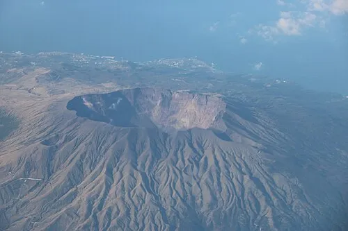 Miyake Jima Island, Miyake-shichō14 km E
-
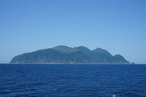 Mikura-jima Island, Mikurajima Mura28 km SE
-
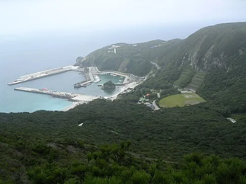 Kōzu Shima Island, Ōshima Shichō28 km NW
-
 Nii-jima Island, Ōshima Shichō38 km N
-
Izu Islands Island, Tokyo41 km NE
-
 Ō Shima Island, Ōshima-machi77 km N
Sources & licences
Data last updated: · 2 independent sources