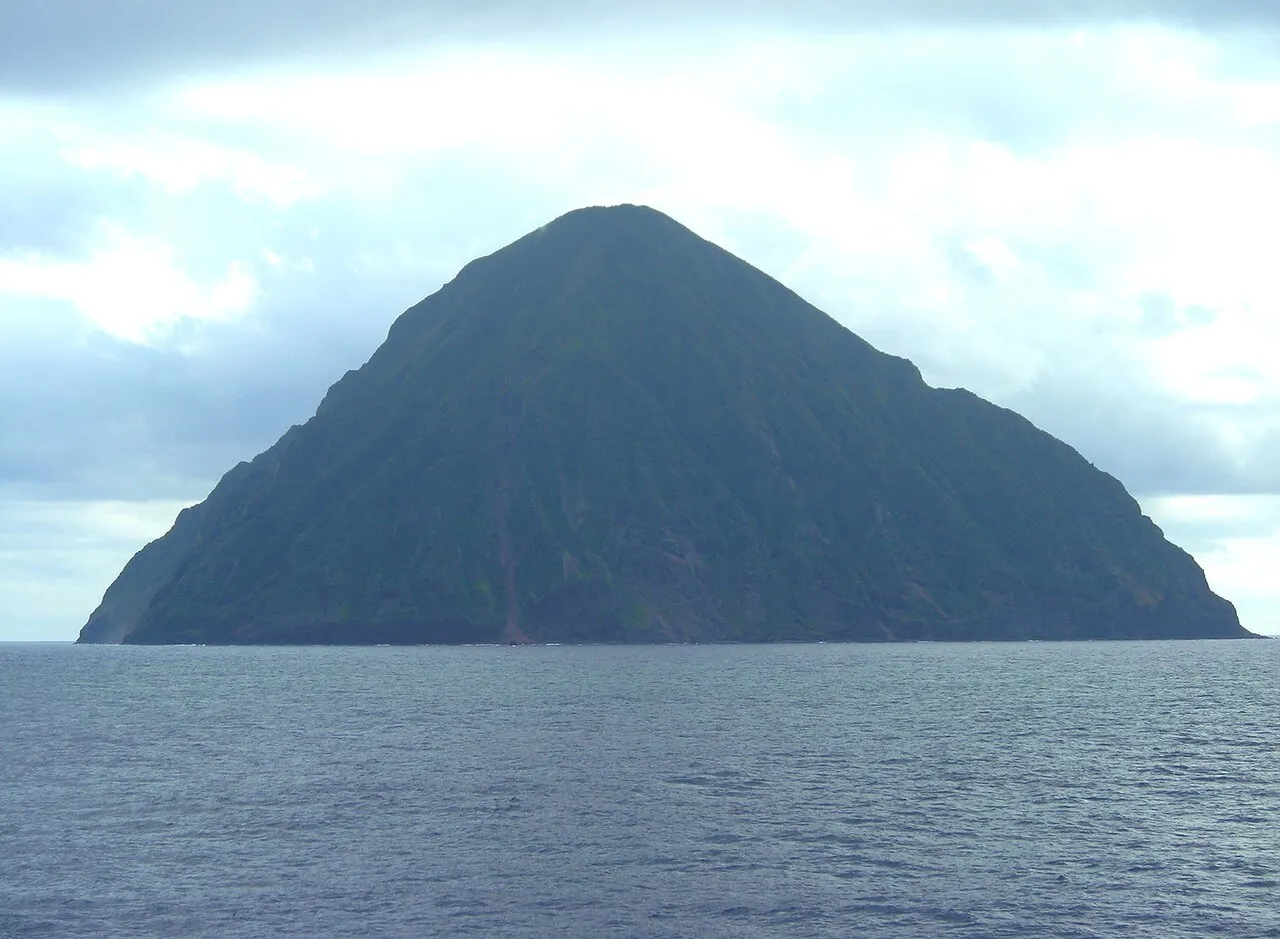
- Elevation
- 347 m
- above sea level
- Local time
- UTC+09:00
- Asia/Tokyo · UTC+09:00
About San-Augustine
San-Augustine is an island. Location: Tokyo, Japan.
South Iwo Jima (南硫黄島, Minami-Iōtō; "South Sulfur Island"), officially Minami Iōtō or South Iōtō (written with the same characters) since 18 June 2007 and also formerly known as Santo Agustino, is a 3.4 km2 (1.3 sq mi) uninhabited island in the North Pacific. Located 60 kilometers (37 mi) south of Iwo Jima, it is the southernmost of the Volcano Islands, part of the Nanpo Archipelago. Farallon de Pajaros is the next island to its south, 541 kilometers (336 mi) away in the Northern Mariana Islands.
Read more on Wikipedia Text: Wikipedia contributors · CC BY-SA 4.0 · shortened
At a glance
- Heritage designation
- part of UNESCO World Heritage Site
- Length
- 2.1 km
- Area
- 3.5 km²
Source: Wikidata
Climate of San-Augustine
Best months for sightseeingBest months for sightseeing: November–June.
Bars: average monthly low and high temperature. Below: precipitation. Monthly averages for 1970–2000 at about 18 km resolution, adjusted for elevation. Highlighted months are mild and relatively dry. Source: WorldClim 2.1 (CC BY 4.0).
Show values as a table
| Month | Jan | Feb | Mar | Apr | May | Jun | Jul | Aug | Sep | Oct | Nov | Dec |
|---|---|---|---|---|---|---|---|---|---|---|---|---|
| Average high (°C) | 20° | 19° | 21° | 23° | 24° | 27° | 28° | 28° | 28° | 26° | 24° | 22° |
| Average low (°C) | 17° | 17° | 18° | 20° | 21° | 24° | 24° | 24° | 24° | 24° | 22° | 19° |
| Precipitation (mm) | 96 | 76 | 58 | 92 | 112 | 85 | 166 | 175 | 135 | 169 | 131 | 128 |
Other places to visit in this season: January February March April May June November December
More lakes, rivers and coasts in Japan
-
 Iwo Jima Island, Tokyo63 km N
-
 Volcano Islands Island, Tokyo97 km NW
-
 San Alexander Island, Tokyo134 km N
Sources & licences
Data last updated: · 2 independent sources