Kōshū Shi
Local name: 甲州市
Located in Yamanashi, Japan Coordinates: 35°43′35″ N 138°47′30″ E
- Population
- 34,182
- 34.2K
- Elevation
- 846 m
- above sea level
- Local time
- UTC+09:00
- Asia/Tokyo · UTC+09:00
- Places inside
- 3
- listed under Kōshū Shi
- Airports
- HND Tokyo Haneda International Airport92 km
- MMJ Shinshu-Matsumoto Airport92 km
About Kōshū Shi
Kōshū Shi is a district. Location: Yamanashi, Japan. Population: 34,182.
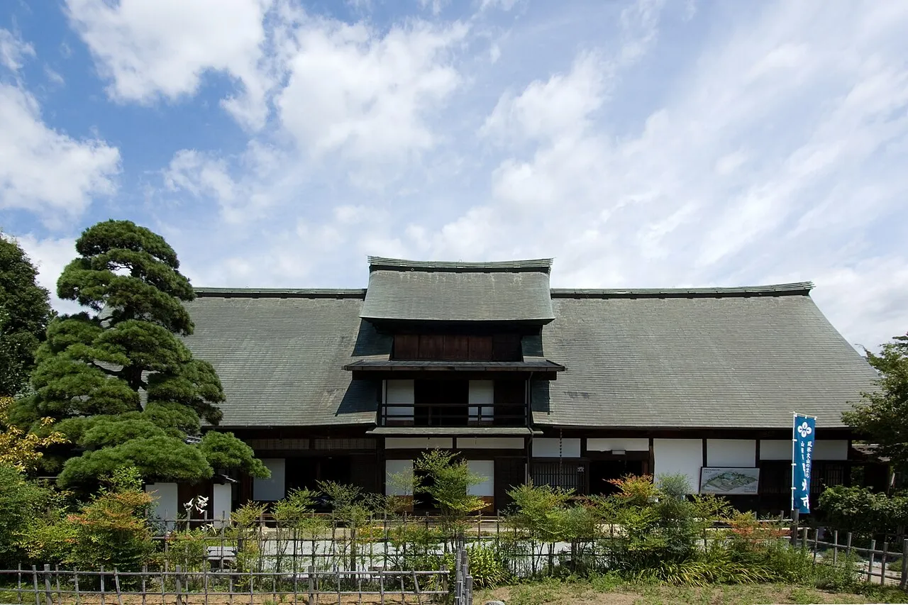
Kōshū (甲州市, Kōshū-shi; Japanese pronunciation: [kó̞ò̞.ɕɨ̀ɨ̀, kò̞ó̞.ɕɨ́ɨ̀.ɕì, kó̞ó̞.ɕɨ́ɨ̀-]) is a city located in Yamanashi Prefecture, Japan. As of 1 September 2020, the city had an estimated population of 29,659 in 13,141 households, and a population density of 120 persons per km². The total area of the city is 264.11 square kilometres (101.97 sq mi). The city is the home of the indigenous Koshu grape and is synonymous with viticulture and wine production in Japan.
Source: Wikipedia · CC BY-SA 4.0
Places bordering Kōshū Shi
- Ōtsuki
- Yamanashi Shi
- Fuefuki Shi
- Kosuge Village
- Tabayama Village
- Chichibu
Population of Kōshū Shi over time
| 2010 | 33,927 | |
|---|---|---|
| 2015 | 31,671 | |
| 2021 | 29,017 |
Censuses and official estimates; source: Wikidata.
Climate of Kōshū Shi
Best months for sightseeingBest months for sightseeing: May–July, September.
This month · November
Outside the best season
Day 13° · Night 2° · Rain 67 mm
Better nearby cities in November
- Kofu · 21 km west17°
- Fujinomiya · 59 km south18°
- Isehara · 59 km southeast18°
- Hottest month
- August (day 27°)
- Coldest month
- January (night -6°)
- Wettest month
- August (228 mm)
- Driest month
- December (30 mm)
Bars: average monthly low and high temperature. Below: precipitation. Monthly averages for 1970–2000 at about 18 km resolution, adjusted for elevation. Highlighted months are mild and relatively dry. Source: WorldClim 2.1 (CC BY 4.0).
Show values as a table
| Month | Jan | Feb | Mar | Apr | May | Jun | Jul | Aug | Sep | Oct | Nov | Dec |
|---|---|---|---|---|---|---|---|---|---|---|---|---|
| Average high (°C) | 6° | 6° | 9° | 15° | 20° | 22° | 26° | 27° | 23° | 18° | 13° | 9° |
| Average low (°C) | -6° | -5° | -2° | 4° | 9° | 13° | 17° | 18° | 15° | 8° | 2° | -3° |
| Precipitation (mm) | 35 | 50 | 85 | 109 | 126 | 194 | 174 | 228 | 221 | 142 | 67 | 30 |
Other places to visit in this season: May June July September
How to get to Kōshū Shi
The nearest airport is Tokyo Haneda International Airport (HND), 92 km to the east as the crow flies. The nearest large city is Kofu, 21 km to the west.
Airports
- Tokyo Haneda International Airport (HND) Tokyo 92 kmeast
- Shinshu-Matsumoto Airport (MMJ) Matsumoto 92 kmnorthwest
- Oshima Airport (OIM) Izu Oshima 117 kmsoutheast
Nearby large cities
- Kofu Population: 189.6K 21 kmwest
- Ōme Population: 133.5K 41 kmeast
- Hachiōji Population: 579.4K 49 kmeast
- Iruma Population: 147.2K 53 kmeast
- Akishima Population: 113.9K 53 kmeast
Straight-line distances; road distances are longer. Airport data: OurAirports.
Places in Kōshū Shi
3 placesBar: population relative to the most populous place in this list.
Mountains & nature1
- Chichibu Tama Kai National Park · Natural site
Nearby attractions & nature
Everything nearby-
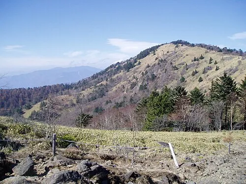 Mount Daibosatsu Mountain, Tabayama Village5.9 km NE
-
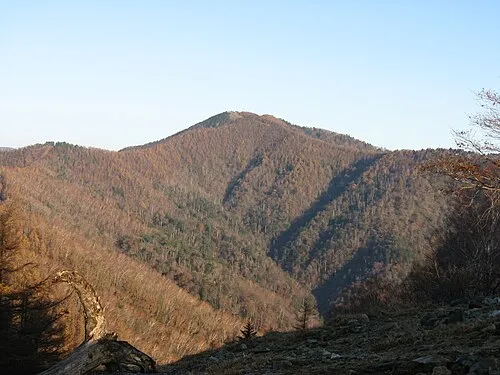 Kumotori-yama Mountain, Okutama-machi20 km NE
-
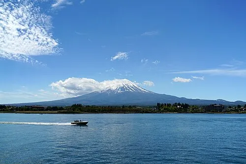 Lake Kawaguchi Lake, Japan24 km S
-
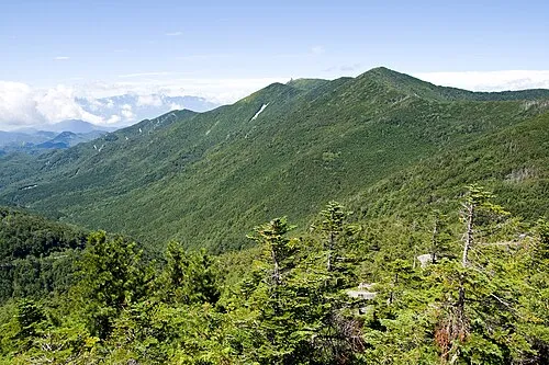 Kimpō-zan Mountain, Hokuto Shi22 km NW
-
 Okutama-ko Lake, Tokyo23 km E
Sources & licences
Data last updated: · 2 independent sources