- Population
- 25,590
- 25.6K
- Elevation
- 754 m
- above sea level
- Local time
- UTC+09:00
- Asia/Tokyo · UTC+09:00
- Places inside
- 1
- listed under Uenohara-shi
- Airports
- HND Tokyo Haneda International Airport68 km
- OIM Oshima Airport100 km
About Uenohara-shi
Uenohara-shi is a district. Location: Yamanashi, Japan. Population: 25,590.
Uenohara (上野原市, Uenohara-shi; Japanese pronunciation: [ɯ̈̀.é̞.nó̞.hä̀.ɾä̀, -hä́.ɾä́.ɕì]) is a city located in Yamanashi Prefecture, Japan. As of 1 February 2023, the city had an estimated population of 23,158 in 9987 households, and a population density of 140 persons per km². The total area of the city is 170.57 square kilometres (65.86 sq mi).
Source: Wikipedia · CC BY-SA 4.0
Places bordering Uenohara-shi
- Ōtsuki
- Tsuru
- Dōshi Village
- Kosuge Village
- Okutama-machi
- Hinohara-mura
- Sagamihara-shi
Population of Uenohara-shi over time
| 2010 | 27,114 | |
|---|---|---|
| 2015 | 24,805 | |
| 2021 | 22,557 |
Censuses and official estimates; source: Wikidata.
Climate of Uenohara-shi
Best months for sightseeingBest months for sightseeing: May–September.
This month · November
Outside the best season
Day 13° · Night 3° · Rain 75 mm
Better nearby cities in November
- Isehara · 36 km southeast18°
- Kofu · 44 km west17°
- Odawara · 45 km south19°
- Hottest month
- August (day 27°)
- Coldest month
- January (night -5°)
- Wettest month
- August (223 mm)
- Driest month
- December (36 mm)
Bars: average monthly low and high temperature. Below: precipitation. Monthly averages for 1970–2000 at about 18 km resolution, adjusted for elevation. Highlighted months are mild and relatively dry. Source: WorldClim 2.1 (CC BY 4.0).
Show values as a table
| Month | Jan | Feb | Mar | Apr | May | Jun | Jul | Aug | Sep | Oct | Nov | Dec |
|---|---|---|---|---|---|---|---|---|---|---|---|---|
| Average high (°C) | 6° | 6° | 9° | 15° | 19° | 21° | 25° | 27° | 22° | 17° | 13° | 9° |
| Average low (°C) | -5° | -4° | -1° | 5° | 9° | 13° | 17° | 18° | 15° | 9° | 3° | -2° |
| Precipitation (mm) | 40 | 54 | 91 | 111 | 132 | 190 | 159 | 223 | 220 | 161 | 75 | 36 |
Other places to visit in this season: May June July August September
How to get to Uenohara-shi
The nearest airport is Tokyo Haneda International Airport (HND), 68 km to the east as the crow flies. The nearest large city is Ōme, 23 km to the northeast.
Airports
- Tokyo Haneda International Airport (HND) Tokyo 68 kmeast
- Oshima Airport (OIM) Izu Oshima 100 kmsouth
- Shinshu-Matsumoto Airport (MMJ) Matsumoto 117 kmnorthwest
Nearby large cities
- Ōme Population: 133.5K 23 kmnortheast
- Hachiōji Population: 579.4K 25 kmeast
- Akishima Population: 113.9K 31 kmeast
- Hino Population: 190.4K 32 kmeast
- Tachikawa Population: 183.6K 34 kmeast
Straight-line distances; road distances are longer. Airport data: OurAirports.
Places in Uenohara-shi
1 placeBar: population relative to the most populous place in this list.
Nearby attractions & nature
Everything nearby-
Sagami-ko Lake, Kanagawa12 km E
-
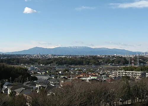 Tanzawa Sanchi Mountain, Kanagawa22 km S
-
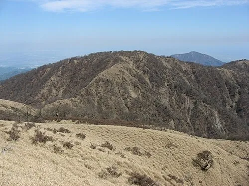 Mount Tanzawa Mountain, Ashigarakami-gun22 km SE
-
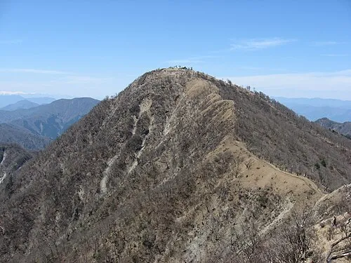 Mount Hiru Mountain, Midori-ku20 km SE
-
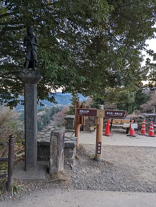 Mount Takao Mountain, Hachiōji18 km E
-
 Okutama-ko Lake, Tokyo14 km N
Sources & licences
Data last updated: · 2 independent sources