Castelo de Avô
Located in Avô, Oliveira do Hospital Municipality Coordinates: 40°17′35″ N 7°54′15″ W
- Local time
- UTC+00:00
- Europe/Lisbon · UTC+00:00
- Elevation
- 227 m
- above sea level
- Airports
- VSE Aerodromo Goncalves Lobato (Viseu Airport)48 km
- VRL Vila Real Airport110 km
About Castelo de Avô
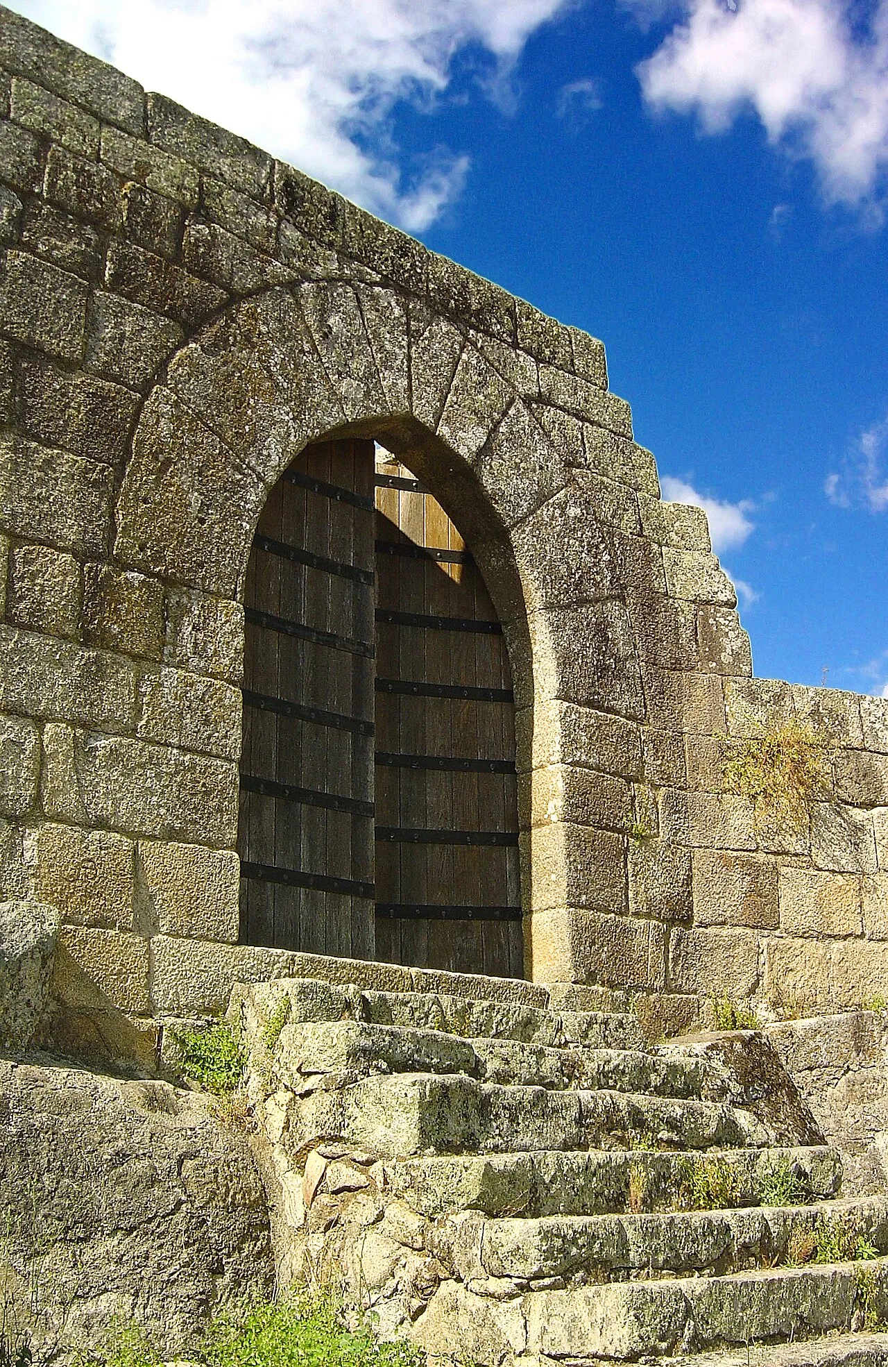
Castelo de Avô is a historic site. Location: Avô, Oliveira do Hospital Municipality. The best months to visit are May–October. The nearest airport is Aerodromo Goncalves Lobato (Viseu Airport) (48 km). Nearby sights include Castle of Avô and Cabeço de Vermum.
Photos of Castelo de Avô
-

Paulo Garcia Martins · CC BY-SA 4.0 -

Vitor Oliveira from Torres Vedras, PORTUGAL · CC BY-SA 2.0 -

Pedro from Maia · CC BY 2.0 -
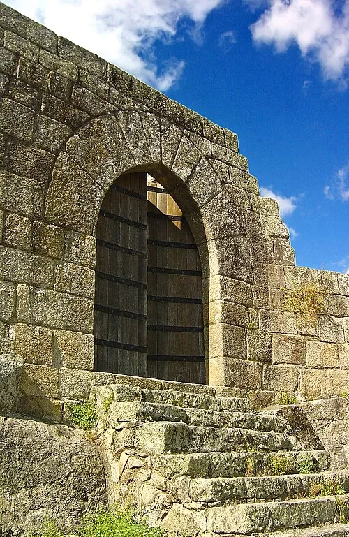
Castle of Avô Vitor Oliveira from Torres Vedras, PORTUGAL · CC BY-SA 2.0


Climate of Castelo de Avô
Best months for sightseeingBest months for sightseeing: May–October.
This month · November
A wet month
Day 16° · Night 9° · Rain 155 mm
- Hottest month
- August (day 29°)
- Coldest month
- January (night 6°)
- Wettest month
- January (197 mm)
- Driest month
- July (17 mm)
Bars: average monthly low and high temperature. Below: precipitation. Monthly averages for 1970–2000 at about 18 km resolution, adjusted for elevation. Highlighted months are mild and relatively dry. Source: WorldClim 2.1 (CC BY 4.0).
Show values as a table
| Month | Jan | Feb | Mar | Apr | May | Jun | Jul | Aug | Sep | Oct | Nov | Dec |
|---|---|---|---|---|---|---|---|---|---|---|---|---|
| Average high (°C) | 13° | 15° | 17° | 18° | 22° | 26° | 29° | 29° | 26° | 21° | 16° | 13° |
| Average low (°C) | 6° | 7° | 8° | 9° | 12° | 15° | 17° | 17° | 16° | 13° | 9° | 7° |
| Precipitation (mm) | 197 | 168 | 117 | 112 | 101 | 52 | 17 | 17 | 58 | 137 | 155 | 194 |
Other places to visit in this season: May June July August September October
How to get to Castelo de Avô
The nearest airport is Aerodromo Goncalves Lobato (Viseu Airport) (VSE), 48 km to the north as the crow flies. For international flights: Francisco de Sá Carneiro Airport (OPO) (125 km). The nearest large city is Porto, 112 km to the northwest.
Airports
- Aerodromo Goncalves Lobato (Viseu Airport) (VSE) Viseu 48 kmnorth
- Vila Real Airport (VRL) Vila Real 110 kmnorth
- Francisco de Sá Carneiro Airport (OPO) Porto 125 kmnorthwest
Nearby large cities
- Porto Population: 252.7K 112 kmnorthwest
- Braga Population: 193.3K 146 kmnorth
- Badajoz Population: 150.5K 176 kmsoutheast
- Salamanca Population: 144.8K 204 kmeast
- Lisbon Population: 517.8K 204 kmsouthwest
Straight-line distances; road distances are longer. Airport data: OurAirports.
Day trips from Castelo de Avô
Within 100 km: 26 historic and cultural sites, 147 natural sites, 13 lakes, rivers and coasts.
0–25 km20 places
- Cabeço das Lamas Mountain 20 kmS
- Cabeço do Gato Mountain 16 kmSW
- Cabeço do Fernando Mountain 17 kmSW
- Serra da Estrela - Torre Mountain 25 kmE
25–60 km63 places
- Botanical Garden of the University of Coimbra Attraction 45 kmW
- Alto da Lousa Mountain 40 kmNW
- Alto da Louriceira Mountain 41 kmNW
- Serra da Guardunha Mountain 40 kmSE
60–100 km103 places
- Sierra de Gata Mountain 96 kmE
- Pico Jálama Mountain 98 kmE
- Río de El Payo River 99 kmE
- Arroyo del Bardal River 95 kmE
Straight-line distances.
Nearby attractions & nature
Everything nearby-
Castle of Avô Historic site, Avô<0.1 km SW
-
Cabeço de Vermum Mountain, Piódão9.7 km SE
-
Cabeço da Picota Mountain, União das freguesias de Cepos e Teixeira10 km S
-
Alto do Ervedal Mountain, Piódão11 km S
-
Outeiro da Marrada Mountain, Piódão12 km SE
-
Cabeço do Gato Mountain, União das freguesias de Cadafaz e Colmeal16 km SW
-
Cabeço do Fernando Mountain, União das freguesias de Cepos e Teixeira17 km SW
-
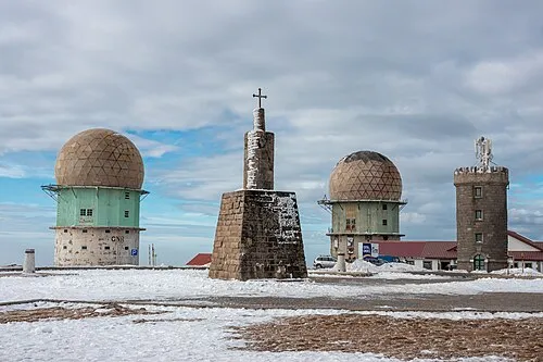 Serra da Estrela - Torre Mountain, Alvoco da Serra25 km E
Nearest towns and villages
-
Avô Village, Avô0.1 km SE
-
Santa Ovaia Village, União das freguesias de Santa Ovaia e Vila Pouca da Beira2.8 km NE
-
União das freguesias de Santa Ovaia e Vila Pouca da Beira Municipality, Oliveira do Hospital Municipality2.9 km NE
-
União das freguesias de Vila Cova de Alva e Anseriz Municipality, Arganil Municipality3.5 km SW
Sources & licences
Data last updated: