Balıkesir Province
Local name: Balıkesir ili
Located in Turkey Coordinates: 39°45′00″ N 28°00′00″ E
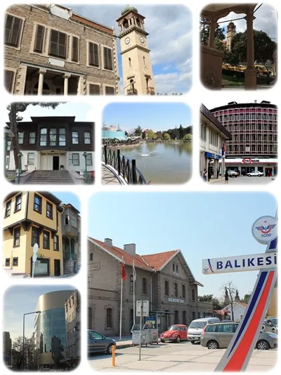
- Population
- 1,257,590
- 1.3M
- Elevation
- 253 m
- above sea level
- Local time
- UTC+03:00
- Europe/Istanbul · UTC+03:00
- Places inside
- 282
- listed under Balıkesir Province
- Airports
- BZI Balıkesir Airport16 km
- EDO Balıkesir Koca Seyit Airport88 km
About Balıkesir Province
Balıkesir Province is a region. Location: Turkey. Population: 1,257,590.
Balıkesir Province (Turkish: Balıkesir ili) is a province and metropolitan municipality in northwestern Turkey with coastlines on both the Sea of Marmara and the Aegean. Its area is 14,583 km2, and its population is 1,276,096 (2024). Its adjacent provinces are Çanakkale to the west, İzmir to the southwest, Manisa to the south, Kütahya to the southeast, and Bursa to the east. The provincial capital is Balıkesir.
Source: Wikipedia · CC BY-SA 4.0
Photos of Balıkesir Province
-
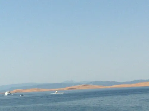
Gymno Island collage bird's eye v… · CC BY-SA 3.0

Travel notes for Balıkesir Province
From Wikivoyage
Balıkesir Province is in northwestern Turkey.
It’s divided between two regions and coasts:
Northern Aegean - Edremit Gulf and a string of small resorts including Altınoluk, Akçay, Güre and Burhaniye, plus the larger Ayvalık.
Southern Marmara - Balıkesir (the provincial capital), Bandırma, Erdek, Gönen, Marmara Islands and Sındırgı.
Source: Wikivoyage · CC BY-SA 4.0 · abridged
Places bordering Balıkesir Province
- Çanakkale Province
- İzmir Province
- Manisa Province
- Kütahya Province
- Bursa Province
Climate of Balıkesir Province
Best months for sightseeingBest months for sightseeing: May, September–October.
This month · November
Outside the best season
Day 15° · Night 5° · Rain 77 mm
Better nearby cities in November
- Aydin · 212 km south19°
- Hottest month
- July (day 30°)
- Coldest month
- January (night 0°)
- Wettest month
- December (110 mm)
- Driest month
- July (12 mm)
Bars: average monthly low and high temperature. Below: precipitation. Monthly averages for 1970–2000 at about 18 km resolution, adjusted for elevation. Highlighted months are mild and relatively dry. Source: WorldClim 2.1 (CC BY 4.0).
Show values as a table
| Month | Jan | Feb | Mar | Apr | May | Jun | Jul | Aug | Sep | Oct | Nov | Dec |
|---|---|---|---|---|---|---|---|---|---|---|---|---|
| Average high (°C) | 8° | 9° | 12° | 18° | 23° | 28° | 30° | 30° | 27° | 21° | 15° | 10° |
| Average low (°C) | 0° | 1° | 2° | 6° | 10° | 14° | 16° | 16° | 13° | 9° | 5° | 2° |
| Precipitation (mm) | 94 | 71 | 63 | 55 | 41 | 25 | 12 | 13 | 26 | 46 | 77 | 110 |
How to get to Balıkesir Province
The nearest airport is Balıkesir Airport (BZI), 16 km to the southwest as the crow flies. For international flights: Balıkesir Koca Seyit Airport (EDO) (88 km). The nearest large city is Balıkesir, 15 km to the southwest.
Airports
- Balıkesir Airport (BZI) Balıkesir 16 kmsouthwest
- Balıkesir Koca Seyit Airport (EDO) Edremit 88 kmwest
- Çanakkale Airport (CKZ) Çanakkale 141 kmwest
Nearby large cities
- Balıkesir Population: 238.2K 15 kmsouthwest
- Mustafakemalpaşa Population: 101.4K 47 kmnortheast
- Bandırma Population: 107.6K 67 kmnorth
- Nilufer Population: 536.4K 94 kmnortheast
- Bursa Population: 3.1M 103 kmnortheast
Straight-line distances; road distances are longer. Airport data: OurAirports.
Places in Balıkesir Province
282 places-
Balıkesir
Population: 238.2K
Altıeylül İlçesi
Population: 170.3K
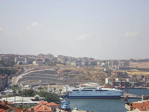
Bandırma İlçesi
Population: 143.1K
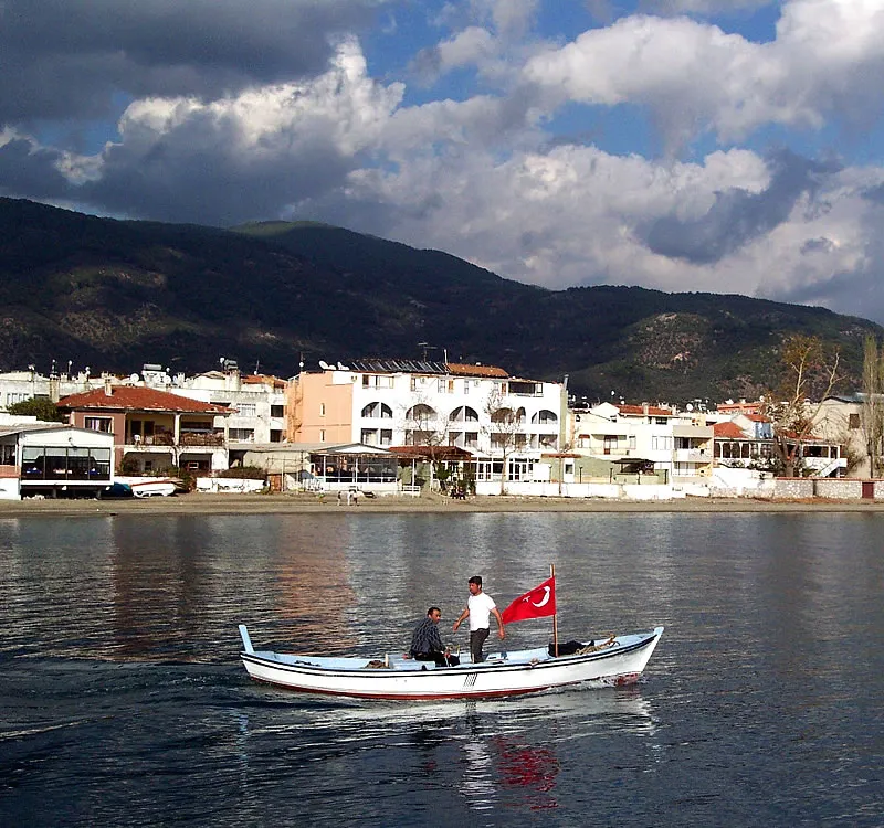
Edremit İlçesi
Population: 129.1K
Gönen İlçesi
Population: 73.3K
Ayvalık İlçesi
Population: 64.5K
- 7 Burhaniye İlçesi 52.7K
- 8 Bigadiç İlçesi 48.7K
- 9 Dursunbey İlçesi 40.6K
- 10 Susurluk İlçesi 40.3K
- 11 Sındırgı İlçesi 36.8K
- 12 İvrindi İlçesi 35.2K
- 13 Erdek İlçesi 33K
- 14 Kepsut İlçesi 25.1K
- 15 Manyas İlçesi 21.5K
- 16 Savaştepe İlçesi 19.5K
- 17 Balya İlçesi 14.2K
- 18 Salihler 3.6K
- 19 Asmalı 238
Bar: population relative to the most populous place in this list.
Cities & villages12
- Akköy · Village
- Aksakal Bucağı · Municipality
- Altınoluk Bucağı · Municipality
- Altınova Bucağı · Municipality
- Ayvalık Bucağı · Municipality
- Balya Bucağı · Municipality
- Bandırma Bucağı · Municipality
- Bigadiç Bucağı · Municipality
- Buğdaylı Bucağı · Municipality
- Burhaniye Bucağı · Municipality
- Çağış Bucağı · Municipality
- Çamlık · Village
Mountains & nature7
- Akçay Limanı · Natural site
- Aksu Çeşmesi · Natural site
- Alaçam Dağları · Mountain
- Ayvalık Limanı · Natural site
- Badalankörfezi · Natural site
- Bandırma Körfezi · Natural site
- Cennet Koyu · Natural site
Lakes, rivers & coasts22
- Ağa Deresi · River
- Akçaada · Island
- Akoğlu Adası · Island
- Anataş Adacık · Island
- Aşçı Deresi · River
- Aslı Adacığı · Island
- Avşa Adası · Island
- Bağlar Deresi · River
- Balat Deresi · River
- Balık Adası · Island
- Balıklı Dere · River
- Balıklı Dere · River
- Ballıpınar Deresi · River
- Çakır Dere · River
- Çakıroba Çayı · River
- Çanakçı Deresi · River
- Cehiz Deresi · River
- Ceylan Deresi · River
- Çiçek Adası · Island
- Çiftlik Deresi · River
- Çinge Deresi · River
- Çınarlı Dere · River
Largest cities and towns


Nature and heritage in Balıkesir Province
Sources & licences
Data last updated: · 2 independent sources