- Population
- 274,420
- 274.4K
- Elevation
- 96 m
- above sea level
- Local time
- UTC+03:00
- Europe/Istanbul · UTC+03:00
- Places inside
- 13
- listed under Şişli
- Airports
- SAW Istanbul Sabiha Gökçen International Airport32 km
- IST İstanbul Airport32 km
About Şişli
Şişli is a district. Location: Istanbul, Turkey. Population: 274,420. The best months to visit are May–October. The nearest airport is Istanbul Sabiha Gökçen International Airport (32 km). Nearby sights include 15 July Martyrs Bridge and Yıldız Hamidiye Mosque.
Photos of Şişli
-
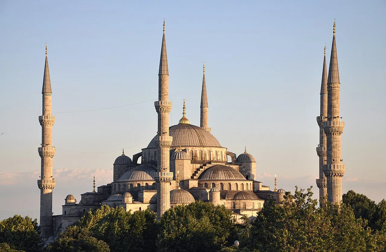
Blue Mosque Moonik · CC BY-SA 3.0 -
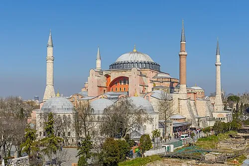
Hagia Sophia Arild Vågen · CC BY-SA 3.0 -
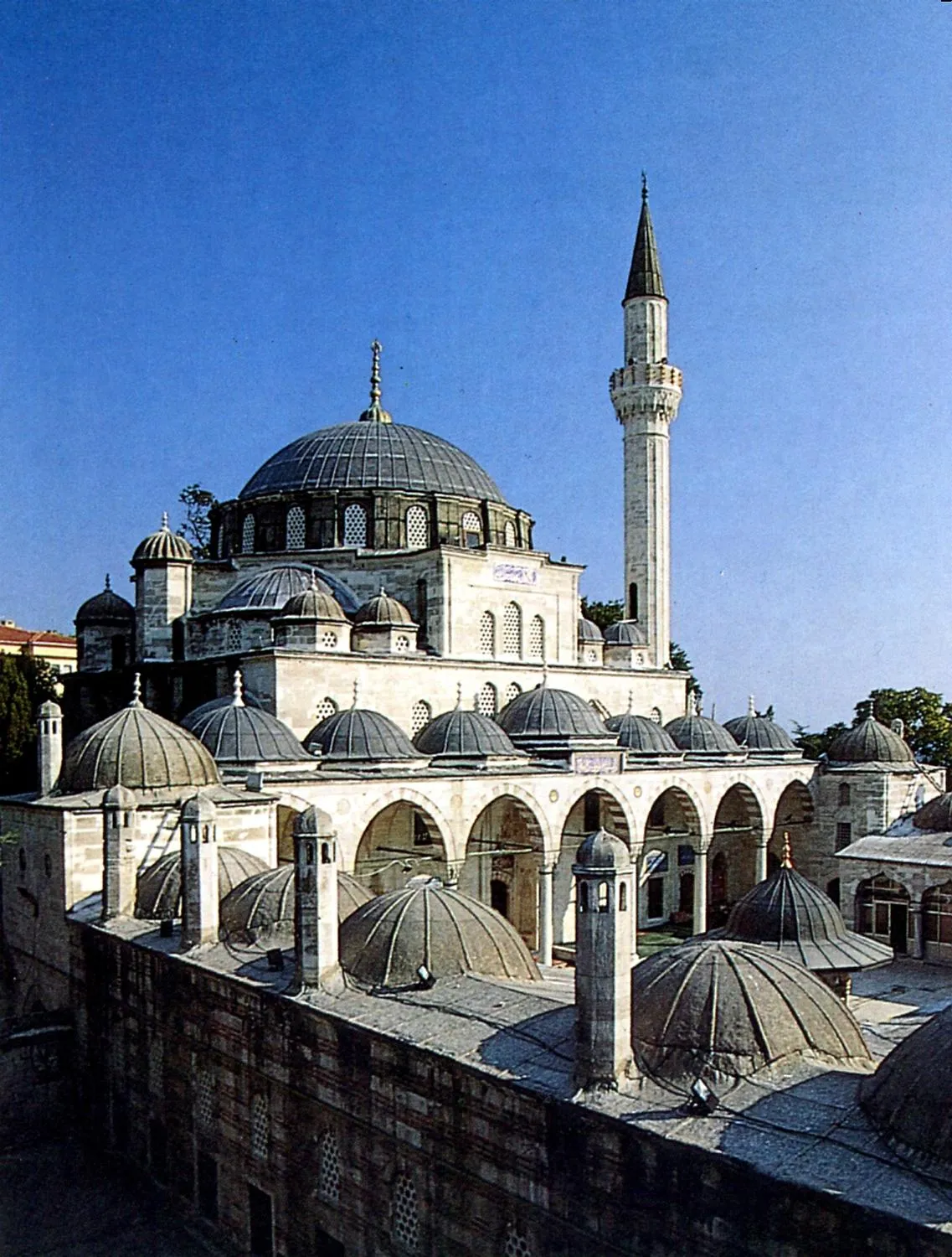
Sokollu Mehmet Pasha Mosque MChew · CC BY-SA 3.0 -
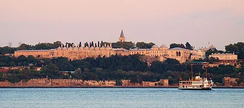
Topkapı Palace Bjørn Christian Tørrissen · CC BY-SA 3.0 -
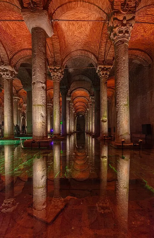
Basilica Cistern Diego Delso · CC BY-SA 4.0


Climate of Şişli
Best months for sightseeingBest months for sightseeing: May–October.
This month · November
Outside the best season
Day 14° · Night 8° · Rain 89 mm
Better nearby cities in November
- Aydin · 371 km south19°
- Hottest month
- July (day 28°)
- Coldest month
- February (night 3°)
- Wettest month
- December (113 mm)
- Driest month
- July (25 mm)
Bars: average monthly low and high temperature. Below: precipitation. Monthly averages for 1970–2000 at about 18 km resolution, adjusted for elevation. Highlighted months are mild and relatively dry. Source: WorldClim 2.1 (CC BY 4.0).
Show values as a table
| Month | Jan | Feb | Mar | Apr | May | Jun | Jul | Aug | Sep | Oct | Nov | Dec |
|---|---|---|---|---|---|---|---|---|---|---|---|---|
| Average high (°C) | 9° | 9° | 11° | 17° | 21° | 26° | 28° | 28° | 24° | 19° | 14° | 11° |
| Average low (°C) | 3° | 3° | 4° | 8° | 12° | 16° | 19° | 19° | 15° | 12° | 8° | 5° |
| Precipitation (mm) | 95 | 64 | 64 | 47 | 38 | 31 | 25 | 35 | 42 | 75 | 89 | 113 |
Other places to visit in this season: May June July August September October
How to get to Şişli
The nearest airport is Istanbul Sabiha Gökçen International Airport (SAW), 32 km to the southeast as the crow flies. The nearest large city is Şişli, 1 km to the west.
Airports
- Istanbul Sabiha Gökçen International Airport (SAW) Pendik, Istanbul 32 kmsoutheast
- İstanbul Airport (IST) Istanbul 32 kmnorthwest
- Tekirdağ Çorlu Airport (TEQ) Çorlu 91 kmwest
Nearby large cities
- Şişli Population: 314.7K 1 kmwest
- Üsküdar Population: 524.5K 4 kmsouth
- Fatih Population: 356K 6 kmsouthwest
- Istanbul Population: 15.7M 6 kmsouthwest
- Esenler Population: 520.2K 10 kmwest
Straight-line distances; road distances are longer. Airport data: OurAirports.
Day trips from Şişli
Within 100 km: 157 historic and cultural sites, 158 natural sites, 223 lakes, rivers and coasts.
0–25 km178 places
- Kısırka Village Beach 21 kmN
- Pita Island Island 21 kmS
- Princes Islands Island 19 kmS
- Proti Island Island 17 kmS
25–60 km144 places
- Karaburun Plajı Beach 39 kmNW
- Karaburun Sahili Plaj Beach 42 kmNW
- Yeniköy Plajı Beach 38 kmNW
- Kara Burun Plaji Beach 40 kmNW
60–100 km216 places
- Yeniköy Plaj Beach 90 kmSW
- İmralı Adası Island 70 kmSW
- Kadırga Island 97 kmE
- Lake İznik Lake 82 kmSE
Straight-line distances.
Places in Şişli
13 placesŞişli
Population: 314.7K

Mecidiyeköy
Population: 23.8K

Teşvikiye
Population: 12.2K

Esentepe
Population: 7.6K

Harbiye
Population: 2.8K
Cities & villages5
Mountains & nature1
- Maçka Park · Natural site
Heritage & sights1
- Istanbul Military Museum · Museum
Nearby attractions & nature
Everything nearby-
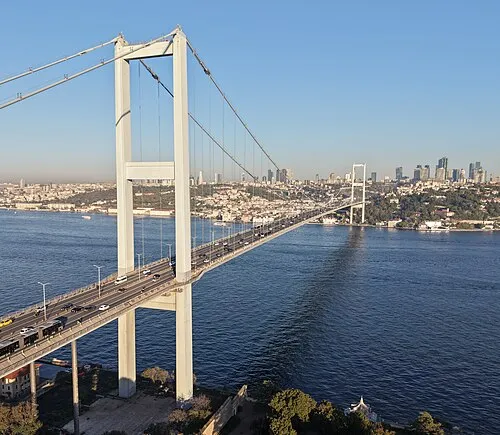 15 July Martyrs Bridge Landmark, Istanbul3.8 km SE
-
Yıldız Hamidiye Mosque Attraction, Beşiktaş1.8 km SE
-
Great Mabeyn Mansion Historic site, Beşiktaş1.8 km SE
-
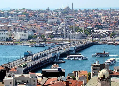 Galata Bridge Landmark, Istanbul4.8 km S
-
Yıldız-Park Natural site, Beşiktaş2.2 km SE
-
Dolmabahçe Palace Historic site, Beşiktaş2.4 km S
Sources & licences
Data last updated: