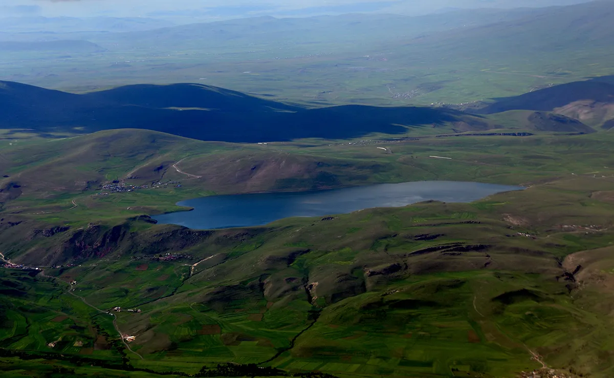
- Population
- 272,300
- 272.3K
- Elevation
- 1,986 m
- above sea level
- Local time
- UTC+03:00
- Europe/Istanbul · UTC+03:00
- Places inside
- 129
- listed under Kars Province
- Airports
- KSY Kars Airport16 km
- LWN Shirak International Airport75 km
About Kars Province
Kars Province is a region. Location: Turkey. Population: 272,300.
Kars Province (Turkish: Kars ili; Azerbaijani: Qars Rayonu; Kurdish: Parêzgeha Qersê; Armenian: Կարսի նահանգ) is a province of Turkey, located in the northeastern part of the country. It shares part of its closed border with Armenia. Its area is 10,193 km2, and its population is 274,829 (2022). The provincial capital is the city of Kars. The provinces of Ardahan and Iğdır were part of Kars Province until 1992.
Source: Wikipedia · CC BY-SA 4.0
Places bordering Kars Province
- Ardahan Province
- Iğdır Province
- Ağrı Province
- Erzurum Province
Population of Kars Province over time
| 2014 | 296,466 | |
|---|---|---|
| 2018 | 288,878 | |
| 2021 | 253,403 |
Censuses and official estimates; source: Wikidata.
Climate of Kars Province
Best months for sightseeingBest months for sightseeing: July–September.
This month · November
A cold month
Day 6° · Night -5° · Rain 33 mm
Better nearby cities in November
- Cizre · 352 km south20°
- Silopi · 357 km south20°
- Hottest month
- August (day 26°)
- Coldest month
- January (night -14°)
- Wettest month
- May (85 mm)
- Driest month
- January (22 mm)
Bars: average monthly low and high temperature. Below: precipitation. Monthly averages for 1970–2000 at about 18 km resolution, adjusted for elevation. Highlighted months are mild and relatively dry. Source: WorldClim 2.1 (CC BY 4.0).
Show values as a table
| Month | Jan | Feb | Mar | Apr | May | Jun | Jul | Aug | Sep | Oct | Nov | Dec |
|---|---|---|---|---|---|---|---|---|---|---|---|---|
| Average high (°C) | -4° | -3° | 2° | 10° | 15° | 20° | 24° | 26° | 22° | 14° | 6° | -2° |
| Average low (°C) | -14° | -14° | -9° | -1° | 3° | 6° | 9° | 9° | 5° | 0° | -5° | -10° |
| Precipitation (mm) | 22 | 27 | 29 | 51 | 85 | 70 | 44 | 37 | 29 | 42 | 33 | 26 |
How to get to Kars Province
The nearest airport is Kars Airport (KSY), 16 km to the north as the crow flies. For international flights: Shirak International Airport (LWN) (75 km). The nearest large city is Ağrı, 78 km to the south.
Airports
- Kars Airport (KSY) Kars 16 kmnorth
- Shirak International Airport (LWN) Gyumri 75 kmnortheast
- Iğdır Airport (IGD) Iğdır 83 kmsoutheast
Nearby large cities
- Ağrı Population: 124.5K 78 kmsouth
- Iğdır Population: 101.7K 99 kmsoutheast
- Erzurum Population: 767.8K 164 kmwest
- Van Population: 525K 215 kmsouth
- Rize Population: 119.8K 227 kmwest
Straight-line distances; road distances are longer. Airport data: OurAirports.
Places in Kars Province
129 places- 1 Sarıkamış İlçesi 48.4K
- 2 Kağızman İlçesi 47.4K
- 3 Digor İlçesi 25.8K
- 4 Selim İlçesi 25.8K
- 5 Arpaçay İlçesi 19.3K
- 6 Susuz İlçesi 11.8K
- 7 Akyaka İlçesi 10K
- 8 Aşağıçıyrıklı 185
Bar: population relative to the most populous place in this list.
Cities & villages5
- Akyaka Bucağı · Municipality
- Arpaçay Bucağı · Municipality
- Başgedikler Bucağı · Municipality
- Digor Bucağı · Municipality
- Doğruyol Bucağı · Municipality
Mountains & nature4
- Altınkaya Tepesi · Mountain
- Bakir Dağ · Mountain
- Çift Pınarı · Natural site
- Güllü Dağları · Mountain
Lakes, rivers & coasts42
- Acısu Deresi · River
- Ağıl Deresi · River
- Akanbahar Deresi · River
- Alabalık Deresi · River
- Aras Nehri · River
- Armutlu Deresi · River
- Aygır Gölü · Lake
- Başgedik Deresi · River
- Berdik Deresi · River
- Beylikçayır Deresi · River
- Boğameydanı Deresi · River
- Boğaz Deresi · River
- Bozkuş Deresi · River
- Bulanıksuyu Deresi · River
- Burcalı Deresi · River
- Büyükçayır Deresi · River
- Büyük Dere · River
- Büyük Dere · River
- Buzhane Deresi · River
- Buzhane Deresi · River
- Çala Deresi · River
- Çalı Gölü · Lake
- Çamurlu Dere · River
- Çarçı Deresi · River
- Çayarası Deresi · River
- Cedere Çayı · River
- Celal Deresi · River
- Çermeli Deresi · River
- Cili Gölü · Lake
- Cimrik Deresi · River
- Cinlisu Deresi · River
- Dalayer Deresi · River
- Değirmen Deresi · River
- Değirmen Deresi · River
- Deniz Gölü · Lake
- Derinöz Deresi · River
- Emirgan Deresi · River
- Eskikarakurt Deresi · River
- Eyüp Deresi · River
- Fehmiharabesi Deresi · River
- Gaziler Çayı · River
- Gelört Gölü · Lake
Heritage & sights1
- Bridge ruins over the Akhuryan river · Historic site
Largest cities and towns
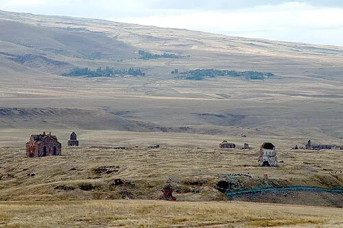
Nature and heritage in Kars Province
Sources & licences
Data last updated: · 2 independent sources