Gemeente Hillegom
Located in South Holland, The Netherlands Coordinates: 52°17′46″ N 4°34′42″ E
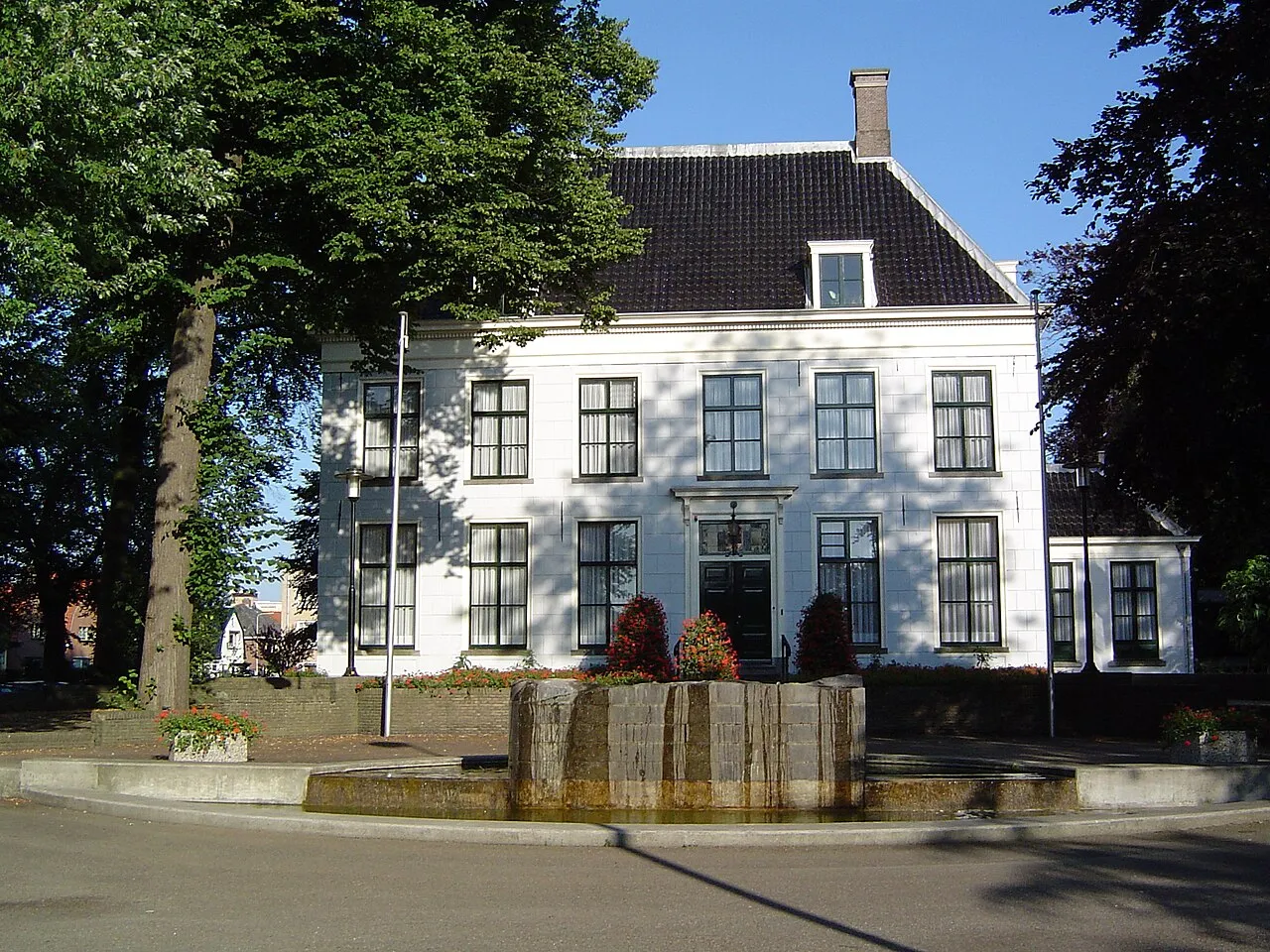
- Population
- 22,197
- 22.2K
- Elevation
- 2 m
- above sea level
- Local time
- UTC+01:00
- Europe/Amsterdam · UTC+01:00
- Places inside
- 3
- listed under Gemeente Hillegom
- Airports
- AMS Amsterdam Airport Schiphol13 km
- RTM Rotterdam The Hague Airport39 km
About Gemeente Hillegom
Gemeente Hillegom is a district. Location: South Holland, The Netherlands. Population: 22,197.
Hillegom (Dutch: [ˌɦɪləˈɣɔm] ) is a town and municipality in the Western Netherlands, in the province of South Holland. Hillegom is part of an area called the Duin- en Bollenstreek ("Dune and Bulb Region"). As such, a large portion of the local economy was traditionally geared to the cultivation of bulb flowers. The name Hillegom is derived from the abbey named Hijlighem (Old Frankish for "Holy Home"). This abbey no longer exists. The current Lord of Hillegom is Jan Six X.
Source: Wikipedia · CC BY-SA 4.0
Places bordering Gemeente Hillegom
- Lisse Municipality
Population of Gemeente Hillegom over time
| 1960 | 15,156 | |
|---|---|---|
| 1971 | 17,473 | |
| 1980 | 18,203 | |
| 1990 | 19,884 | |
| 2000 | 20,855 | |
| 2010 | 20,627 | |
| 2016 | 21,091 | |
| 2017 | 21,316 | |
| 2018 | 21,812 | |
| 2019 | 21,966 | |
| 2020 | 22,209 | |
| 2021 | 22,197 |
Censuses and official estimates; source: Wikidata.
Climate of Gemeente Hillegom
Best months for sightseeingBest months for sightseeing: June–August.
This month · November
A cold month
Day 10° · Night 4° · Rain 95 mm
- Hottest month
- August (day 21°)
- Coldest month
- February (night 0°)
- Wettest month
- November (95 mm)
- Driest month
- April (46 mm)
Bars: average monthly low and high temperature. Below: precipitation. Monthly averages for 1970–2000 at about 18 km resolution, adjusted for elevation. Highlighted months are mild and relatively dry. Source: WorldClim 2.1 (CC BY 4.0).
Show values as a table
| Month | Jan | Feb | Mar | Apr | May | Jun | Jul | Aug | Sep | Oct | Nov | Dec |
|---|---|---|---|---|---|---|---|---|---|---|---|---|
| Average high (°C) | 6° | 6° | 9° | 12° | 17° | 19° | 21° | 21° | 18° | 14° | 10° | 7° |
| Average low (°C) | 1° | 0° | 2° | 4° | 8° | 11° | 13° | 13° | 11° | 7° | 4° | 2° |
| Precipitation (mm) | 69 | 49 | 63 | 46 | 47 | 67 | 67 | 64 | 87 | 91 | 95 | 79 |
How to get to Gemeente Hillegom
The nearest airport is Amsterdam Airport Schiphol (AMS), 13 km to the east as the crow flies. The nearest large city is Hoofddorp, 8 km to the east.
Airports
- Amsterdam Airport Schiphol (AMS) Amsterdam 13 kmeast
- Rotterdam The Hague Airport (RTM) Rotterdam 39 kmsouth
- Eindhoven Airport (EIN) Eindhoven 109 kmsoutheast
Nearby large cities
- Hoofddorp Population: 132.7K 8 kmeast
- Haarlem Population: 162.5K 10 kmnortheast
- Leiden Population: 119.7K 16 kmsouth
- Amsterdam Population: 741.6K 23 kmeast
- Zaanstad Population: 140.1K 24 kmnortheast
Straight-line distances; road distances are longer. Airport data: OurAirports.
Day trips from Gemeente Hillegom
Within 100 km: 130 historic and cultural sites, 74 natural sites, 35 lakes, rivers and coasts.
0–25 km55 places
- Obrechtkerk Attraction 21 kmE
- Noorderkerk Attraction 23 kmNE
- Westerkerk Attraction 23 kmNE
- Mozes en Aäronkerk Attraction 24 kmE
25–60 km62 places
- IJsselmonde Island 48 kmS
- Habana Beach Beach 35 kmSW
- Strandslag Sint Maartenszee Beach 56 kmN
- Strandslag Petten Beach 53 kmN
60–100 km122 places
- Texel Island 89 kmN
- Putjensberg Mountain 97 kmE
- Stappensven Lake 99 kmS
- Hassel Bos Natural site 98 kmS
Straight-line distances.
Places in Gemeente Hillegom
3 placesBar: population relative to the most populous place in this list.
Cities & villages1
- Arnoud · Village
Nearby attractions & nature
Everything nearby-
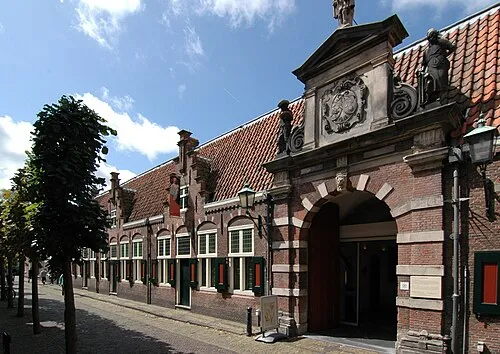 Frans Hals Museum Museum, Gemeente Haarlem9.7 km NE
-
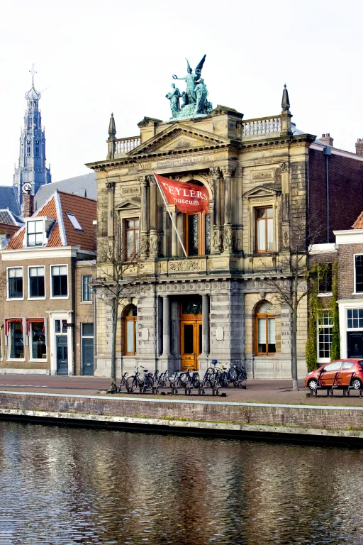 Teylers Museum Museum, Gemeente Haarlem10 km NE
-
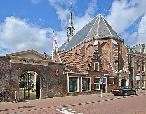 Janskerk Attraction, Gemeente Haarlem11 km NE
-
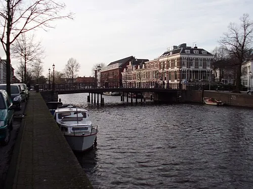 Nassaubrug Landmark, Gemeente Haarlem11 km N
-
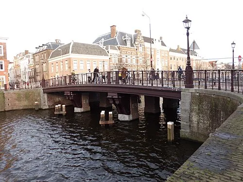 Kruisbrug Landmark, Gemeente Haarlem11 km N
-
Olympic Stadium Landmark, Gemeente Amsterdam20 km E
Sources & licences
Data last updated: · 2 independent sources