- Population
- 6,183
- 6.2K
- Elevation
- 51 m
- above sea level
- Local time
- UTC+03:00
- Europe/Istanbul · UTC+03:00
- Airports
- SAW Istanbul Sabiha Gökçen International Airport85 km
- YEI Bursa Yenişehir Airport107 km
About Kaynarca
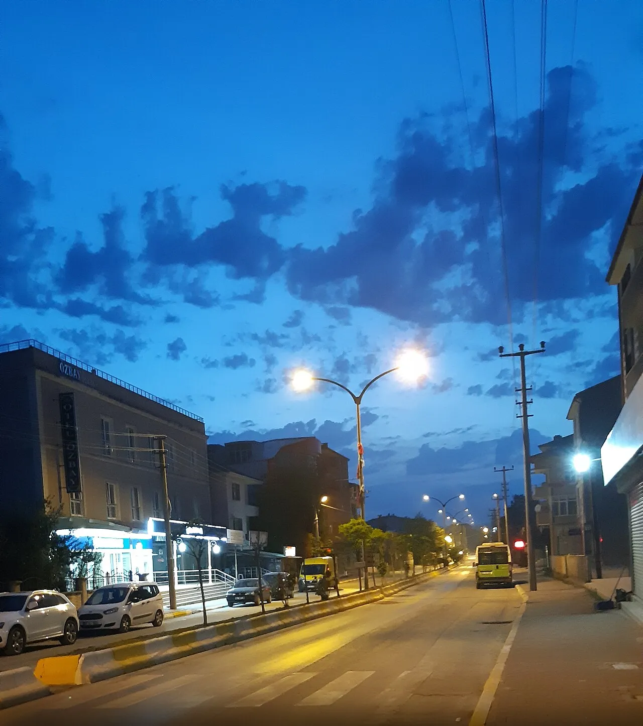
Kaynarca is a city. Location: Kaynarca İlçesi, Sakarya Province. Population: 6,183. Elevation: 51 m.
Kaynarca, formerly Şeyhler, is a municipality and district of Sakarya Province, Turkey. Its area is 343 km2, and its population is 24,483 (2022). The mayor is Kadir Yazgan (YRP). The nature reserve Acarlar Floodplain Forest, which is Turkey's biggest mono-bloc floodplain forest, is located northeast of Kaynarca.
Source: Wikipedia · CC BY-SA 4.0
At a glance
- Area
- 343 km²
Source: Wikidata
Climate of Kaynarca
Best months for sightseeingBest months for sightseeing: May–October.
This month · November
Outside the best season
Day 15° · Night 7° · Rain 97 mm
- Hottest month
- July (day 28°)
- Coldest month
- January (night 3°)
- Wettest month
- December (123 mm)
- Driest month
- July (45 mm)
Bars: average monthly low and high temperature. Below: precipitation. Monthly averages for 1970–2000 at about 18 km resolution, adjusted for elevation. Highlighted months are mild and relatively dry. Source: WorldClim 2.1 (CC BY 4.0).
Show values as a table
| Month | Jan | Feb | Mar | Apr | May | Jun | Jul | Aug | Sep | Oct | Nov | Dec |
|---|---|---|---|---|---|---|---|---|---|---|---|---|
| Average high (°C) | 9° | 10° | 12° | 17° | 21° | 26° | 28° | 27° | 24° | 20° | 15° | 11° |
| Average low (°C) | 3° | 3° | 4° | 8° | 11° | 15° | 17° | 17° | 14° | 11° | 7° | 5° |
| Precipitation (mm) | 98 | 74 | 71 | 54 | 46 | 49 | 45 | 54 | 62 | 97 | 97 | 123 |
Other places to visit in this season: May June July August September October
How to get to Kaynarca
The nearest airport is Istanbul Sabiha Gökçen International Airport (SAW), 85 km to the west as the crow flies. The nearest large city is Adapazarı, 29 km to the south.
Airports
- Istanbul Sabiha Gökçen International Airport (SAW) Pendik, Istanbul 85 kmwest
- Bursa Yenişehir Airport (YEI) Yenişehir 107 kmsouthwest
- İstanbul Airport (IST) Istanbul 135 kmwest
Nearby large cities
- Adapazarı Population: 286.8K 29 kmsouth
- İzmit Population: 196.6K 43 kmsouthwest
- Derince Population: 125.5K 51 kmsouthwest
- Düzce Population: 194.1K 75 kmeast
- Gebze Population: 281.4K 78 kmwest
Straight-line distances; road distances are longer. Airport data: OurAirports.
Nearby attractions & nature
Everything nearby-
Ana Dere River, Kocaeli Province1.9 km E
-
Beşikli Tepe Mountain, Kocaeli Province8.6 km NE
-
Oflak Dağı Mountain, Kaynarca İlçesi10 km SE
-
Karaağaç Deresi River, Kocaeli Province7.7 km SW
-
Büyük Dere River, Kocaeli Province9.2 km SE
-
Değirmen Deresi River, Kocaeli Province9.8 km N
-
Uzungöl Deresi River, Kocaeli Province11 km NW
-
Kaynarca Deresi River, Kocaeli Province12 km NE
Sources & licences
Data last updated: · 2 independent sources