- Population
- 326,889
- 326.9K
- Elevation
- 63 m
- above sea level
- Local time
- UTC+00:00
- Europe/London · UTC+00:00
- Places inside
- 72
- listed under Bromley
- Airports
- LCY London City Airport11 km
- LGW London Gatwick Airport33 km
About Bromley
Bromley is a municipality. Location: Greater London, England. Population: 326,889. Elevation: 63 m. The best months to visit are June–August. The nearest airport is London City Airport (11 km). Nearby sights include Beckenham Place Park and Selhurst Park.
Climate of Bromley
Best months for sightseeingBest months for sightseeing: June–August.
This month · November
A cold month
Day 10° · Night 4° · Rain 68 mm
- Hottest month
- July (day 22°)
- Coldest month
- February (night 1°)
- Wettest month
- January (70 mm)
- Driest month
- July (42 mm)
Bars: average monthly low and high temperature. Below: precipitation. Monthly averages for 1970–2000 at about 18 km resolution, adjusted for elevation. Highlighted months are mild and relatively dry. Source: WorldClim 2.1 (CC BY 4.0).
Show values as a table
| Month | Jan | Feb | Mar | Apr | May | Jun | Jul | Aug | Sep | Oct | Nov | Dec |
|---|---|---|---|---|---|---|---|---|---|---|---|---|
| Average high (°C) | 7° | 7° | 10° | 13° | 17° | 20° | 22° | 22° | 19° | 15° | 10° | 8° |
| Average low (°C) | 2° | 1° | 3° | 4° | 7° | 10° | 12° | 12° | 10° | 7° | 4° | 3° |
| Precipitation (mm) | 70 | 44 | 51 | 46 | 48 | 54 | 42 | 50 | 60 | 65 | 68 | 67 |
How to get to Bromley
The nearest airport is London City Airport (LCY), 11 km to the north as the crow flies. For international flights: London Gatwick Airport (LGW) (33 km). The nearest large city is Croydon, 9 km to the southwest.
Airports
- London City Airport (LCY) London 11 kmnorth
- London Gatwick Airport (LGW) London 33 kmsouthwest
- London Heathrow Airport (LHR) London 33 kmwest
Nearby large cities
- Croydon Population: 173.3K 9 kmsouthwest
- Bexley Population: 228K 10 kmeast
- City of Westminster Population: 247.6K 14 kmnorthwest
- Barking Population: 218.5K 14 kmnorth
- London Population: 9M 14 kmnorthwest
Straight-line distances; road distances are longer. Airport data: OurAirports.
Day trips from Bromley
Within 100 km: 807 historic and cultural sites, 587 natural sites, 321 lakes, rivers and coasts.
0–25 km412 places
- White Hart Lane Landmark 22 kmN
- Lot's Ait Island 23 kmW
- Ravens Ait Island 23 kmW
- Rook Island Island 17 kmN
25–60 km505 places
- Isle of Sheppey Island 57 kmE
- Spotlites @ Kings Theatre Attraction 36 kmE
- Yantlet beach Beach 46 kmE
- Northey Island Island 59 kmNE
60–100 km798 places
- St Nicholas Church Shoreham Attraction 67 kmS
- The Marlipins Museum Museum 68 kmS
- Camber Sands Beach 76 kmSE
- West Mersea Beach Beach 75 kmNE
Straight-line distances.
Bromley and similar cities
Side by side with cities of similar size in the same country: population, elevation and climate.
| Measure | Bromley | Birkenhead | Nottingham | Islington |
|---|---|---|---|---|
| Population | 326.9K | 325.3K | 323.6K | 319.1K |
| Elevation | 63 m | 22 m | 46 m | 37 m |
| Summer day (hottest month) | 22° | 20° | 22° | 23° |
| Winter night (coldest month) | 1° | 2° | 1° | 2° |
| Annual rainfall | 665 mm | 722 mm | 611 mm | 624 mm |
| Best months | Jun–Aug | Jun–Aug | Jun–Aug | Jun–Aug |
| Distance | — | 301 km | 189 km | 16 km |
Climate values are 1970–2000 monthly averages; straight-line distance.
Places in Bromley
72 placesBromley
Population: 87.9K
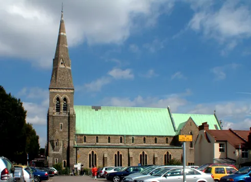
Beckenham
Population: 60.7K
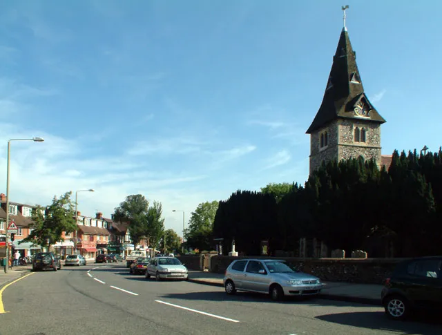
Hayes
Population: 15.9K
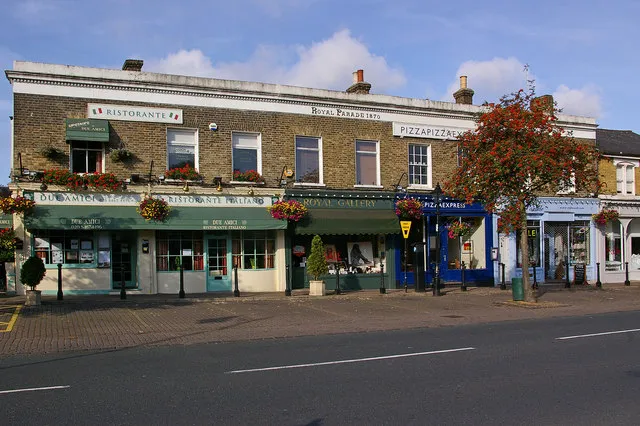
Chislehurst
Population: 15.6K
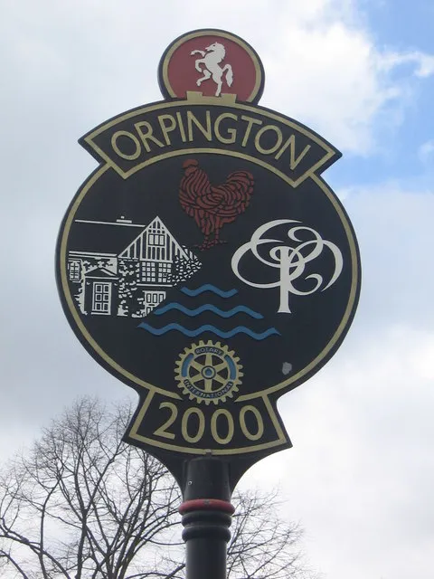
Orpington
Population: 15.2K
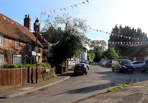
Chelsfield
Population: 14.5K
- 7 West Wickham 14.3K
- 8 Bickley 13.9K
- 9 Crystal Palace 12.3K
- 10 Biggin Hill 10.8K
- 11 Shortlands 9.3K
- 12 Farnborough 9K
- 13 Cudham 362
- 14 Downe 327
- 15 Berry's Green 232
Bar: population relative to the most populous place in this list.
Cities & villages41
- Anerley · Village
- Bopeep · Village
- Bromley Common and Keston · Neighbourhood
- Bromley Town · Neighbourhood
- Broom Hill · Neighbourhood
- Chelsfield and Pratts Bottom · Neighbourhood
- Chislehurst West · Neighbourhood
- Clock House · Neighbourhood
- Copers Cope · Neighbourhood
- Cray Valley East · Neighbourhood
- Cray Valley West · Neighbourhood
- Darwin · Neighbourhood
- Derry Downs · Neighbourhood
- Elmers End · Village
- Elmstead · Neighbourhood
- Farnborough and Crofton · Neighbourhood
- Farthing Street · Village
- Goddington · Neighbourhood
- Green Street Green · Neighbourhood
- Hayes and Coney Hall · Neighbourhood
- Hazelwood · Village
- Hockenden · Village
- Horns Green · Village
- Kelsey and Eden Park · Neighbourhood
- Keston · Neighbourhood
- Kevington · Village
- Leaves Green · Village
- Locksbottom · Village
- Luxted · Village
- Maypole · Village
- Mottingham and Chislehurst North · Neighbourhood
- Nash · Village
- New Beckenham · Neighbourhood
- Park Langley · Neighbourhood
- Penge · Neighbourhood
- Penge and Cator · Neighbourhood
- Petts Wood and Knoll · Neighbourhood
- Plaistow and Sundridge · Neighbourhood
- Poverest · Neighbourhood
- Pratt's Bottom · Village
- Ramsden · Neighbourhood
Mountains & nature3
- Cator Park · Natural site
- Downe Bank Nature Reserve · Natural site
- Keston Common (SSSI) · Natural site
Heritage & sights1
- Chrystal Palace Transmitting Station · Landmark
Nearby attractions & nature
Everything nearby-
Beckenham Place Park Natural site, Lewisham2.1 km W
-
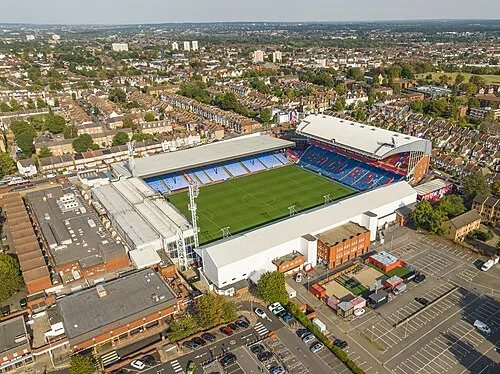 Selhurst Park Landmark, Croydon7 km W
-
Eltham Palace Historic site, Greenwich4.4 km NE
-
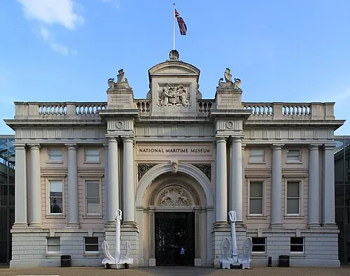 National Maritime Museum Museum, Greenwich7.5 km N
-
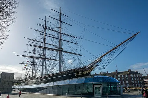 Cutty Sark Museum, Greenwich7.7 km N
-
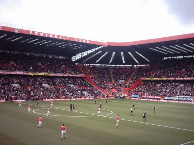 The Valley Landmark, Greenwich8.2 km N
-
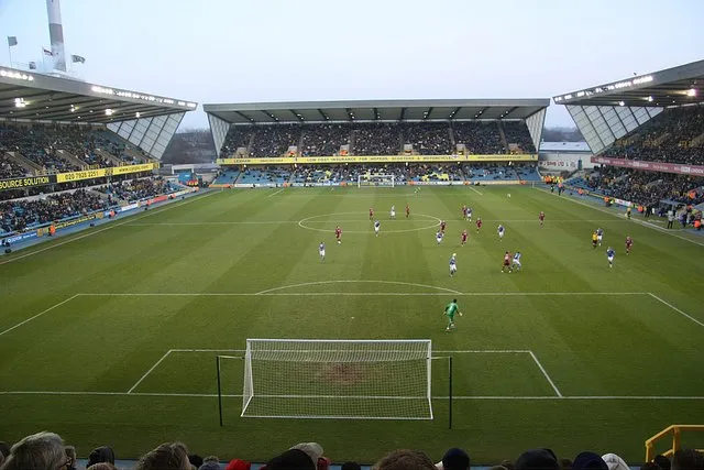 The Den Landmark, Lewisham9 km NW
-
Peckham Rye Park Natural site, Greater London7.1 km NW
Other cities and towns in Greater London
Sources & licences
Data last updated: