- Population
- 248,752
- 248.8K
- Elevation
- 93 m
- above sea level
- Local time
- UTC+00:00
- Europe/London · UTC+00:00
- Places inside
- 32
- listed under Harrow
- Airports
- LHR London Heathrow Airport14 km
- LCY London City Airport28 km
About Harrow
Harrow is a municipality. Location: Greater London, England. Population: 248,752. Elevation: 93 m. The best months to visit are June–August. The nearest airport is London Heathrow Airport (14 km). Nearby sights include Sudbury and Wembley Stadium.
Climate of Harrow
Best months for sightseeingBest months for sightseeing: June–August.
This month · November
A cold month
Day 10° · Night 4° · Rain 61 mm
- Hottest month
- July (day 22°)
- Coldest month
- February (night 1°)
- Wettest month
- October (64 mm)
- Driest month
- February (41 mm)
Bars: average monthly low and high temperature. Below: precipitation. Monthly averages for 1970–2000 at about 18 km resolution, adjusted for elevation. Highlighted months are mild and relatively dry. Source: WorldClim 2.1 (CC BY 4.0).
Show values as a table
| Month | Jan | Feb | Mar | Apr | May | Jun | Jul | Aug | Sep | Oct | Nov | Dec |
|---|---|---|---|---|---|---|---|---|---|---|---|---|
| Average high (°C) | 7° | 8° | 10° | 13° | 17° | 20° | 22° | 22° | 19° | 15° | 10° | 8° |
| Average low (°C) | 2° | 1° | 3° | 4° | 7° | 10° | 12° | 12° | 10° | 7° | 4° | 3° |
| Precipitation (mm) | 63 | 41 | 49 | 46 | 50 | 55 | 43 | 51 | 58 | 64 | 61 | 62 |
How to get to Harrow
The nearest airport is London Heathrow Airport (LHR), 14 km to the southwest as the crow flies. The nearest large city is Harrow, 1 km to the north.
Airports
- London Heathrow Airport (LHR) London 14 kmsouthwest
- London City Airport (LCY) London 28 kmeast
- London Luton Airport (LTN) Luton, Luton 34 kmnorth
Nearby large cities
- Harrow Population: 149.2K 1 kmnorth
- Watford Population: 125.7K 11 kmnorthwest
- Archway Population: 215.7K 14 kmeast
- City of Westminster Population: 247.6K 16 kmsoutheast
- London Population: 9M 16 kmsoutheast
Straight-line distances; road distances are longer. Airport data: OurAirports.
Day trips from Harrow
Within 100 km: 856 historic and cultural sites, 634 natural sites, 320 lakes, rivers and coasts.
0–25 km456 places
- White Hart Lane Landmark 19 kmE
- Holm Island Island 20 kmSW
- Sunbury Court Island 18 kmS
- Rivermead Island 18 kmS
25–60 km547 places
- The Lynch Island 40 kmW
- Wargrave Island Island 38 kmW
- Loddon Island Island 39 kmW
- Temple Mill Island Island 32 kmW
60–100 km807 places
- Portsea Island Natural site 100 kmSW
- Isle of Sheppey Island 83 kmE
- Spotlites @ Kings Theatre Attraction 64 kmE
- St Nicholas Church Shoreham Attraction 81 kmS
Straight-line distances.
Harrow and similar cities
Side by side with cities of similar size in the same country: population, elevation and climate.
| Measure | Harrow | City of Westminster | Northampton | Milton Keynes |
|---|---|---|---|---|
| Population | 248.8K | 247.6K | 245.9K | 256.4K |
| Elevation | 93 m | 22 m | 97 m | 114 m |
| Summer day (hottest month) | 22° | 23° | 22° | 22° |
| Winter night (coldest month) | 1° | 2° | 1° | 1° |
| Annual rainfall | 643 mm | 661 mm | 619 mm | 620 mm |
| Best months | Jun–Aug | Jun–Aug | Jun–Aug | Jun–Aug |
| Distance | — | 16 km | 85 km | 60 km |
Climate values are 1970–2000 monthly averages; straight-line distance.
Places in Harrow
32 places- 1 Harrow 149.2K
- 2 Kenton 35.6K
- 3 Pinner 19.2K
- 4 Wealdstone 18.5K
- 5 Headstone 14.9K
- 6 Harrow Weald 14.3K
- 7 Wealdstone 11.4K
- 8 Harrow on the Hill 10.6K
- 9 West Harrow 10.4K
- 10 Hatch End 9.8K
- 11 Greenhill 9.3K
- 12 Rayners Lane 9.1K
- 13 Belmont 9K
- 14 Stanmore 4.2K
Bar: population relative to the most populous place in this list.
Cities & villages16
- Canons · Neighbourhood
- Canons Park · Village
- Edgware · Neighbourhood
- Headstone North · Neighbourhood
- Headstone South · Neighbourhood
- Kenton East · Neighbourhood
- Kenton West · Neighbourhood
- Little Stanmore · Neighbourhood
- Marlborough · Neighbourhood
- Pinner Green · Neighbourhood
- Pinner South · Neighbourhood
- Pinnerwood Park · Neighbourhood
- Queensbury · Neighbourhood
- Roxbourne · Neighbourhood
- Roxeth · Neighbourhood
- Stanmore Park · Neighbourhood
Mountains & nature1
- Harrow on the Hill · Mountain
Heritage & sights1
- Betley Priory · Attraction
Nearby attractions & nature
Everything nearby-
Sudbury Mountain, Brent0.8 km SE
-
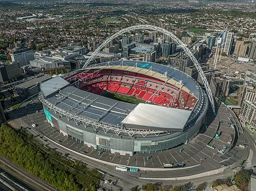 Wembley Stadium Landmark, Brent3.9 km E
-
Horsenden Hill Mountain, Ealing2.3 km S
-
Wembley Hill Mountain, Brent3.2 km E
-
Barn Hill Mountain, Brent3.8 km E
-
Watkin's Tower Historic site, Brent3.9 km E
-
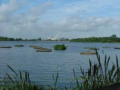 Welsh Harp Lake, Barnet6 km E
-
Trailfinders Sports Ground Landmark, Ealing4.7 km S
Other cities and towns in Greater London
-
Ealing Municipality, Greater London6.4 km S
-
Hammersmith and Fulham Municipality, Greater London9.4 km SE
-
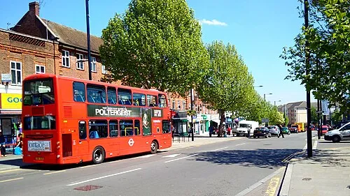 Greenford Town, Ealing4.5 km S
-
Hillingdon Municipality, Greater London11 km SW
-
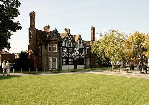 Southall Town, Ealing6.9 km S
-
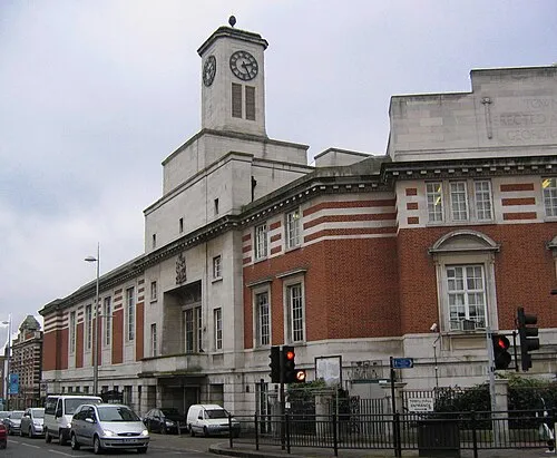 Acton Town, Ealing7.5 km SE
Sources & licences
Data last updated: