- Elevation
- 4 m
- above sea level
- Local time
- UTC+09:00
- Asia/Tokyo · UTC+09:00
- Airports
- KMQ Komatsu Airport / JASDF Komatsu Air Base41 km
- TOY Toyama Kitokito Airport110 km
About Asuwa River
Asuwa River is a river. Location: Japan.
The Asuwa River (足羽川, Asuwa-gawa) is a river in Fukui Prefecture, Japan. It stretches 61.7 km (38 mi) from Mount Kanmuri in the town of Ikeda to the Hino and the Kuzuryū rivers.
Read more on Wikipedia Text: Wikipedia contributors · CC BY-SA 4.0 · shortened
At a glance
- Length
- 62 km
Source: Wikidata
Climate of Asuwa River
Best months for sightseeingBest months for sightseeing: May–June, September–October.
Bars: average monthly low and high temperature. Below: precipitation. Monthly averages for 1970–2000 at about 18 km resolution, adjusted for elevation. Highlighted months are mild and relatively dry. Source: WorldClim 2.1 (CC BY 4.0).
Show values as a table
| Month | Jan | Feb | Mar | Apr | May | Jun | Jul | Aug | Sep | Oct | Nov | Dec |
|---|---|---|---|---|---|---|---|---|---|---|---|---|
| Average high (°C) | 6° | 6° | 10° | 17° | 22° | 25° | 29° | 31° | 26° | 21° | 15° | 10° |
| Average low (°C) | 0° | 0° | 2° | 8° | 13° | 18° | 22° | 23° | 19° | 12° | 7° | 2° |
| Precipitation (mm) | 270 | 179 | 149 | 145 | 149 | 207 | 220 | 137 | 225 | 159 | 190 | 261 |
Other places to visit in this season: May June September October
Airports nearest to Asuwa River
- Komatsu Airport / JASDF Komatsu Air Base (KMQ) Kanazawa 41 km
- Toyama Kitokito Airport (TOY) Toyama 110 km
- Nagoya Airport / JASDF Komaki Air Base (NKM) Nagoya 112 km
Straight-line distance; airports with scheduled flights only. Source: OurAirports (public domain).
Nearest towns and villages
-
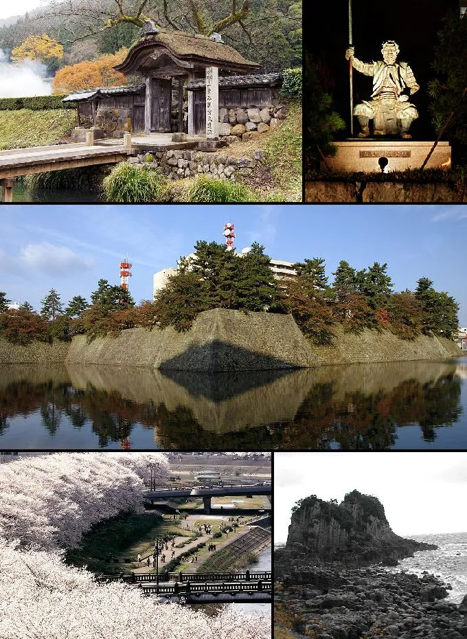 Fukui-shi City, Fukui3 km E
-
Sakai City, Sakai8.8 km N
-
Maruoka Town, Sakai12 km NE
-
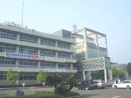 Sabae City, Sabae Shi14 km S
-
Echizen-chō Municipality, Nyu14 km SW
-
Eiheiji Chō Municipality, Yoshida Gun15 km E
More lakes, rivers and coasts in Japan
-
Kuzuryu River River, Japan16 km N
-
Tedori River River, Ishikawa53 km NE
-
Kakehashi River River, Japan45 km NE
-
Kamo River River, Japan129 km S
-
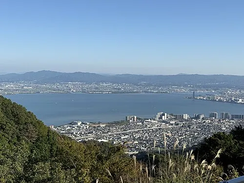 Lake Biwa Lake, Shiga Prefecture91 km S
-
Kiso River River, Mie126 km SE
Sources & licences
Data last updated: · 2 independent sources