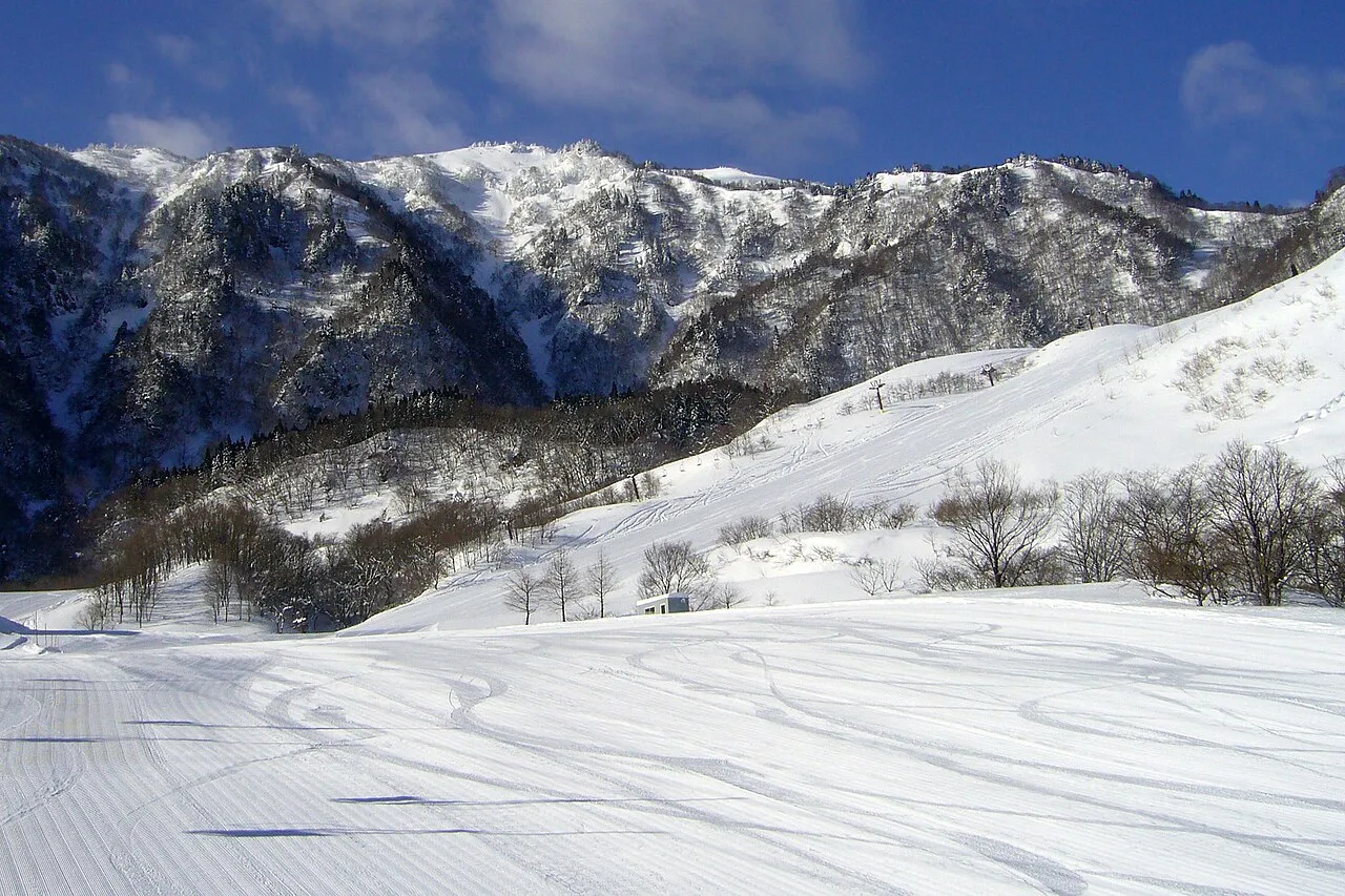
- Elevation
- 1,101 m
- above sea level
- Local time
- UTC+09:00
- Asia/Tokyo · UTC+09:00
- Airports
- TTJ Tottori Sand Dunes Conan Airport34 km
- OKJ Okayama Momotaro Airport56 km
About Chūgoku-sammyaku
Chūgoku-sammyaku is a mountain. Location: Japan. Elevation: 1,101 m.
Chūgoku Mountains (中国山地, Chūgoku Sanchi) is a mountain range in the Chūgoku region of western Japan. It runs in an east–west direction and stretches approximately 500 km (311 mi) from Hyōgo Prefecture in the east to the coast of Yamaguchi Prefecture. The range also reaches under the Pacific Ocean. The two tallest mountains in the group are Daisen and Mount Hyōno, which are 1,729 m (5,673 ft) and 1,510 m (4,954 ft), respectively.
Read more on Wikipedia Text: Wikipedia contributors · CC BY-SA 4.0 · shortened
At a glance
- Length
- 500 km
Source: Wikidata
Climate of Chūgoku-sammyaku
Best months for sightseeingBest months for sightseeing: July–September.
Bars: average monthly low and high temperature. Below: precipitation. Monthly averages for 1970–2000 at about 18 km resolution, adjusted for elevation. Highlighted months are mild and relatively dry. Source: WorldClim 2.1 (CC BY 4.0).
Show values as a table
| Month | Jan | Feb | Mar | Apr | May | Jun | Jul | Aug | Sep | Oct | Nov | Dec |
|---|---|---|---|---|---|---|---|---|---|---|---|---|
| Average high (°C) | 0° | 1° | 5° | 11° | 16° | 19° | 23° | 24° | 20° | 14° | 9° | 4° |
| Average low (°C) | -7° | -7° | -5° | 1° | 6° | 11° | 16° | 16° | 12° | 6° | 0° | -5° |
| Precipitation (mm) | 94 | 98 | 116 | 143 | 154 | 228 | 255 | 160 | 236 | 124 | 96 | 80 |
Airports nearest to Chūgoku-sammyaku
- Tottori Sand Dunes Conan Airport (TTJ) Tottori 34 km
- Okayama Momotaro Airport (OKJ) Okayama 56 km
- Yonago Kitaro Airport / JASDF Miho Air Base (YGJ) Yonago 74 km
Straight-line distance; airports with scheduled flights only. Source: OurAirports (public domain).
Nearest towns and villages
More nature in Japan
-
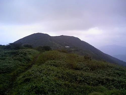 Mount Nagi Mountain, Nagi Chō19 km SE
-
 Mount Daisen Mountain, Daisen Chō44 km W
-
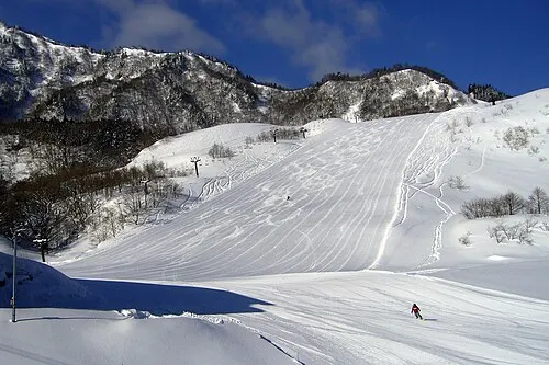 Hyōnosen-Ushiroyama-Nagisan-kokutei-kōen Natural site, Hyōgo46 km E
-
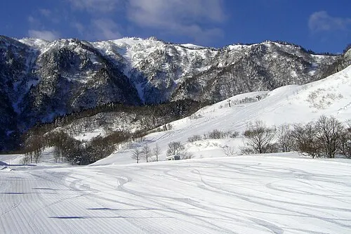 Mount Hyōno Mountain, Yabu-shi48 km E
-
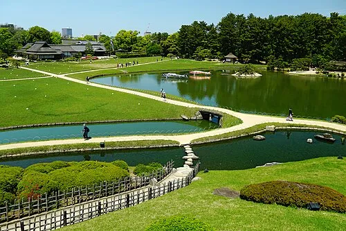 Kōrakuen Natural site, Kita-ku65 km S
-
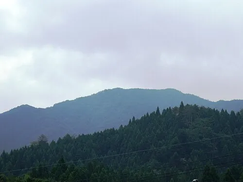 Mount Hōbutsu Mountain, Kōfu Chō48 km W
Sources & licences
Data last updated: · 2 independent sources