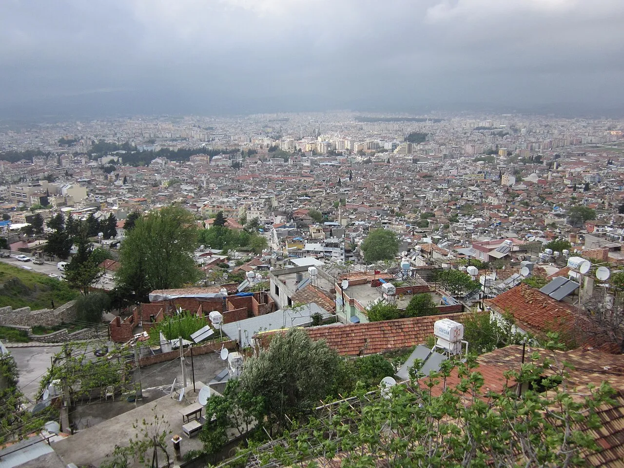
- Population
- 1,562,185
- 1.6M
- Elevation
- 1,255 m
- above sea level
- Local time
- UTC+03:00
- Europe/Istanbul · UTC+03:00
- Places inside
- 178
- listed under Hatay Province
- Airports
- HTY Hatay Airport16 km
- ALP Aleppo International Airport95 km
About Hatay Province
Hatay Province is a region. Location: Turkey. Population: 1,562,185.
Hatay Province (Turkish: Hatay ili, pronounced [ˈhataj]) is the southernmost province and metropolitan municipality of Turkey. Its area is 5,524 km2 (2,133 sq mi), and its population is 1,686,043 (2022). It is situated mostly outside Anatolia, along the eastern coast of the Levantine Sea. The province borders Syria to its south and east, the Turkish province of Adana to the northwest, Osmaniye to the north, and Gaziantep to the northeast.
Source: Wikipedia · CC BY-SA 4.0
Photos of Hatay Province
-
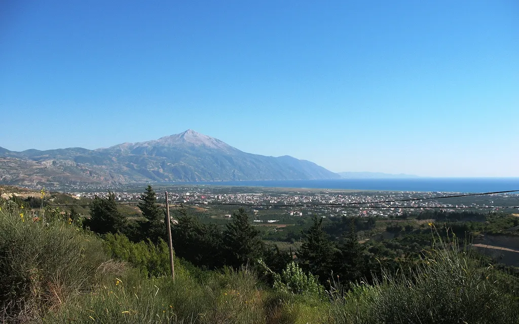
Cebeli Akra Original uploader was Anthiok at en.wikipedia · CC BY 3.0 -
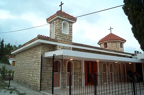
Church of the Holy Mother of God Wikimedia Commons · CC BY 2.5 -

Issus Unknown creator Unknown creator · Public domain


Travel notes for Hatay Province
From Wikivoyage
Hatay is a province in the southeastern part of Mediterranean Turkey, bordering Syria.
Understand+
The Dead Sea Fault Line runs from the Red Sea through the Dead Sea and Jordan valley to end near the northeastern tip of the Mediterranean, where it meets the East Anatolian Fault. The land west of it lies upon the African tectonic plate and east upon the Arabian plate: it's a "slip-strike" fault with both sides moving north, but the Arabian plate is overtaking by 5 mm a year. It's been active for some 50 million years, throwing up the mountain chain that sunders Hatay from the rest of Turkey, and its most recent major movement was in the earthquakes of February 2023. Hatay and adjoining parts of Southeast Anatolia were devastated and are still trying to recover.
The Ottomans captured the region in 1516 AD and it became part of their sprawling empire. From 1866 to the First World War it was governed within the vilayet - administrative region - of Aleppo, which also took in Kahramanmaraş, Gaziantep and Urfa; so it had a large Syrian population as well as Turks and Armenians. The Ottoman Empire was carved up after the war and the region was allotted to French-controlled Syria, not to the new Republic of Turkey. But there was pressure from Turkey to cede the territory, which was worth little to France, and in 1938 it briefly became the State of Hatay - nominally independent but effectively under French and Turkish joint control. That name was coined by Kemal Atatürk and referred to the ancient Hittites who for centuries ruled the Anatolian heartland, to reinforce his narrative that it was naturally a part of Turkey. Following a rigged plebiscite in 1939, Hatay indeed became a province of Turkey. Syria gained independence from France in 1946 and to this day remains officially in denial about losing Hatay, with maps denoting some kind of "special administrative region", but there was never the sort of border nonsense that formerly affected travel in Kosovo / Serbia, Moldova / Transnistria or North / South Cyprus.
Get in+
Hatay Airport (HTY IATA) is 25 km north of Antakya and 45 km southeast of Iskenderun. It has daily flights from Istanbul (both IST and SAW) and from Ankara.
By road follow toll motorway O-53, which branches off O-52 the Adana-Gaziantep motorway. It's flanked by coast highway D817, non-toll but congested and industrial. These join south of Iskenderun to snake over Belen Pass to Antalya then the border with Syria.
Buses from Istanbul run via Adana to Iskenderun and Antakya. They no longer run from Beirut, Damascus or Aleppo.
Iskenderun port was wrecked in the 2023 earthquake and resumption of ferries is nowhere in sight. From Northern Cyprus sail to Mersin.
Trains to Iskenderun are suspended because of interminable track works around Adana.
Source: Wikivoyage · CC BY-SA 4.0 · abridged
Places bordering Hatay Province
- Adana Province
- Osmaniye Province
- Gaziantep Province
Climate of Hatay Province
Best months for sightseeingBest months for sightseeing: June–September.
This month · November
Outside the best season
Day 14° · Night 4° · Rain 90 mm
Better nearby cities in November
- İskenderun · 12 km northwest22°
- Arsuz · 34 km west21°
- Antakya · 34 km south21°
- Hottest month
- August (day 26°)
- Coldest month
- January (night -1°)
- Wettest month
- December (154 mm)
- Driest month
- July (8 mm)
Bars: average monthly low and high temperature. Below: precipitation. Monthly averages for 1970–2000 at about 18 km resolution, adjusted for elevation. Highlighted months are mild and relatively dry. Source: WorldClim 2.1 (CC BY 4.0).
Show values as a table
| Month | Jan | Feb | Mar | Apr | May | Jun | Jul | Aug | Sep | Oct | Nov | Dec |
|---|---|---|---|---|---|---|---|---|---|---|---|---|
| Average high (°C) | 6° | 8° | 11° | 16° | 20° | 23° | 25° | 26° | 25° | 20° | 14° | 8° |
| Average low (°C) | -1° | -1° | 2° | 6° | 10° | 14° | 17° | 17° | 15° | 9° | 4° | 0° |
| Precipitation (mm) | 143 | 125 | 113 | 79 | 52 | 19 | 8 | 9 | 24 | 69 | 90 | 154 |
Other places to visit in this season: June July August September
How to get to Hatay Province
The nearest airport is Hatay Airport (HTY), 16 km to the south as the crow flies. For international flights: Aleppo International Airport (ALP) (95 km). The nearest large city is İskenderun, 12 km to the northwest.
Airports
- Hatay Airport (HTY) Antakya 16 kmsouth
- Aleppo International Airport (ALP) Aleppo 95 kmeast
- Çukurova International Airport (COV) Tarsus 114 kmnorthwest
Nearby large cities
- İskenderun Population: 251.7K 12 kmnorthwest
- Arsuz Population: 109.6K 34 kmwest
- Antakya Population: 399K 34 kmsouth
- Samandağ Population: 123.4K 53 kmsouthwest
- Osmaniye Population: 202.8K 64 kmnorth
Straight-line distances; road distances are longer. Airport data: OurAirports.
Places in Hatay Province
178 places- 1 Antakya İlçesi 399K
- 2 İskenderun İlçesi 251.7K
- 3 Defne 134.6K
- 4 Dörtyol İlçesi 128.9K
- 5 Kırıkhan İlçesi 121K
- 6 Samandağ 116.2K
- 7 Arsuz 109.6K
- 8 Reyhanlı İlçesi 108.1K
- 9 Altınözü İlçesi 60.3K
- 10 Hassa İlçesi 56.7K
- 11 Erzin İlçesi 41.3K
- 12 Payas 39K
- 13 Yayladağı İlçesi 36.8K
- 14 Belen İlçesi 34.4K
- 15 Kumlu İlçesi 13.3K
- 16 Uchagyz 275
Bar: population relative to the most populous place in this list.
Cities & villages6
- Aktepe Bucağı · Municipality
- Altınözü Bucağı · Municipality
- Arsuz İlçesi · Municipality
- Babatorun Bucağı · Municipality
- Belen Bucağı · Municipality
- Cerrahoğlu · Village
Mountains & nature13
- Ağoluk Pınarı · Natural site
- Aknınar Pınar · Natural site
- Alıslıtepeleri · Mountain
- Amanos Dağları · Mountain
- Amardazı Tepesi · Mountain
- Aşağı Zerkum Çeşmesi · Natural site
- Atiksuyu · Natural site
- Aynisuhan Dağı · Mountain
- Başlamış Ilıcası · Natural site
- Bitgen Dağı · Mountain
- Büyükdere · Natural site
- Çiftlarslan Tepesi · Mountain
- Davut Paşa · Mountain
Lakes, rivers & coasts25
- Aliç Dere · River
- Anba Deresi · River
- Aşağı Gökyar Deresi · River
- Avcılar Çayı · River
- Balcan Dere · River
- Balık Gölü · Lake
- Ballığın Deresi · River
- Barbarlı Dere · River
- Beyaz Çay · River
- Beyaz Çay · River
- Bölüksu · River
- Büyükkara Çay · River
- Çakal Dere · River
- Çalakgediği Deresi · River
- Çatalçam Deresi · River
- Cebeynem Deresi · River
- Çeğlanındüzü Deresi · River
- Çelikyeri Deresi · River
- Çınarlı Deresi · River
- Çoklu Dere · River
- Degirmen · River
- Değirmen Dere · River
- Değirmen Dere · River
- Değirmensuyu Deresi · River
- Deli Çay · River
Largest cities and towns
-
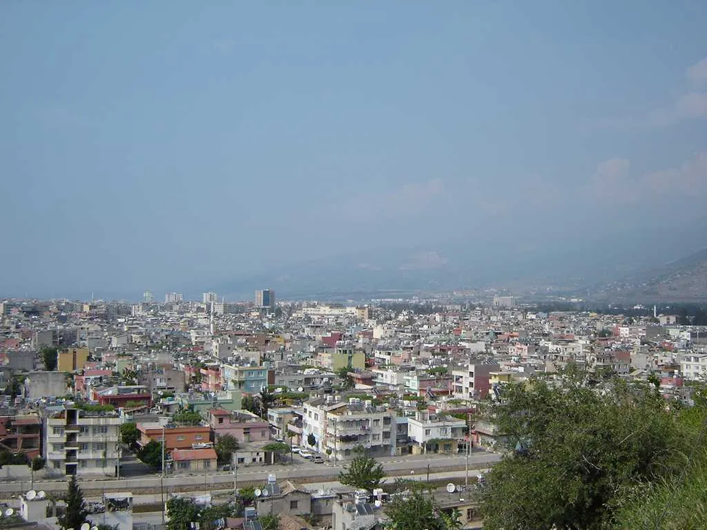 İskenderun City, İskenderun İlçesi251.7K
-
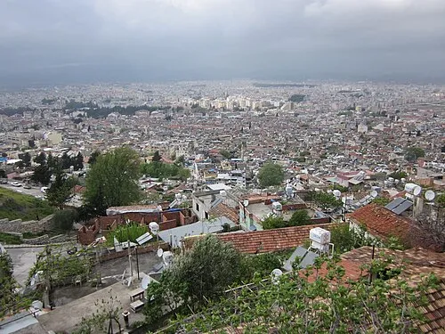 Antakya City, Antakya İlçesi399K
-
Arsuz City, Arsuz109.6K
-
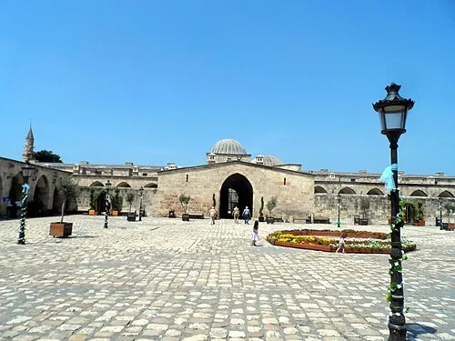 Payas City, Payas41.4K
-
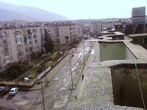 Denizciler Town, İskenderun İlçesi17.5K
-
Narlıca Town, Antakya İlçesi18.4K
-
Samandağ City, Samandağ123.4K
-
Akbez Town, Hassa İlçesi10.2K
Nature and heritage in Hatay Province
Other regions in Turkey
-
Osmaniye Province Region, Turkey82 km N
-
Kilis Province Region, Turkey84 km E
-
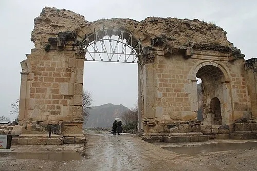 Adana Province Region, Turkey101 km NW
-
Yumurtalık District, Adana Province51 km NW
Sources & licences
Data last updated: · 2 independent sources