Gemeente Zoetermeer
Located in South Holland, The Netherlands Coordinates: 52°03′34″ N 4°29′18″ E
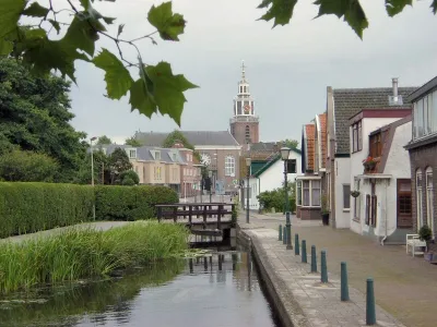
- Population
- 125,267
- 125.3K
- Elevation
- -1 m
- above sea level
- Local time
- UTC+01:00
- Europe/Amsterdam · UTC+01:00
- Places inside
- 4
- listed under Gemeente Zoetermeer
- Airports
- RTM Rotterdam The Hague Airport12 km
- AMS Amsterdam Airport Schiphol34 km
About Gemeente Zoetermeer
Gemeente Zoetermeer is a district. Location: South Holland, The Netherlands. Population: 125,267.
Zoetermeer (Dutch pronunciation: [ˌzutərˈmeːr] ) is a city in the Western Netherlands, in the province of South Holland. The municipality covers an area of 37.05 km2 (14.31 sq mi) of which 2.60 km2 (1.00 sq mi) is water. A small village until the late 1960s, it had 6,392 inhabitants in 1950. By 2023 this had grown to 126,998, making it the fourth largest population centre in the province of South Holland, after Rotterdam, The Hague and Leiden.
Source: Wikipedia · CC BY-SA 4.0
Travel notes for Gemeente Zoetermeer
From Wikivoyage
Zoetermeer is a city located in the province of South Holland in the Netherlands.
The first record of the city's existence dates back to the 11th century, when veen, a fuel for stoves, was harvested from the land.
In 1966, Zoetermeer was pointed out as an expansion area for the nearby The Hague. In 1962 the village had around 10,000 inhabitants. March 2008 brought the 120,000th inhabitant. Nowadays, the city is no longer a satellite city of The Hague but a city of its own.
Get in+
Being set up as a commuter city, Zoetermeer has a good infrastructure.
By car:
From the A12 highway, take the "Zoetermeer-Oost" or "Zoetermeer-Centrum" exit.
By train:
From The Hague you can take the sprinter train to Gouda or Utrecht. Jump out at "Zoetermeer" or "Zoetermeer-oost".
Please note: the Intercity Services do NOT call at Zoetermeer Stations.
You can also take the "randstadrail", this light rail transport system runs throughout the city. It connects Zoetermeer with the Hague, Rotterdam and Leidschendam.
Source: Wikivoyage · CC BY-SA 4.0 · abridged
Places bordering Gemeente Zoetermeer
Population of Gemeente Zoetermeer over time
| 1960 | 9,012 | |
|---|---|---|
| 1971 | 24,126 | |
| 1980 | 67,898 | |
| 1990 | 99,108 | |
| 2000 | 110,129 | |
| 2010 | 121,911 | |
| 2016 | 124,151 | |
| 2017 | 124,763 | |
| 2018 | 124,695 | |
| 2019 | 124,994 | |
| 2020 | 125,285 | |
| 2021 | 125,267 |
Censuses and official estimates; source: Wikidata.
Climate of Gemeente Zoetermeer
Best months for sightseeingBest months for sightseeing: June–August.
This month · November
A cold month
Day 10° · Night 4° · Rain 96 mm
- Hottest month
- August (day 21°)
- Coldest month
- February (night 0°)
- Wettest month
- November (96 mm)
- Driest month
- April (48 mm)
Bars: average monthly low and high temperature. Below: precipitation. Monthly averages for 1970–2000 at about 18 km resolution, adjusted for elevation. Highlighted months are mild and relatively dry. Source: WorldClim 2.1 (CC BY 4.0).
Show values as a table
| Month | Jan | Feb | Mar | Apr | May | Jun | Jul | Aug | Sep | Oct | Nov | Dec |
|---|---|---|---|---|---|---|---|---|---|---|---|---|
| Average high (°C) | 6° | 6° | 9° | 12° | 16° | 19° | 21° | 21° | 18° | 14° | 10° | 7° |
| Average low (°C) | 1° | 0° | 2° | 4° | 8° | 10° | 13° | 13° | 11° | 7° | 4° | 2° |
| Precipitation (mm) | 70 | 50 | 65 | 48 | 50 | 70 | 72 | 64 | 90 | 92 | 96 | 82 |
How to get to Gemeente Zoetermeer
The nearest airport is Rotterdam The Hague Airport (RTM), 12 km to the south as the crow flies. The nearest large city is Zoetermeer, 1 km to the southeast.
Airports
- Rotterdam The Hague Airport (RTM) Rotterdam 12 kmsouth
- Amsterdam Airport Schiphol (AMS) Amsterdam 34 kmnortheast
- Eindhoven Airport (EIN) Eindhoven 91 kmsoutheast
Nearby large cities
- Zoetermeer Population: 115.8K 1 kmsoutheast
- Leiden Population: 119.7K 11 kmnorth
- The Hague Population: 474.3K 13 kmwest
- Rotterdam Population: 868.1K 15 kmsouth
- Hoofddorp Population: 132.7K 30 kmnortheast
Straight-line distances; road distances are longer. Airport data: OurAirports.
Day trips from Gemeente Zoetermeer
Within 100 km: 181 historic and cultural sites, 98 natural sites, 108 lakes, rivers and coasts.
0–25 km22 places
- IJsselmonde Island 22 kmS
- Habana Beach Beach 19 kmW
- Eiland van Brienenoord Island 18 kmS
- Vogelpark Avifauna Attraction 14 kmNE
25–60 km96 places
- Ouddorp Beach Beach 49 kmSW
- Badstrand Rockanje Beach 37 kmSW
- Zwarte Berg Mountain 49 kmE
- Hoorneboeg Mountain 49 kmE
60–100 km269 places
- Putse Moer Lake 75 kmS
- Stappensven Lake 72 kmS
- Kleine Weel Lake 89 kmS
- Grote Weel Lake 89 kmS
Straight-line distances.
Places in Gemeente Zoetermeer
4 placesBar: population relative to the most populous place in this list.
Cities & villages1
- Zegwaart · Neighbourhood
Nearby attractions & nature
Everything nearby-
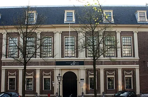 Rijksmuseum van Oudheden Museum, Leiden Municipality11 km N
-
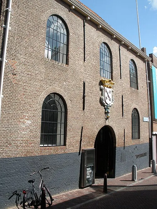 Museum Boerhaave Museum, Leiden Municipality11 km N
-
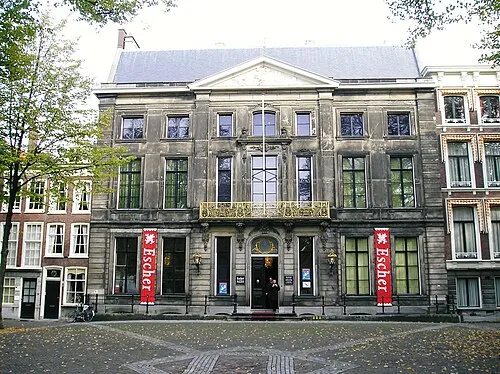 Escher Museum Museum, Gemeente Den Haag12 km W
-
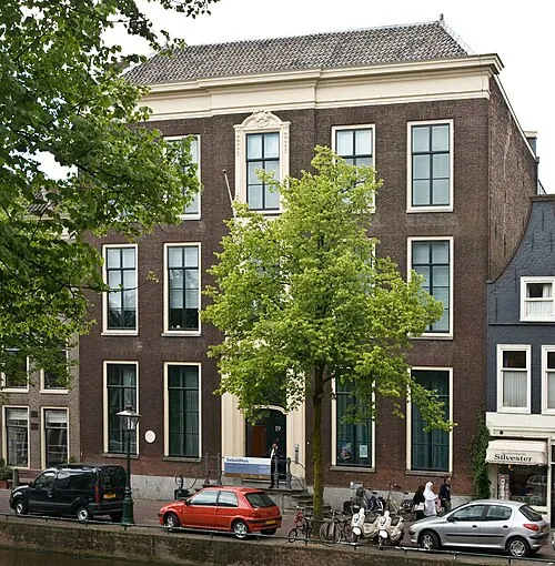 SieboldHuis Museum, Leiden Municipality11 km N
-
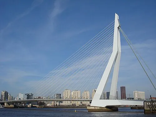 Erasmusbrug Landmark, Rotterdam Municipality17 km S
-
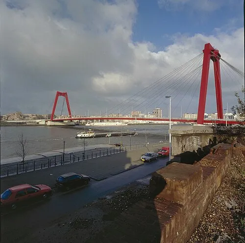 Willemsbrug Landmark, Rotterdam Municipality16 km S
Sources & licences
Data last updated: · 2 independent sources