
- Population
- 445,288
- 445.3K
- Elevation
- 1,885 m
- above sea level
- Local time
- UTC+01:00
- Europe/Paris · UTC+01:00
- Places inside
- 156
- listed under Savoy
- Airports
- CMF Chambéry Aix les Bains airport51 km
- NCY Annecy Meythet airport59 km
About Savoy
Savoy is a district. Location: Auvergne-Rhône-Alpes, France. Population: 445,288.
Savoie (French pronunciation: [savwa]; Arpitan: Savouè or Savouè-d'Avâl, lit. 'Lower Savoy'; Italian: Savoia; Occitan: Savòia; English: Savoy, ) is a department in the region of Auvergne-Rhône-Alpes, Southeastern France. Located in the French Alps, its prefecture is Chambéry. In 2023, Savoie had a population of 448,226. Together with Haute-Savoie, it is one of the two departments of the historical region of Savoy; the Duchy of Savoy was annexed by France in 1860, following the signing of the Treaty of Turin.
Source: Wikipedia · CC BY-SA 4.0
Photos of Savoy
-
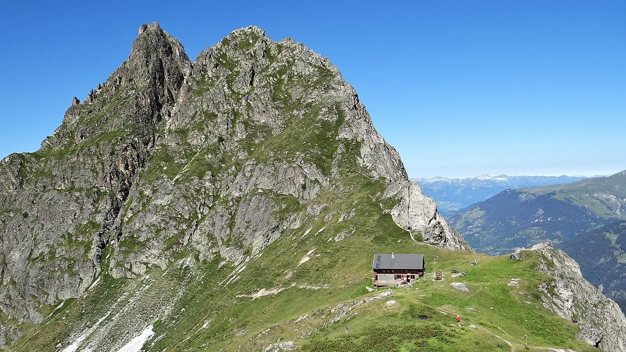
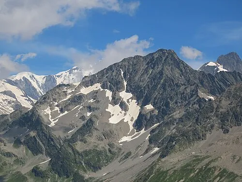
Pointe de la Vuzelle Ibex73 · CC BY-SA 4.0 -
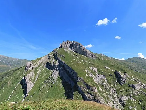
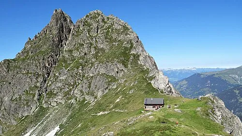
Rocher du Vent Rémih · CC BY-SA 4.0 -
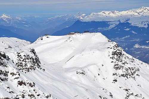
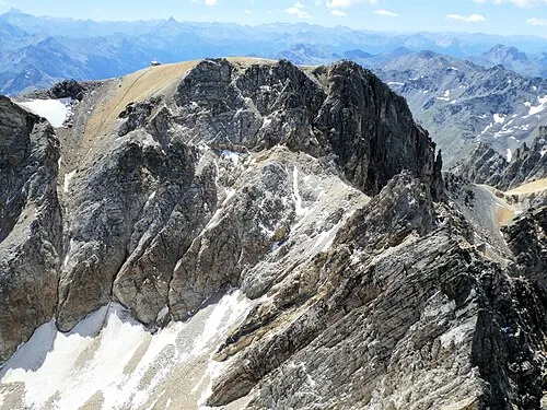
Roc des Trois Marches DimiTalen · CC0 -
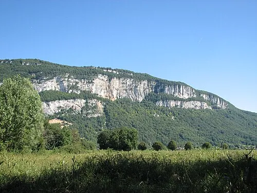
Mont Tournier Stéphane Batigne · CC BY-SA 3.0 -
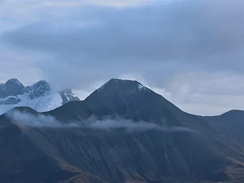
Cime des Torches Rémih · CC BY-SA 4.0


Travel notes for Savoy
From Wikivoyage
Savoie is in Auvergne-Rhône-Alpes in southeastern France. The area is known for its numerous ski resorts and contribution to French cuisine, with culinary specialities such as fondue savoyarde, tartiflette, génépi, as well as various sorts of saucisson.
Understand+
Together with Haute-Savoie, it is one of the two departments of the historical region of Savoy; the Duchy of Savoy was annexed by France in 1860, following the signature of the Treaty of Turin.
Source: Wikivoyage · CC BY-SA 4.0 · abridged
Places bordering Savoy
- Ain
- Hautes-Alpes
- Upper Savoy
- Isère
- Piedmont
- Aosta Valley
Population of Savoy over time
| 2012 | 421,105 | |
|---|---|---|
| 2015 | 428,204 | |
| 2017 | 431,174 | |
| 2018 | 433,724 | |
| 2019 | 436,434 | |
| 2020 | 439,750 | |
| 2021 | 442,468 | |
| 2022 | 445,288 | |
| 2023 | 448,226 |
Censuses and official estimates; source: Wikidata.
Climate of Savoy
Best months for sightseeingBest months for sightseeing: July–August.
This month · November
A wet month
Day 3° · Night -4° · Rain 156 mm
- Hottest month
- August (day 17°)
- Coldest month
- January (night -8°)
- Wettest month
- November (156 mm)
- Driest month
- July (85 mm)
Bars: average monthly low and high temperature. Below: precipitation. Monthly averages for 1970–2000 at about 18 km resolution, adjusted for elevation. Highlighted months are mild and relatively dry. Source: WorldClim 2.1 (CC BY 4.0).
Show values as a table
| Month | Jan | Feb | Mar | Apr | May | Jun | Jul | Aug | Sep | Oct | Nov | Dec |
|---|---|---|---|---|---|---|---|---|---|---|---|---|
| Average high (°C) | -1° | 0° | 2° | 4° | 10° | 14° | 17° | 17° | 14° | 9° | 3° | 0° |
| Average low (°C) | -8° | -8° | -6° | -3° | 1° | 4° | 7° | 8° | 5° | 1° | -4° | -6° |
| Precipitation (mm) | 137 | 131 | 118 | 117 | 124 | 109 | 85 | 95 | 105 | 134 | 156 | 149 |
How to get to Savoy
The nearest airport is Chambéry Aix les Bains airport (CMF), 51 km to the west as the crow flies. For international flights: Geneva International Airport (GVA) (90 km). The nearest large city is Grenoble, 68 km to the southwest.
Airports
- Chambéry Aix les Bains airport (CMF) Chambéry 51 kmwest
- Annecy Meythet airport (NCY) Annecy 59 kmnorthwest
- Geneva International Airport (GVA) Geneva 90 kmnorth
Nearby large cities
- Grenoble Population: 158.6K 68 kmsouthwest
- Geneva Population: 201.7K 86 kmnorth
- Lausanne Population: 139.1K 117 kmnorth
- Villeurbanne Population: 131.4K 130 kmwest
- Lyon Population: 520.8K 132 kmwest
Straight-line distances; road distances are longer. Airport data: OurAirports.
Day trips from Savoy
Within 100 km: 118 historic and cultural sites, 2,213 natural sites, 335 lakes, rivers and coasts.
0–25 km174 places
- Lac des Vaches Lake 24 kmE
- Lacs de la Tempête Lake 18 kmN
- Lac d'Amour Lake 22 kmNE
- Lac de St Guerin Lake 21 kmN
25–60 km803 places
- St Alban Plage Beach 55 kmW
- Plage de Menthon Saint Bernard Beach 50 kmNW
- Plage d'Albigny Beach 55 kmNW
- Plage St Jorioz Beach 48 kmNW
60–100 km1,689 places
- Lac Mort Lake 73 kmSW
- Lac de Fully Lake 92 kmNE
- Lac d'Émosson Lake 76 kmNE
- Lac Sup. de Fully Lake 92 kmNE
Straight-line distances.
Places in Savoy
156 placesMountains & nature26
- Glacier du Mulinet · Natural site
- Glacier du Pelve · Natural site
- Glacier du Thabor · Natural site
- Glacier du Vallonnet · Natural site
- Glacier Pers · Natural site
- Glaciers de la Vanoise · Natural site
- Glacier Supérieur du Vallonnet · Natural site
- Lancebranlette · Mountain
- Les Bauges · Mountain
- Les Trois Évêchés · Mountain
- Levanna Centrale · Mountain
- Levanna Occidentale · Mountain
- Massif de Beaufort · Mountain
- Massif de la Vanoise · Mountain
- Maurienne · Natural site
- Mont Valaisan · Mountain
- Pointe Baraccon de Chamois · Mountain
- Pointe Léchaud · Mountain
- Pointe Salvador · Mountain
- Punta Est · Mountain
- Punta Ovest · Mountain
- Punta Plattes de Chamois · Mountain
- Rocca Traversiere · Mountain
- Rochers de la Lauziére · Mountain
- Rochers de la Lauzière · Mountain
- Tarentaise · Natural site
Lakes, rivers & coasts34
- Hière · River
- Hyères · River
- Lac d'Aiguebelette · Lake
- Lac de la Girotte · Lake
- Lac de la Glière · Lake
- Lac de la Plagne · Lake
- Lac des Cerces · Lake
- Lac des Vaches · Lake
- Lac du Bourget · Lake
- Lac du Chevril · Lake
- Lac du Mont Cenis · Lake
- Lac Long · Lake
- Lac Rond · Lake
- Lacs de Chevelu · Lake
- Lacs de Forcle · Lake
- Lacs de la Tempête · Lake
- La Valloirette · River
- Le Grand Lac (Lac Bramant) · Lake
- Leysse · River
- Lindar · River
- Nantbrun · River
- Rû du Fond · River
- Ruisseau d'Aillon · River
- Ruisseau de Bissorte · River
- Ruisseau de la Raie · River
- Ruisseau de la Sachette · River
- Ruisseau de Sainte-Anne · River
- Ruisseau de Saint-François · River
- Ruisseau des Herbières · River
- Ruisseau la Rosière · River
- Ruisseau le Coisin · River
- Ruisseau le Nant Trouble · River
- Séran · River
- Sierre · River
Nature and heritage in Savoy
Nearby attractions & nature
Everything nearby-
Tour de Bérold Landmark, Auvergne-Rhône-Alpes21 km SW
-
Les Grands Moulins Mountain, Isère23 km W
Other regions in Auvergne-Rhône-Alpes
-
 Isère District, Auvergne-Rhône-Alpes61 km SW
-
 Upper Savoy District, Auvergne-Rhône-Alpes66 km N
-
 Ain District, Auvergne-Rhône-Alpes119 km NW
-
 Drôme District, Auvergne-Rhône-Alpes135 km SW
Sources & licences
Data last updated: · 2 independent sources