- Elevation
- 190 m
- above sea level
- Local time
- UTC+09:00
- Asia/Tokyo · UTC+09:00
- Airports
- OIT Oita Airport43 km
- MYJ Matsuyama Airport64 km
About Sadamisaki Peninsula
Sadamisaki Peninsula is a natural site. Location: Japan.
The Sadamisaki Peninsula (佐田岬半島, Sadamisaki-hantō) is the westernmost part of the island of Shikoku, covered by the town of Ikata, Ehime Prefecture and home to the Ikata Nuclear Power Plant. It is sometimes referred to as the "Misaki Peninsula." This landmass juts out in a straight line from close to Yawatahama Port out west-southwest along the Japan Median Tectonic Line.
Read more on Wikipedia Text: Wikipedia contributors · CC BY-SA 4.0 · shortened
Climate of Sadamisaki Peninsula
Best months for sightseeingBest months for sightseeing: May–June, September–November.
Bars: average monthly low and high temperature. Below: precipitation. Monthly averages for 1970–2000 at about 18 km resolution, adjusted for elevation. Highlighted months are mild and relatively dry. Source: WorldClim 2.1 (CC BY 4.0).
Show values as a table
| Month | Jan | Feb | Mar | Apr | May | Jun | Jul | Aug | Sep | Oct | Nov | Dec |
|---|---|---|---|---|---|---|---|---|---|---|---|---|
| Average high (°C) | 9° | 10° | 12° | 17° | 21° | 24° | 28° | 29° | 26° | 21° | 17° | 12° |
| Average low (°C) | 2° | 2° | 5° | 9° | 14° | 18° | 22° | 23° | 20° | 14° | 9° | 4° |
| Precipitation (mm) | 58 | 78 | 114 | 162 | 165 | 234 | 233 | 164 | 215 | 134 | 75 | 66 |
Other places to visit in this season: May June September October November
Airports nearest to Sadamisaki Peninsula
- Oita Airport (OIT) Oita 43 km
- Matsuyama Airport (MYJ) Matsuyama 64 km
- Iwakuni Kintaikyo Airport (IWK) Iwakuni 80 km
Straight-line distance; airports with scheduled flights only. Source: OurAirports (public domain).
Nearest towns and villages
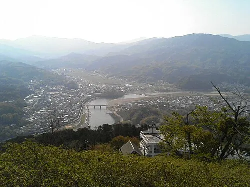
More nature in Japan
-
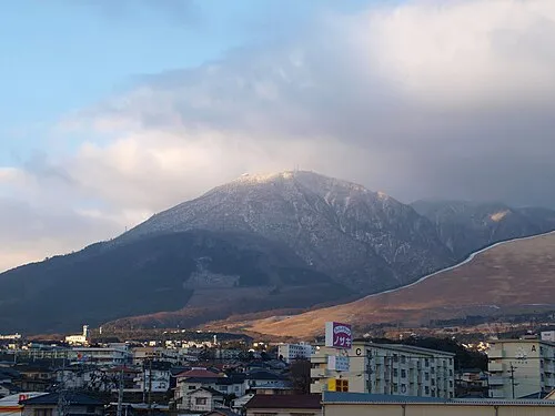 Mount Tsurumi Mountain, Beppu Shi73 km W
-
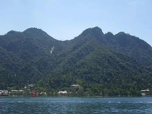 Mont Misen Mountain, Hatsukaichi-shi95 km N
-
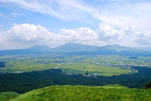 Mount Aso Mountain, Kumamoto119 km SW
-
Mount Ōmure Mountain, Kitsuki Shi68 km W
-
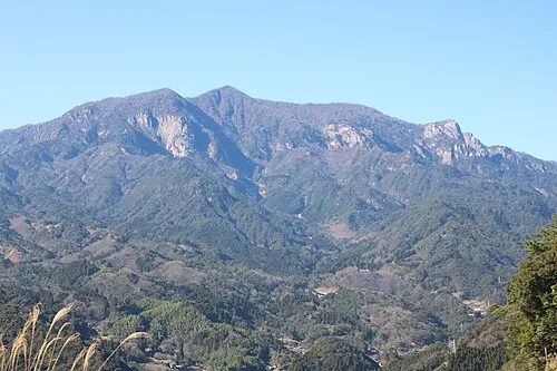 Mount Ōkueyama Mountain, Nobeoka Shi100 km SW
-
 Mount Yufu Mountain, Yufu-shi77 km W
Sources & licences
Data last updated: · 2 independent sources