- Local time
- UTC+09:00
- Asia/Tokyo · UTC+09:00
- Airports
- HND Tokyo Haneda International Airport8 km
- NRT Narita International Airport54 km
About Tōkyō Gate Bridge
Tōkyō Gate Bridge is a landmark. Location: Tokyo, Japan. The best months to visit are May–June, October. The nearest airport is Tokyo Haneda International Airport (8 km). Nearby sights include Yumenoshima Park and Hamarikyu Gardens.
Climate of Tōkyō Gate Bridge
Best months for sightseeingBest months for sightseeing: May–June, October.
Bars: average monthly low and high temperature. Below: precipitation. Monthly averages for 1970–2000 at about 18 km resolution, adjusted for elevation. Highlighted months are mild and relatively dry. Source: WorldClim 2.1 (CC BY 4.0).
Show values as a table
| Month | Jan | Feb | Mar | Apr | May | Jun | Jul | Aug | Sep | Oct | Nov | Dec |
|---|---|---|---|---|---|---|---|---|---|---|---|---|
| Average high (°C) | 10° | 10° | 13° | 18° | 23° | 25° | 28° | 30° | 27° | 21° | 17° | 12° |
| Average low (°C) | 2° | 2° | 5° | 10° | 15° | 18° | 22° | 24° | 20° | 14° | 9° | 4° |
| Precipitation (mm) | 49 | 63 | 113 | 129 | 137 | 184 | 156 | 157 | 206 | 179 | 95 | 44 |
Airports nearest to Tōkyō Gate Bridge
- Tokyo Haneda International Airport (HND) Tokyo 8 km
- Narita International Airport (NRT) Narita 54 km
- Ibaraki Airport (IBR) Omitama 83 km
Straight-line distance; airports with scheduled flights only. Source: OurAirports (public domain).
Nearby attractions & nature
Everything nearby-
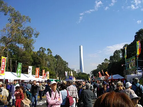 Yumenoshima Park Natural site, Koto-ku4.3 km N
-
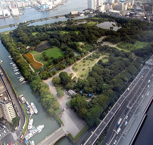 Hamarikyu Gardens Attraction, Chuo8 km NW
-
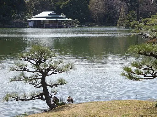 Kiyosumi Teien Attraction, Koto-ku8.2 km N
-
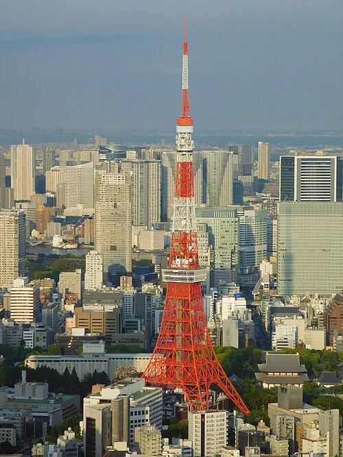 Tokyo Tower Landmark, Minato-ku9.1 km NW
-
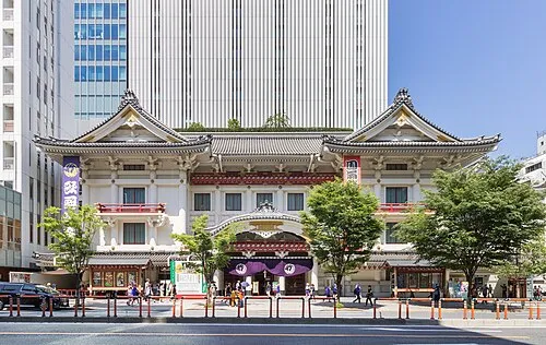 Kabuki-za 歌舞伎座 Attraction, Chuo8.4 km NW
-
 Zōjō Ji Attraction, Minato-ku8.8 km NW
-
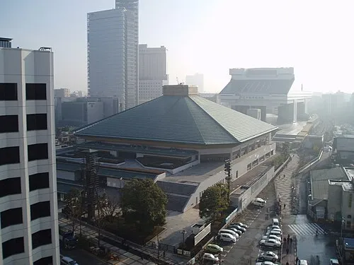 Ryōgoku Kokugikan Landmark, Sumida10 km N
-
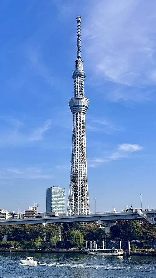 Tokyo Sky Tree Landmark, Sumida11 km N
Nearest towns and villages
More sights in Tokyo
-
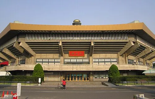 Nippon Budōkan Landmark, Chiyoda-ku12 km NW
-
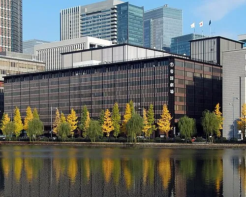 Teikoku Gekijō Attraction, Chiyoda-ku9.5 km NW
-
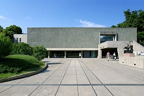 National Museum of Western Art Museum, Taito13 km N
-
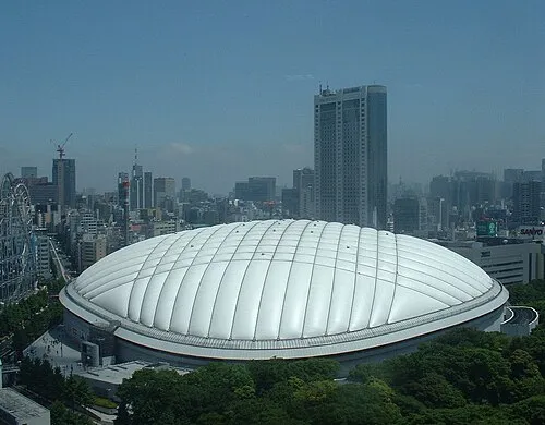 Tokyo Dome Landmark, Bunkyō-ku13 km NW
-
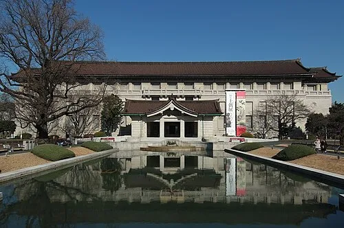 Tokyo National Museum Museum, Taito13 km N
-
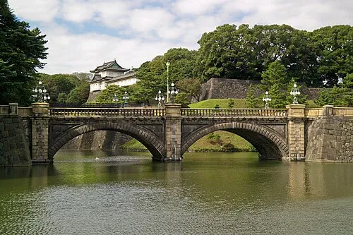 Tokyo Imperial Palace Historic site, Chiyoda-ku11 km NW
Sources & licences
Data last updated: