- Elevation
- 914 m
- above sea level
- Local time
- UTC+09:00
- Asia/Tokyo · UTC+09:00
- Places inside
- 2
- listed under Kitatsuru-gun
- Airports
- HND Tokyo Haneda International Airport83 km
- MMJ Shinshu-Matsumoto Airport99 km
About Kitatsuru-gun
Kitatsuru-gun is a district. Location: Yamanashi, Japan.
Kitatsuru (北都留郡, Kitatsuru-gun) is a rural district located in northeastern Yamanashi Prefecture, Japan. As of October 2020, the district had an estimated population of 1,214 with a density of 7.879 persons per km2. The total area was 154.1 km2.
Source: Wikipedia · CC BY-SA 4.0
At a glance
- Built
- 1878
Source: Wikidata
Climate of Kitatsuru-gun
Best months for sightseeingBest months for sightseeing: May–September.
This month · November
Outside the best season
Day 13° · Night 3° · Rain 73 mm
Better nearby cities in November
- Kofu · 34 km west17°
- Isehara · 56 km southeast18°
- Odawara · 63 km south19°
- Hottest month
- August (day 27°)
- Coldest month
- January (night -5°)
- Wettest month
- August (258 mm)
- Driest month
- December (31 mm)
Bars: average monthly low and high temperature. Below: precipitation. Monthly averages for 1970–2000 at about 18 km resolution, adjusted for elevation. Highlighted months are mild and relatively dry. Source: WorldClim 2.1 (CC BY 4.0).
Show values as a table
| Month | Jan | Feb | Mar | Apr | May | Jun | Jul | Aug | Sep | Oct | Nov | Dec |
|---|---|---|---|---|---|---|---|---|---|---|---|---|
| Average high (°C) | 6° | 6° | 9° | 15° | 19° | 22° | 25° | 27° | 23° | 17° | 13° | 9° |
| Average low (°C) | -5° | -5° | -2° | 4° | 9° | 13° | 17° | 18° | 15° | 8° | 3° | -2° |
| Precipitation (mm) | 35 | 51 | 88 | 116 | 137 | 206 | 188 | 258 | 242 | 159 | 73 | 31 |
Other places to visit in this season: May June July August September
How to get to Kitatsuru-gun
The nearest airport is Tokyo Haneda International Airport (HND), 83 km to the east as the crow flies. The nearest large city is Ōme, 29 km to the east.
Airports
- Tokyo Haneda International Airport (HND) Tokyo 83 kmeast
- Shinshu-Matsumoto Airport (MMJ) Matsumoto 99 kmnorthwest
- Oshima Airport (OIM) Izu Oshima 118 kmsouth
Nearby large cities
- Ōme Population: 133.5K 29 kmeast
- Kofu Population: 189.6K 34 kmwest
- Hachiōji Population: 579.4K 39 kmeast
- Iruma Population: 147.2K 41 kmeast
- Akishima Population: 113.9K 42 kmeast
Straight-line distances; road distances are longer. Airport data: OurAirports.
Places in Kitatsuru-gun
2 placesBar: population relative to the most populous place in this list.
Nearby attractions & nature
Everything nearby-
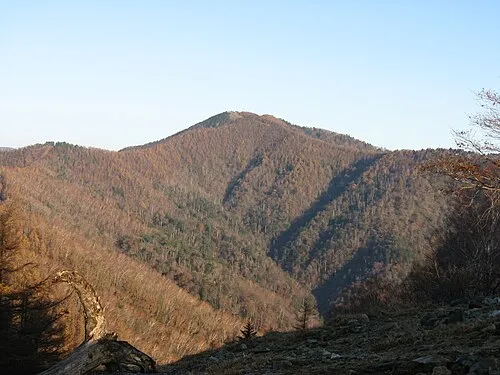 Kumotori-yama Mountain, Okutama-machi7.9 km N
-
 Okutama-ko Lake, Tokyo11 km E
-
Chichibu Tama Kai National Park Natural site, Kōshū Shi9.4 km NW
-
 Mitake-san Mountain, Ōme-shi21 km E
-
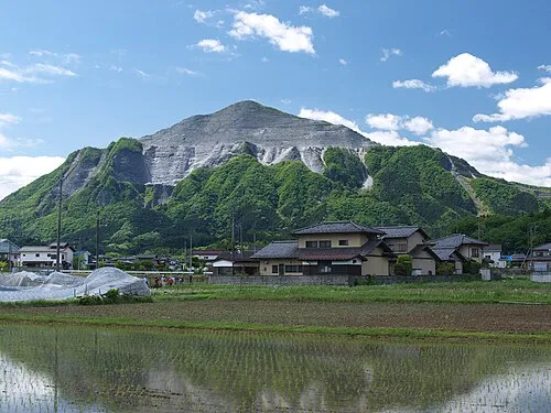 Mount Bukō Mountain, Chichibu-gun25 km NE
Sources & licences
Data last updated: · 2 independent sources