Canton of Bern
Local name: Kanton Bern
Located in Switzerland Coordinates: 46°52′21″ N 7°35′44″ E
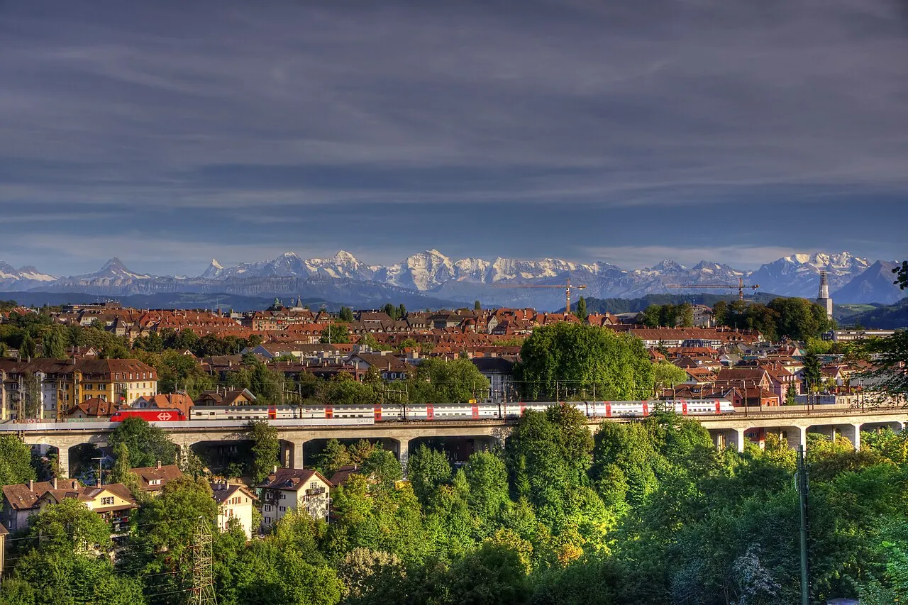
- Population
- 1,043,132
- 1M
- Elevation
- 623 m
- above sea level
- Local time
- UTC+01:00
- Europe/Zurich · UTC+01:00
- Places inside
- 201
- listed under Canton of Bern
- Airports
- BRN Bern Airport9 km
- BSL EuroAirport Basel–Mulhouse–Freiburg81 km
About Canton of Bern
Canton of Bern is a region. Location: Switzerland. Population: 1,043,132.
The canton of Bern or Berne is one of the 26 cantons forming the Swiss Confederation. Its capital city, Bern, is also the de facto capital of Switzerland. The bear is the heraldic symbol of the canton, displayed on a red-yellow background. Comprising ten districts, Bern is the second-largest canton by both surface area and population. Located in west-central Switzerland, it is surrounded by eleven cantons. It borders the cantons of Jura and Solothurn to the north.
Source: Wikipedia · CC BY-SA 4.0
Photos of Canton of Bern
-
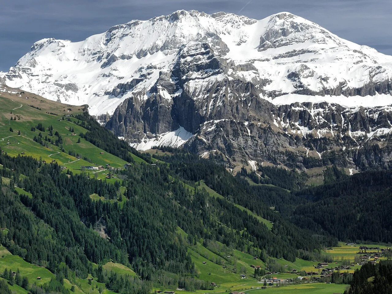
Wildstrubel Zacharie Grossen · CC BY-SA 4.0 -
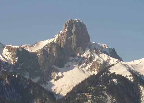
Stockhorn Zumbo at German Wikipedia · Public domain -
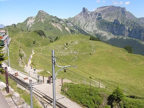
Schynige Platte Audrius Meskauskas · CC BY-SA 3.0 -
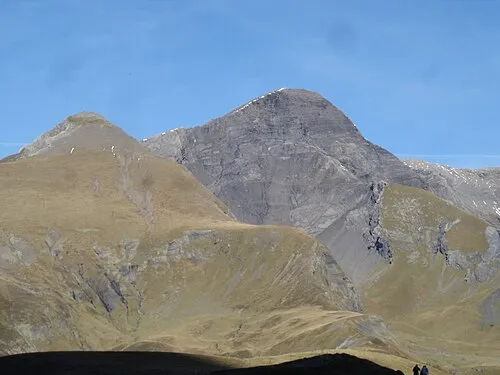
Schwarzhorn Andre Schild · CC BY 2.5 -
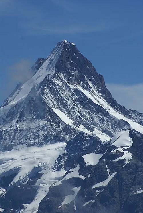
Schreckhorn Johannes-dilger at German Wikipedia · CC BY-SA 3.0


Places bordering Canton of Bern
- Canton of Jura
- Canton of Solothurn
- Canton of Vaud
- Canton of Fribourg
- Canton of Aargau
- Canton of Uri
- Canton of Nidwalden
- Canton of Obwalden
- Canton of Lucerne
- Canton of Neuchâtel
- Valais
Twin towns and sister cities of Canton of Bern
Source: Wikidata. Only places with a page on this site are shown.
Climate of Canton of Bern
Best months for sightseeingBest months for sightseeing: June–September.
This month · November
A cold month
Day 8° · Night 1° · Rain 95 mm
- Hottest month
- July (day 23°)
- Coldest month
- January (night -3°)
- Wettest month
- June (131 mm)
- Driest month
- March (74 mm)
Bars: average monthly low and high temperature. Below: precipitation. Monthly averages for 1970–2000 at about 18 km resolution, adjusted for elevation. Highlighted months are mild and relatively dry. Source: WorldClim 2.1 (CC BY 4.0).
Show values as a table
| Month | Jan | Feb | Mar | Apr | May | Jun | Jul | Aug | Sep | Oct | Nov | Dec |
|---|---|---|---|---|---|---|---|---|---|---|---|---|
| Average high (°C) | 4° | 6° | 10° | 13° | 18° | 21° | 23° | 23° | 19° | 14° | 8° | 4° |
| Average low (°C) | -3° | -2° | 0° | 3° | 7° | 10° | 12° | 12° | 9° | 5° | 1° | -2° |
| Precipitation (mm) | 75 | 78 | 74 | 89 | 111 | 131 | 115 | 115 | 91 | 91 | 95 | 86 |
Other places to visit in this season: June July August September
How to get to Canton of Bern
The nearest airport is Bern Airport (BRN), 9 km to the northwest as the crow flies. For international flights: EuroAirport Basel–Mulhouse–Freiburg (BSL) (81 km). The nearest large city is Bern, 14 km to the northwest.
Airports
- Bern Airport (BRN) Bern 9 kmnorthwest
- EuroAirport Basel–Mulhouse–Freiburg (BSL) Bâle / Mulhouse 81 kmnorth
- Zürich Airport (ZRH) Zurich 97 kmnortheast
Nearby large cities
- Bern Population: 121.6K 14 kmnorthwest
- Basel Population: 177.6K 76 kmnorth
- Lausanne Population: 139.1K 84 kmsouthwest
- Zurich Population: 415.4K 91 kmnortheast
- Mulhouse Population: 111.4K 100 kmnorth
Straight-line distances; road distances are longer. Airport data: OurAirports.
Places in Canton of Bern
201 placesCities & villages17
- Vorderdettige · Neighbourhood
- Vorderexe · Neighbourhood
- Vordergiebel · Neighbourhood
- Vordergraben · Neighbourhood
- Vorderi Richisalp · Neighbourhood
- Vorderkammershaus · Neighbourhood
- Vorderlüdern · Neighbourhood
- Vordermutten · Neighbourhood
- Vorderriegenen · Neighbourhood
- Vorderschnydersgrabe · Neighbourhood
- Vorderschwendi · Neighbourhood
- Vordersenggen · Neighbourhood
- Vordersteinmöösli · Neighbourhood
- Vorderwingey · Neighbourhood
- Vorderwyttenbach · Neighbourhood
- Waldriedweideni · Neighbourhood
- Wohlengraben · Neighbourhood
Mountains & nature4
- Urbachtal · Natural site
- Vallon de Saint-Imier · Natural site
- Wetterhörner · Mountain
- Wirzelegg · Natural site
Largest cities and towns
-
Berne Municipality, Bern-Mittelland District134.6K
-
Biel/Bienne Municipality, Biel/Bienne Administrative District55.6K
-
Thun Municipality, Thun District43.6K
-
Köniz Municipality, Bern-Mittelland District42K
-
Bern City, Berne121.6K
-
Langenthal Municipality, Oberaargau16.1K
-
Steffisburg Municipality, Thun District15.9K
-
Belp Municipality, Bern-Mittelland District11.6K
Nature and heritage in Canton of Bern
Other regions in Switzerland
-
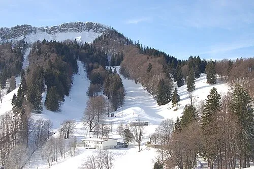 Canton of Solothurn Region, Switzerland38 km N
-
Canton of Fribourg Region, Switzerland42 km SW
-
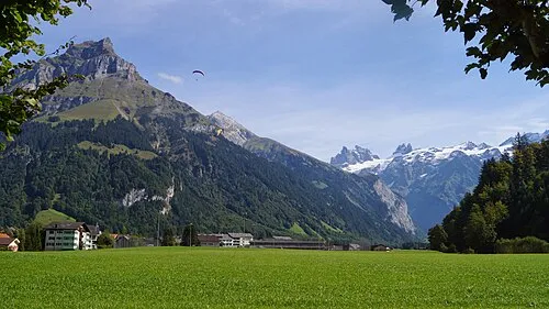 Canton of Obwalden Region, Switzerland47 km E
-
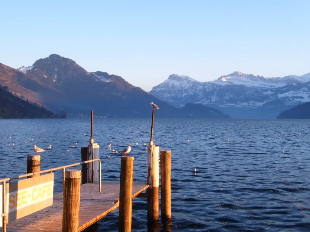 Canton of Lucerne Region, Switzerland54 km NE
-
Bern-Mittelland District District, Canton of Bern9.9 km NW
-
Thun District District, Canton of Bern12 km S
Sources & licences
Data last updated: · 2 independent sources