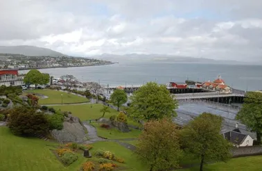
- Population
- 87,690
- 87.7K
- Elevation
- 2 m
- above sea level
- Local time
- UTC+00:00
- Europe/London · UTC+00:00
- Places inside
- 2,754
- listed under Argyll and Bute
- Airports
- ILY Islay Airport65 km
- GLA Glasgow Airport65 km
About Argyll and Bute
Argyll and Bute is a district. Location: Scotland, United Kingdom. Population: 87,690. The best months to visit are June–August. The nearest airport is Islay Airport (65 km). Nearby sights include Barmore Island and Kilfinan Burn.
Photos of Argyll and Bute
-
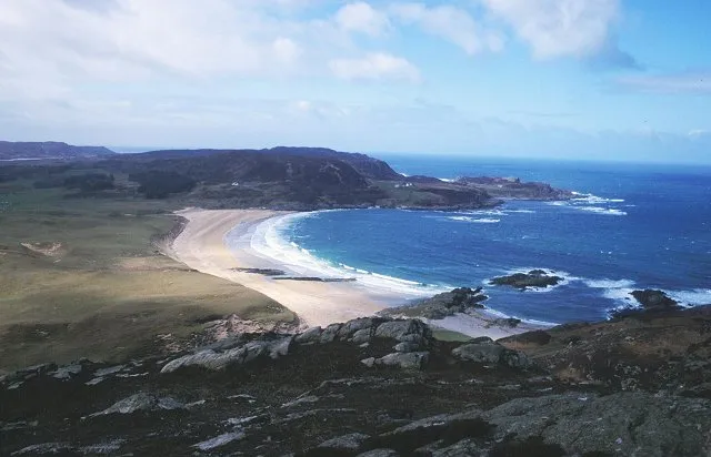
Colonsay Richard Webb · CC BY-SA 2.0 -
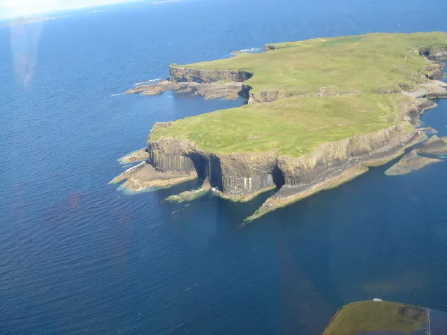
Staffa Keith Boardman · CC BY-SA 2.0 -
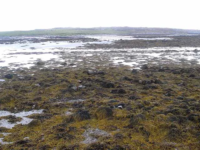
Soa Island Oliver Dixon · CC BY-SA 2.0 -
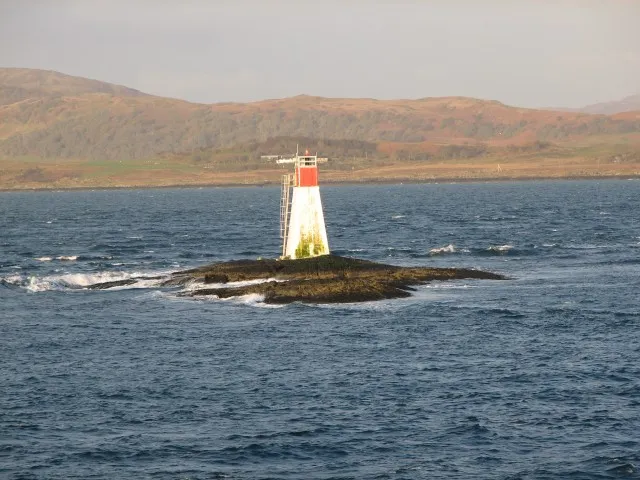
Lady’s Rock Callum Black · CC BY-SA 2.0 -
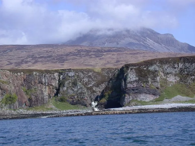
Inner Hebrides Tony Page · CC BY-SA 2.0


Climate of Argyll and Bute
Best months for sightseeingBest months for sightseeing: June–August.
This month · November
A wet month
Day 10° · Night 6° · Rain 187 mm
- Hottest month
- July (day 18°)
- Coldest month
- February (night 3°)
- Wettest month
- January (204 mm)
- Driest month
- May (82 mm)
Bars: average monthly low and high temperature. Below: precipitation. Monthly averages for 1970–2000 at about 18 km resolution, adjusted for elevation. Highlighted months are mild and relatively dry. Source: WorldClim 2.1 (CC BY 4.0).
Show values as a table
| Month | Jan | Feb | Mar | Apr | May | Jun | Jul | Aug | Sep | Oct | Nov | Dec |
|---|---|---|---|---|---|---|---|---|---|---|---|---|
| Average high (°C) | 8° | 8° | 9° | 12° | 15° | 17° | 18° | 18° | 16° | 13° | 10° | 8° |
| Average low (°C) | 4° | 3° | 4° | 5° | 8° | 10° | 12° | 12° | 10° | 8° | 6° | 4° |
| Precipitation (mm) | 204 | 126 | 154 | 95 | 82 | 89 | 108 | 127 | 168 | 184 | 187 | 191 |
How to get to Argyll and Bute
The nearest airport is Islay Airport (ILY), 65 km to the southwest as the crow flies. For international flights: Glasgow Airport (GLA) (65 km). The nearest large city is Glasgow, 76 km to the east.
Airports
- Islay Airport (ILY) Isle of Islay, Argyll and Bute 65 kmsouthwest
- Glasgow Airport (GLA) Glasgow 65 kmeast
- Campbeltown Airport (CAL) Campbeltown 69 kmsouth
Nearby large cities
- Glasgow Population: 626.4K 76 kmeast
- Edinburgh Population: 515K 140 kmeast
- Dundee Population: 148.2K 160 kmeast
- Belfast Population: 348K 163 kmsouth
- Aberdeen Population: 198.6K 239 kmnortheast
Straight-line distances; road distances are longer. Airport data: OurAirports.
Day trips from Argyll and Bute
Within 100 km: 106 historic and cultural sites, 2,898 natural sites, 1,234 lakes, rivers and coasts.
0–25 km551 places
- Scarba Island 24 kmNW
- Cala Island 11 kmW
- Shuna Island 22 kmNW
- Eilean Mòr Island 22 kmNW
25–60 km1,585 places
- Isle of Arran Island 50 kmS
- Great Cumbrae Island Island 44 kmSE
- Colonsay Island 49 kmW
- Hunterston Sands Beach 48 kmSE
60–100 km2,102 places
- Ayr Beach Beach 81 kmSE
- Troon Beach Beach 74 kmSE
- Oronsay Island 76 kmNW
- Ulva Island 70 kmNW
Straight-line distances.
Places in Argyll and Bute
2,754 placesCities & villages10
- Shandon · Village
- Skeroblingarry · Village
- Skipness · Village
- Slockavullin · Village
- Sorisdale · Village
- Soroba · Neighbourhood
- South Crossaig · Village
- South Cuan · Village
- Southend · Village
- South Tullich · Village
Mountains & nature38
- Sgorach Mor · Mountain
- Sgornach Ruadh · Mountain
- Sgorr Bhogachain · Mountain
- Sgorr Mhor · Mountain
- Sgorr Mhor · Mountain
- Sgorr nam Faoileann · Mountain
- Sgreadan Hill · Mountain
- Sgreadan Hill NE Top · Mountain
- Sgulan Beag · Mountain
- Sgulan Mor · Mountain
- Sgurr a' Choinnich · Mountain
- Sgurr Dearg · Mountain
- Shian Bay · Natural site
- Shian Bay · Natural site
- Shierdrim Hill · Mountain
- Sidhean Buidhe · Mountain
- Sidhean Reidh · Mountain
- Sidhean Riabhach · Mountain
- Sidhean Sluaigh · Mountain
- Sidh Mor · Mountain
- Sidh Mor East Top · Mountain
- Sight Hill · Mountain
- Silver Craigs · Mountain
- Sìthean Riabhach · Mountain
- Skeroblin Cruach · Mountain
- Skeroblin Hill · Mountain
- Skerry Fell · Mountain
- Skerry Fell Fad · Mountain
- Sliabh Gaoil · Mountain
- Sliabh Mor · Mountain
- Sligrachan Hill · Mountain
- Soa Island NE Top · Mountain
- Soroba Hill · Mountain
- Speinne Beag · Mountain
- Speinne Mor · Mountain
- Sron a' Ghearrain · Mountain
- Sron Albannach · Mountain
- Sron an Isean · Mountain
Lakes, rivers & coasts10
- Sheep Island · Island
- Shian Island · Island
- Shuna · Island
- Skeroblin Loch · Lake
- Skipness River · River
- Soa · Island
- Soa Island · Island
- Soa Island · Island
- Soa Island · Island
- Socach Burn · River
Heritage & sights2
- Skerryvore Lighthouse · Landmark
- Springbank Evangelical Church · Attraction
Nearby attractions & nature
Everything nearby-
Barmore Island Natural site, Scotland17 km S
-
Kilfinan Burn River, Scotland12 km SE
-
Castle Sween Historic site, Scotland17 km SW
-
Corr Eilean Island, Scotland22 km SW
-
Tamhnich Burn River, Scotland17 km E
-
River Ruel River, Scotland18 km SE
Other regions in Scotland
-
West Dunbartonshire District, Scotland57 km E
-
 Renfrewshire District, Scotland63 km E
-
 North Ayrshire District, Scotland58 km SE
-
North Lanarkshire District, Scotland97 km E
-
 East Dunbartonshire District, Scotland78 km E
-
 East Renfrewshire District, Scotland76 km SE
Sources & licences
Data last updated: