Trentino-Alto Adige
Local name: Trentin-Südtirol
Located in Italy Coordinates: 46°30′00″ N 11°20′00″ E

- Population
- 1,071,636
- 1.1M
- Elevation
- 257 m
- above sea level
- Local time
- UTC+01:00
- Europe/Rome · UTC+01:00
- Places inside
- 81
- listed under Trentino-Alto Adige
- Airports
- BZO Bolzano Airport5 km
- INN Innsbruck Airport85 km
About Trentino-Alto Adige
Trentino-Alto Adige is a region. Location: Italy. Population: 1,071,636.
Trentino-Alto Adige/Südtirol (Italian: Trentino-Alto Adige [trenˈtiːno ˈalto ˈaːdidʒe]; Austrian German: Trentino-Südtirol; Ladin: Trentin-Südtirol), often known in English as Trentino-South Tyrol or by its Italian name Trentino-Alto Adige, is an autonomous region of Italy, located in the northern part of the country.
Source: Wikipedia · CC BY-SA 4.0
Photos of Trentino-Alto Adige
-

Denis Faustinelli · CC BY 3.0 -

Denis Faustinelli · CC BY 3.0 -

Cristina castellani · Public domain -

Peter A. Andersen · CC0 -

Martina Debiasi · CC BY-SA 4.0


Travel notes for Trentino-Alto Adige
From Wikivoyage
Trentino-Alto Adige is a diverse region in Northeast Italy.The northern predominantly German-speaking part has significant Italian and Ladin minorities, while the southern Italian-speaking part has a small German minority.
Understand+
During the Middle Ages, this region was divided between the Prince-Bishop of Trento and the Prince-Bishop of Brixen. Both principalities were under the sphere of influence of the Counts of Tyrol (and later, the Austrian Empire). To the south, they bordered with the Venetian Republic, which had influence on the southernmost valleys.
After the collapse of the Venetian Republic, and the Napoleonic Wars, most of northern Italy fell under Austrian Empire rule. This region became part of Tirol. Italian independence wars in the last half of the 19th century claimed back from Austria the former Venetian Republic. Among the Italian-speaking people dwelling in the southernmost valleys of Tirol grew a movement to throw off Austrian rule, and join the new Italian state. The need to "liberate" these Italian lands was used by Italy to enter World War I against Austria.
After the war was lost by Austria, the portion of Tirol south of the Brenner Pass was annexed by Italy and renamed Trentino-Alto Adige, Trentino being the part with Italian-speaking population. The German-speaking population of Alto-Adige were not given a recognized minority status. Indeed, as Italy fell under nationalistic fascist rule, the government started an effort to "italianize" Alto-Adige. Use of German in schools and in official documents was forbidden, the official names of places was changed to be Italian-sounding, and Italians were moved from other parts of Italy to "colonize" the region.
As a result of the pact between Nazi Germany and Fascist Italy, the Germans in the regions were given the option to relocate to Germany. Only a few accepted, and most of them returned to their homeland after the war. During the end of the war, the region was briefly annexed to the Third Reich.
After World War II, the region remained part of Italy; the two provinces of Trentino and South Tyrol were granted large administrative and legislative autonomy.
Get in+
The nearest airports are Bolzano, Innsbruck, Verona, Munich, and Milan.
Source: Wikivoyage · CC BY-SA 4.0 · abridged
Places bordering Trentino-Alto Adige
- Grisons
- Tyrol
- State of Salzburg
- Veneto
- Lombardy
Climate of Trentino-Alto Adige
Best months for sightseeingBest months for sightseeing: May–June, September.
This month · November
A cold month
Day 11° · Night 3° · Rain 51 mm
- Hottest month
- July (day 28°)
- Coldest month
- January (night 0°)
- Wettest month
- June (81 mm)
- Driest month
- February (26 mm)
Bars: average monthly low and high temperature. Below: precipitation. Monthly averages for 1970–2000 at about 18 km resolution, adjusted for elevation. Highlighted months are mild and relatively dry. Source: WorldClim 2.1 (CC BY 4.0).
Show values as a table
| Month | Jan | Feb | Mar | Apr | May | Jun | Jul | Aug | Sep | Oct | Nov | Dec |
|---|---|---|---|---|---|---|---|---|---|---|---|---|
| Average high (°C) | 7° | 9° | 14° | 17° | 22° | 25° | 28° | 27° | 23° | 18° | 11° | 7° |
| Average low (°C) | 0° | 1° | 3° | 6° | 11° | 15° | 17° | 17° | 14° | 9° | 3° | 1° |
| Precipitation (mm) | 32 | 26 | 36 | 53 | 68 | 81 | 80 | 77 | 67 | 79 | 51 | 35 |
How to get to Trentino-Alto Adige
The nearest airport is Bolzano Airport (BZO), 5 km to the south as the crow flies. For international flights: Innsbruck Airport (INN) (85 km). The nearest large city is Innsbruck, 85 km to the north.
Airports
- Bolzano Airport (BZO) Bolzano (BZ) 5 kmsouth
- Innsbruck Airport (INN) Innsbruck 85 kmnorth
- Treviso Airport (TSF) Treviso (TV) 116 kmsoutheast
Nearby large cities
- Innsbruck Population: 132.5K 85 kmnorth
- Munich Population: 1.5M 183 kmnorth
- Salzburg Population: 157.2K 194 kmnortheast
- Augsburg Population: 301.1K 211 kmnorth
- Winterthur Population: 111.8K 228 kmnorthwest
Straight-line distances; road distances are longer. Airport data: OurAirports.
Places in Trentino-Alto Adige
81 placesMountains & nature21
- Torre di Alleghe · Mountain
- Torre di Val Grande · Mountain
- Torre Sabbioni · Mountain
- Tre Cime di Lavaredo Occidentale · Mountain
- Tre Cime di Lavaredo Piccola · Mountain
- Val del Rio · Natural site
- Val di Foresta · Natural site
- Val di Martello · Natural site
- Val di Valles · Natural site
- Val di Vizze · Natural site
- Val Genova · Natural site
- Val Lagarina · Natural site
- Valle Campo di Dentro · Natural site
- Valle della Rienza · Natural site
- Valle di Anterselva · Natural site
- Valle di Landro · Natural site
- Valle di Túres · Natural site
- Valle Rendena · Natural site
- Valle San Silvestro · Natural site
- Valle Sarentina · Natural site
- Val Sugana · Natural site
Largest cities and towns
-
Bolzano/Bozen Municipality, South Tyrol107.7K
-
Trento Municipality, Province of Trente118.3K
-
Rovereto Municipality, Province of Trente40K
-
Merano Municipality, South Tyrol40.9K
-
Pergine Valsugana Municipality, Province of Trente21.5K
-
Arco Municipality, Province of Trente17.8K
-
Riva del Garda Municipality, Province of Trente17.5K
-
Bressanone/Brixen Municipality, South Tyrol22.4K
Nature and heritage in Trentino-Alto Adige
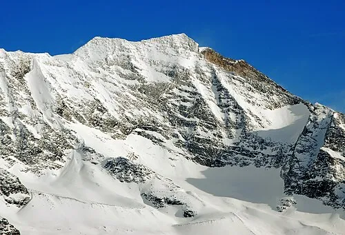
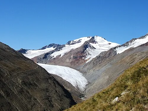
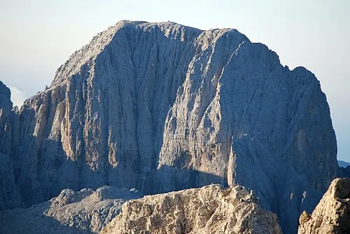
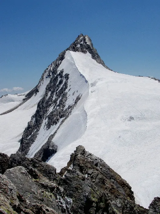
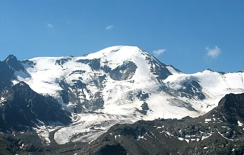
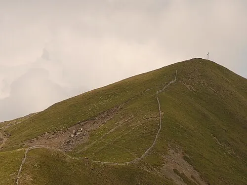
Other regions in Italy
-
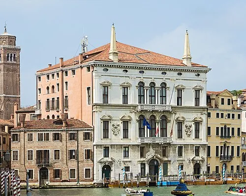 Veneto Region, Italy116 km S
-
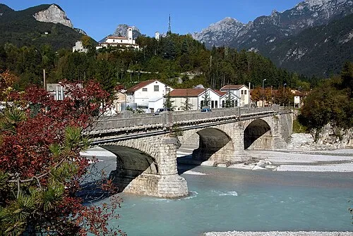 Friuli Venezia Giulia Region, Italy140 km SE
-
South Tyrol District, Trentino-Alto Adige27 km NE
-
Province of Trente District, Trentino-Alto Adige51 km S
-
Province of Belluno District, Veneto68 km SE
-
Province of Bergamo District, Lombardy140 km SW
Sources & licences
Data last updated: · 2 independent sources