Gemeente Waddinxveen
Located in South Holland, The Netherlands Coordinates: 52°02′33″ N 4°38′41″ E
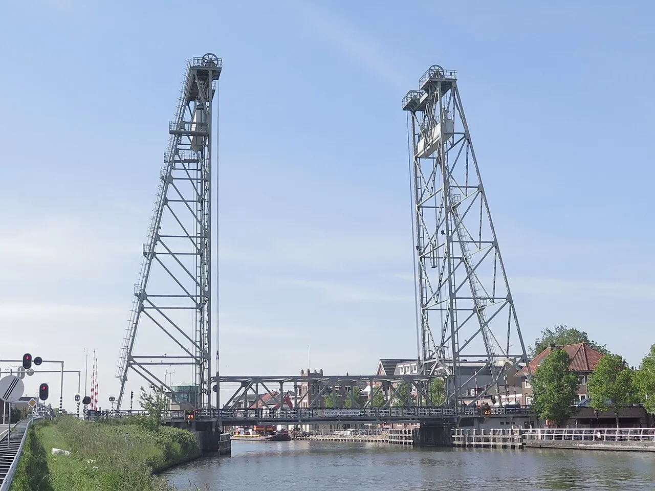
- Population
- 30,479
- 30.5K
- Elevation
- -5 m
- above sea level
- Local time
- UTC+01:00
- Europe/Amsterdam · UTC+01:00
- Places inside
- 4
- listed under Gemeente Waddinxveen
- Airports
- RTM Rotterdam The Hague Airport17 km
- AMS Amsterdam Airport Schiphol31 km
About Gemeente Waddinxveen
Gemeente Waddinxveen is a district. Location: South Holland, The Netherlands. Population: 30,479.
Waddinxveen (Dutch pronunciation: [ˌʋɑdɪŋksˈfeːn] ) is a town and municipality along the Gouwe river in the western Netherlands in the province of South Holland near Gouda. The municipality had a population of 30,479 in 2021 and covers an area of 29.40 km2 (11.35 sq mi) of which 1.63 km2 (0.63 sq mi) is water. A small piece of artwork named De Vergeten Plek (Dutch for 'The Forgotten Place') marks the lowest point on the Dutch polders, 7.01 meters below Amsterdam Ordnance Datum.
Source: Wikipedia · CC BY-SA 4.0
Population of Gemeente Waddinxveen over time
| 1971 | 19,830 | |
|---|---|---|
| 1980 | 21,792 | |
| 1990 | 25,195 | |
| 2000 | 26,843 | |
| 2010 | 25,337 | |
| 2016 | 26,066 | |
| 2017 | 26,536 | |
| 2018 | 27,578 | |
| 2019 | 28,316 | |
| 2020 | 29,291 | |
| 2021 | 30,479 | |
| 2022 | 31,342 |
Censuses and official estimates; source: Wikidata.
Climate of Gemeente Waddinxveen
Best months for sightseeingBest months for sightseeing: June–August.
This month · November
A cold month
Day 10° · Night 4° · Rain 93 mm
- Hottest month
- August (day 22°)
- Coldest month
- February (night 0°)
- Wettest month
- November (93 mm)
- Driest month
- April (47 mm)
Bars: average monthly low and high temperature. Below: precipitation. Monthly averages for 1970–2000 at about 18 km resolution, adjusted for elevation. Highlighted months are mild and relatively dry. Source: WorldClim 2.1 (CC BY 4.0).
Show values as a table
| Month | Jan | Feb | Mar | Apr | May | Jun | Jul | Aug | Sep | Oct | Nov | Dec |
|---|---|---|---|---|---|---|---|---|---|---|---|---|
| Average high (°C) | 6° | 6° | 9° | 12° | 17° | 19° | 21° | 22° | 18° | 14° | 10° | 7° |
| Average low (°C) | 1° | 0° | 2° | 4° | 7° | 10° | 12° | 12° | 10° | 7° | 4° | 2° |
| Precipitation (mm) | 70 | 51 | 66 | 47 | 51 | 71 | 72 | 63 | 87 | 89 | 93 | 82 |
How to get to Gemeente Waddinxveen
The nearest airport is Rotterdam The Hague Airport (RTM), 17 km to the southwest as the crow flies. The nearest large city is Zoetermeer, 11 km to the west.
Airports
- Rotterdam The Hague Airport (RTM) Rotterdam 17 kmsouthwest
- Amsterdam Airport Schiphol (AMS) Amsterdam 31 kmnorth
- Eindhoven Airport (EIN) Eindhoven 83 kmsoutheast
Nearby large cities
- Zoetermeer Population: 115.8K 11 kmwest
- Leiden Population: 119.7K 17 kmnorthwest
- Rotterdam Population: 868.1K 18 kmsouthwest
- The Hague Population: 474.3K 24 kmwest
- Dordrecht Population: 119.3K 26 kmsouth
Straight-line distances; road distances are longer. Airport data: OurAirports.
Places in Gemeente Waddinxveen
4 placesBar: population relative to the most populous place in this list.
Nearby attractions & nature
Everything nearby-
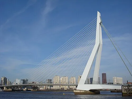 Erasmusbrug Landmark, Rotterdam Municipality18 km SW
-
IJsselmonde Island, South Holland21 km SW
-
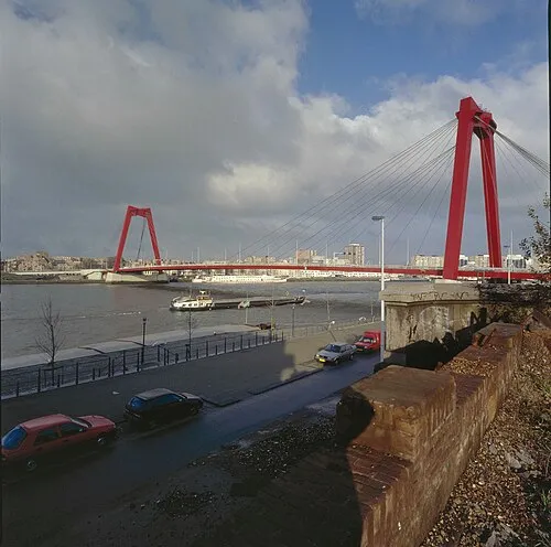 Willemsbrug Landmark, Rotterdam Municipality17 km SW
-
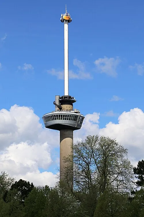 Euromast Landmark, Rotterdam Municipality20 km SW
-
 Vogelpark Avifauna Attraction, Gemeente Alphen aan den Rijn11 km N
-
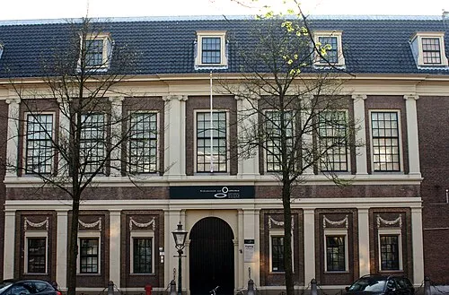 Rijksmuseum van Oudheden Museum, Leiden Municipality17 km NW
Sources & licences
Data last updated: · 2 independent sources