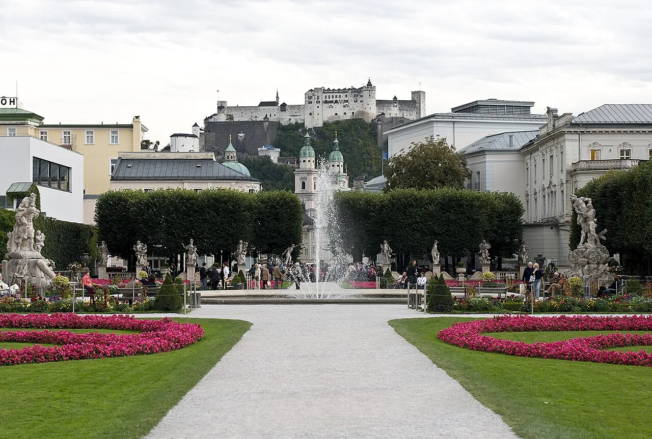
- Population
- 562,606
- 562.6K
- Elevation
- 827 m
- above sea level
- Local time
- UTC+01:00
- Europe/Vienna · UTC+01:00
- Places inside
- 421
- listed under State of Salzburg
- Airports
- SZG Salzburg Airport46 km
- LNZ Linz-Hörsching Airport115 km
About State of Salzburg
State of Salzburg is a region. Location: Austria. Population: 562,606.
Salzburg (Austrian German: [ˈsaltsbʊrɡ], Northern German: [ˈzaltsbʊʁk] ; Bavarian: Soizbuag, also known as Salzburgerland) is a state (Land) of Austria bordering Germany and Italy. In German, its official name is Land Salzburg, to distinguish it from its eponymous capital Salzburg. The state of Salzburg is closely tied to the former Prince-Archbishopric of Salzburg, an ecclesiastical principality of the Holy Roman Empire that existed for centuries until its secularization in 1803.
Source: Wikipedia · CC BY-SA 4.0
Photos of State of Salzburg
-
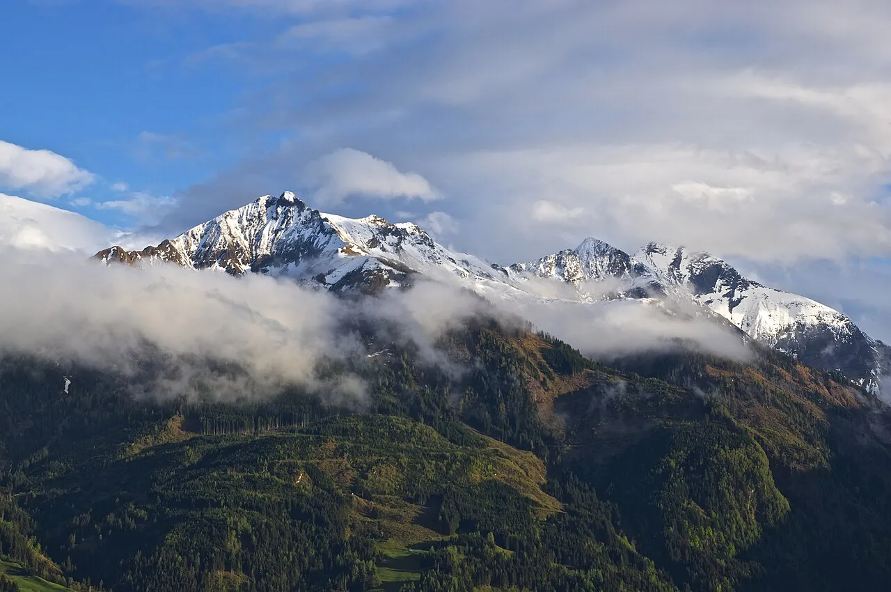
Rettenzink Ben Tatlow bentatlow · CC0 -
Hohe Kammer Wald1siedel · CC BY-SA 3.0 -
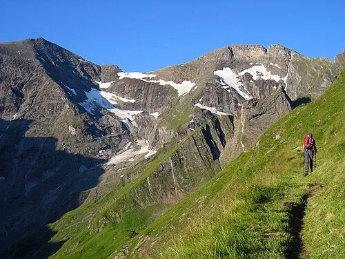
Kleiner Tenn Tigerente · CC BY-SA 4.0 -
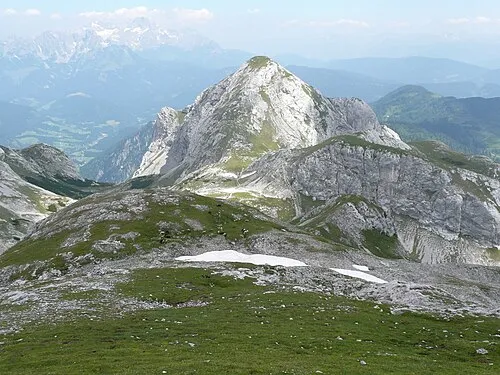
Tauernkogel Bergfexklaus · CC BY-SA 3.0 -
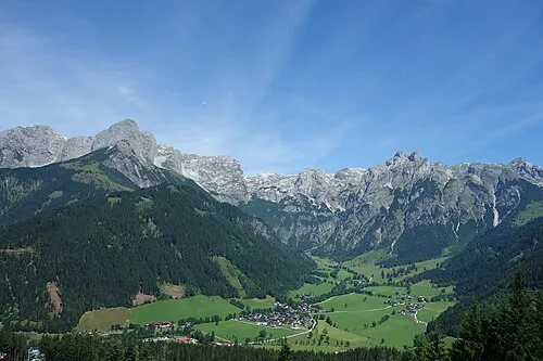
Hirschkogel Vysotsky · CC BY-SA 4.0


Travel notes for State of Salzburg
From Wikivoyage
Salzburg (German: Salzburg or Salzburgerland) is one of the smaller states of Austria. It has an area of about 7,100 km² and there are 500,000 people. Most of the area is covered by the Alps and only the northern part is flat. There you can find the largest city and capital of the state, Salzburg. The most important forms of income are tourism and agriculture. The arts are an important part of the Salzburger tradition: home to Mozart, the annual Salzburg Festival, and the mystery play Jedermann (Everyman). Salzburg state also shares much of its rural regional culture with neighboring Bavaria and Tyrol. This makes it a wonderful place to experience both the high culture of the Mozart era and the true alpine Austrian culture at its purest.
Understand+
Salzburg, also known as Salzburgerland, is one of the nine Austrian states. It lies in the north of Austria and its capital, Salzburg, is renowned worldwide as the City of Mozart. The Salzburg cityscape is characterized by its city mountains, the flowing Salzach River, and the prominent Hohensalzburg Fortress visible from afar. Salzburg borders Freilassing in the Federal Republic of Germany (Bavaria, Berchtesgadener Land district) to the northwest, while the rest of the city area adjoins the district of Salzburg-Umgebung, commonly known as the Flachgau region.
Historically, Salzburg was founded as an episcopal see in 696 and became a seat of the archbishop in 798. It is built on the site of the ancient Roman settlement of Iuvavum.
As of 2020, Salzburg had a population of approximately 156,872. Beyond its association with Mozart and famous festivals, Salzburg boasts historic landmarks, museums, and a vibrant culture that make it a captivating destination for visitors.
Tourist information:
Salzburg State Board of Tourism
Get in+
By plane:
1 Salzburg Mozart Airport
Munich Airport is a larger alernative that is farther away from the state.
By train:
Salzburg is served by many national and international railway lines. Most lines meet at Salzburg Main Station. The most important lines are:
Vienna - Salzburg - Munich / Innsbruck (Westbahn)
Graz - Liezen - Bischofshofen - Salzburg (Ennstalbahn)
Klagenfurt - Schwarzach-St.Veit - Bischofshofen - Salzburg
(Hannover -) München - Wörgl - Kitzbühel - Zell am See - Schwarzach-St.Veit
By car:
Salzburg is traveressed by the A10 Tauern Autobahn crossing the state in north-south direction. Additionally there is the east-west connection via B320 (Ennstal) - B311 to Zell am See, where it turns north towards Lofer. Further westwards the B168 runs via Mittersill, where it crosses the north-south running Felbertauern route, till the Gerlospass, where it passes over to Tyrol.
Source: Wikivoyage · CC BY-SA 4.0 · abridged
Places bordering State of Salzburg
Climate of State of Salzburg
Best months for sightseeingBest months for sightseeing: May–September.
This month · November
A cold month
Day 6° · Night -1° · Rain 88 mm
- Hottest month
- July (day 21°)
- Coldest month
- January (night -5°)
- Wettest month
- July (182 mm)
- Driest month
- February (65 mm)
Bars: average monthly low and high temperature. Below: precipitation. Monthly averages for 1970–2000 at about 18 km resolution, adjusted for elevation. Highlighted months are mild and relatively dry. Source: WorldClim 2.1 (CC BY 4.0).
Show values as a table
| Month | Jan | Feb | Mar | Apr | May | Jun | Jul | Aug | Sep | Oct | Nov | Dec |
|---|---|---|---|---|---|---|---|---|---|---|---|---|
| Average high (°C) | 3° | 4° | 8° | 11° | 17° | 19° | 21° | 21° | 18° | 13° | 6° | 3° |
| Average low (°C) | -5° | -5° | -2° | 2° | 6° | 9° | 11° | 11° | 8° | 4° | -1° | -4° |
| Precipitation (mm) | 75 | 65 | 81 | 86 | 111 | 166 | 182 | 163 | 116 | 86 | 88 | 87 |
Other places to visit in this season: May June July August September
How to get to State of Salzburg
The nearest airport is Salzburg Airport (SZG), 46 km to the northwest as the crow flies. The nearest large city is Salzburg, 45 km to the north.
Airports
- Salzburg Airport (SZG) Salzburg 46 kmnorthwest
- Linz-Hörsching Airport (LNZ) Linz 115 kmnortheast
- Klagenfurt Airport (KLU) Klagenfurt am Wörthersee 119 kmsoutheast
Nearby large cities
- Salzburg Population: 157.2K 45 kmnorth
- Klagenfurt Population: 100.3K 119 kmsoutheast
- Linz Population: 204.8K 126 kmnortheast
- Innsbruck Population: 132.5K 141 kmwest
- Munich Population: 1.5M 149 kmnorthwest
Straight-line distances; road distances are longer. Airport data: OurAirports.
Places in State of Salzburg
421 placesMountains & nature19
- Schwarzkarlkees · Natural site
- Schwarzköpflkees · Natural site
- Seitenwald · Natural site
- Sigmund-Thun Klamm · Natural site
- Späherbründl · Natural site
- Speibingklamm · Natural site
- Spielmannkees · Natural site
- Steigklamm · Natural site
- Steingruben · Mountain
- Steinwald · Natural site
- Stierlingwald · Natural site
- Stubachtal · Natural site
- Süd-Leiterkees · Natural site
- Sulzbachfall · Natural site
- Tauernklamm · Natural site
- Taurachtal · Natural site
- Tennen Mountains · Mountain
- Teufelsmühlkees · Natural site
- Tockner Alpe · Mountain
Lakes, rivers & coasts41
- Schwarzen Bach · River
- Schwarzkarlsee · Lake
- Seebach · River
- Seebach · River
- Seebachsee · Lake
- Seehornsee · Lake
- Seewaldsee · Lake
- Seidlwinklache · River
- Siglitz Bach · River
- Söllheimer Bach · River
- Spielberggraben · River
- Spritz Bach · River
- Stausee · Lake
- Stausee Mooserboden · Lake
- Stausee Wasserfallboden · Lake
- Steinbach · River
- Steinerbach · River
- Strubach · River
- Stubache · River
- Sulzbach · River
- Talkensee · Lake
- Tappenkarsee · Lake
- Tauernbach · River
- Tauernmoosbach · River
- Tauernsee · Lake
- Tauglbach · River
- Tauglbach · River
- Taurachbach · River
- Taurachbach · River
- Taxbach · River
- Thalbach · River
- Thoma Bach · River
- Thumersbach · River
- Tiefenbachsee · Lake
- Tobers Bach · River
- Tofererbach · River
- Torrenerbach · River
- Trattenbach · River
- Trattenbach · River
- Traunerbach · River
- Trockenbach · River
Largest cities and towns
-
Hallwang Municipality, Politischer Bezirk Salzburg-Umgebung4.1K
-
Salzburg Municipality, Salzburg Stadt152.4K
-
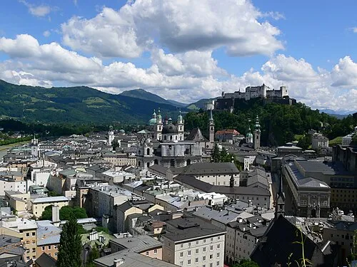 Salzburg City, Salzburg157.2K
-
Hallein Municipality, Hallein District21.2K
-
Saalfelden am Steinernen Meer Municipality, Zell am See District16.6K
-
Wals-Siezenheim Municipality, Politischer Bezirk Salzburg-Umgebung13.1K
-
St. Johann im Pongau Municipality, St. Johann im Pongau District10.9K
-
Seekirchen am Wallersee Municipality, Politischer Bezirk Salzburg-Umgebung10.6K
Nature and heritage in State of Salzburg
Other regions in Austria
-
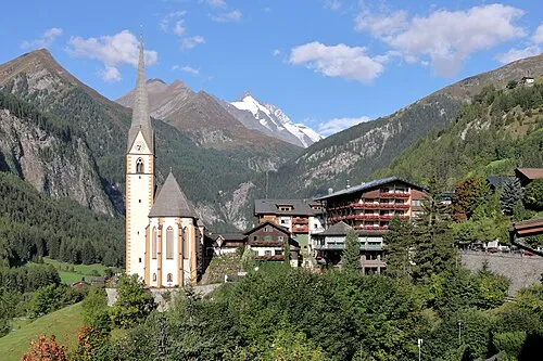 Carinthia Region, Austria86 km SE
-
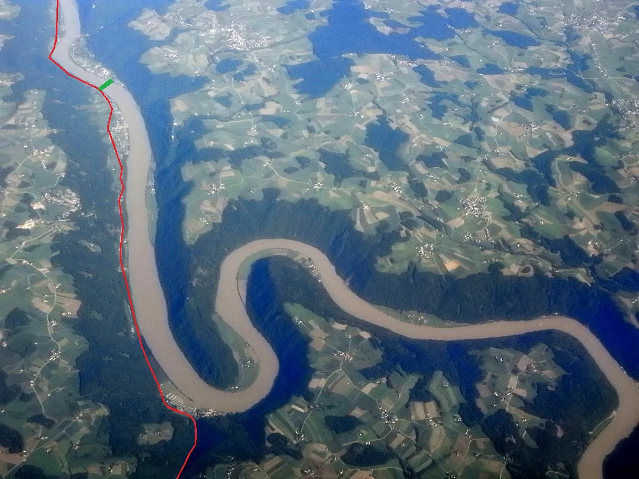 Upper Austria Region, Austria108 km NE
-
St. Johann im Pongau District District, State of Salzburg14 km S
-
Hallein District District, State of Salzburg21 km N
-
 Salzburg Stadt District, State of Salzburg45 km N
-
Zell am See District District, State of Salzburg44 km W
Sources & licences
Data last updated: · 2 independent sources