- Population
- 5,111,691
- 5.1M
- Elevation
- 29 m
- above sea level
- Local time
- UTC+09:00
- Asia/Tokyo · UTC+09:00
- Places inside
- 152
- listed under Hokkaido
- Airports
- OKD Sapporo Okadama Airport7 km
- CTS New Chitose Airport43 km
About Hokkaido
Hokkaido is a region. Location: Japan. Population: 5,111,691.
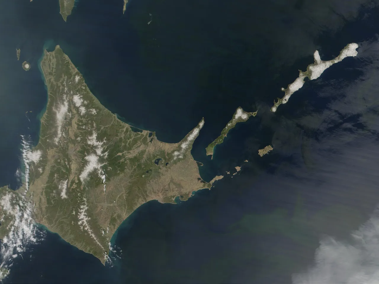
Hokkaido is the second-largest and northernmost of Japan's four main islands. Together with its surrounding islands, it comprises the largest and northernmost prefecture, making up its own region. The Tsugaru Strait separates Hokkaido from Honshu. The two islands are connected by railway via the Seikan Tunnel. The largest city on Hokkaido is its capital, Sapporo, which is also its only ordinance-designated city. Sakhalin, Russia, lies about 43 kilometres (27 mi) to the north of Hokkaido.
Source: Wikipedia · CC BY-SA 4.0
Places bordering Hokkaido
Twin towns and sister cities of Hokkaido
- Massachusetts· United States
- Chiang Mai· Thailand
Source: Wikidata. Only places with a page on this site are shown.
Population of Hokkaido over time
| 2005 | 5,627,737 | |
|---|---|---|
| 2010 | 5,506,419 | |
| 2014 | 5,432,200 |
Censuses and official estimates; source: Wikidata.
Climate of Hokkaido
Best months for sightseeingBest months for sightseeing: June–September.
This month · November
A wet month
Day 8° · Night 0° · Rain 119 mm
- Hottest month
- August (day 26°)
- Coldest month
- January (night -9°)
- Wettest month
- August (153 mm)
- Driest month
- March (68 mm)
Bars: average monthly low and high temperature. Below: precipitation. Monthly averages for 1970–2000 at about 18 km resolution, adjusted for elevation. Highlighted months are mild and relatively dry. Source: WorldClim 2.1 (CC BY 4.0).
Show values as a table
| Month | Jan | Feb | Mar | Apr | May | Jun | Jul | Aug | Sep | Oct | Nov | Dec |
|---|---|---|---|---|---|---|---|---|---|---|---|---|
| Average high (°C) | -2° | -1° | 3° | 11° | 17° | 20° | 24° | 26° | 22° | 16° | 8° | 2° |
| Average low (°C) | -9° | -9° | -5° | 2° | 7° | 12° | 16° | 18° | 13° | 6° | 0° | -6° |
| Precipitation (mm) | 102 | 78 | 68 | 68 | 72 | 73 | 105 | 153 | 140 | 118 | 119 | 113 |
Other places to visit in this season: June July August September
How to get to Hokkaido
The nearest airport is Sapporo Okadama Airport (OKD), 7 km to the northeast as the crow flies. For international flights: New Chitose Airport (CTS) (43 km). The nearest large city is Sapporo, 1 km to the northeast.
Airports
- Sapporo Okadama Airport (OKD) Sapporo 7 kmnortheast
- New Chitose Airport (CTS) Sapporo 43 kmsoutheast
- Asahikawa Airport (AKJ) Higashikagura 112 kmnortheast
Nearby large cities
- Sapporo Population: 2M 1 kmnortheast
- Ebetsu Population: 134K 17 kmeast
- Otaru Population: 115.3K 31 kmnorthwest
- Tomakomai Population: 174.8K 52 kmsoutheast
- Asahikawa Population: 333.5K 114 kmnortheast
Straight-line distances; road distances are longer. Airport data: OurAirports.
Places in Hokkaido
152 placesCountries & regions32
- Akkeshi-gun · District
- Ashoro-gun · District
- Esashi Gun · District
- Furubira-gun · District
- Furuu-gun · District
- Hiroo-gun · District
- Hiyama-gun · District
- Ishikari-gun · District
- Isoya-gun · District
- Iwanai-gun · District
- Kabato-gun · District
- Kameda-gun · District
- Kamiiso-gun · District
- Kamikawa-gun (Ishikari) · District
- Kamikawa-gun (Teshio no kuni) · District
- Kamikawa-gun (Tokachi) · District
- Kasai-gun · District
- Katō-gun · District
- Kawakami-gun · District
- Kayabe-gun · District
- Kudō-gun · District
- Kushiro-gun · District
- Matsumae-gun · District
- Menashi-gun · District
- Monbetsu Gun · District
- Nakagawa-gun · District
- Nakagawa Gun · District
- Nishi-gun · District
- Notsuke-gun · District
- Okushiri-gun · District
- Rishiri Gun · District
- Setana-gun · District
Mountains & nature9
- Daisetsu-zan · Mountain
- Hidaka Sanmyaku · Mountain
- Ishikari Bay · Natural site
- Kitami Sanchi · Mountain
- Komaga-dake · Mountain
- Mount Maru · Mountain
- Mount Omusha · Mountain
- Nemuro Hantō · Natural site
- Nemuro-wan · Natural site
Lakes, rivers & coasts18
- Amanogawa River · River
- Daikoku Island · Island
- Ishikari River · River
- Kamuiwakka River · River
- Kenbokke Tō · Island
- Koetoi River · River
- Kojima Island · Island
- Kusiro River · River
- Kussharo Ko · Lake
- Kuttara-ko · Lake
- Lake Abashiri · Lake
- Lake Mashū · Lake
- Lake Notoro · Lake
- Lake Saroma · Lake
- Lake Tōfutsu · Lake
- Mitsuishi River · River
- Mu River · River
- Setsuri Gawa · River
Heritage & sights1
- Hakodate Arena · Landmark
Largest cities and towns
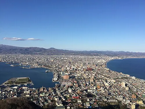
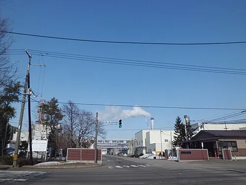
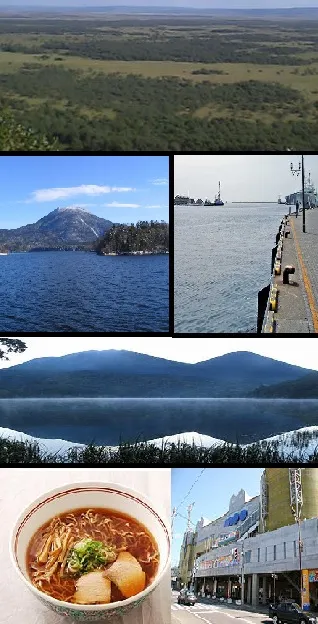
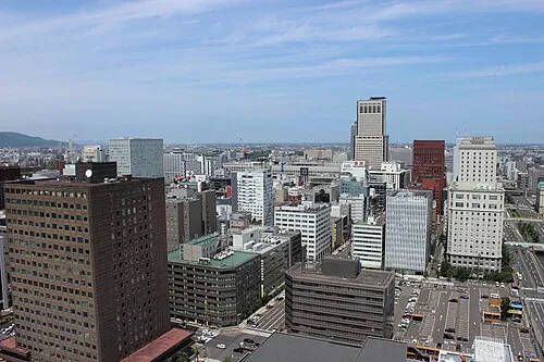
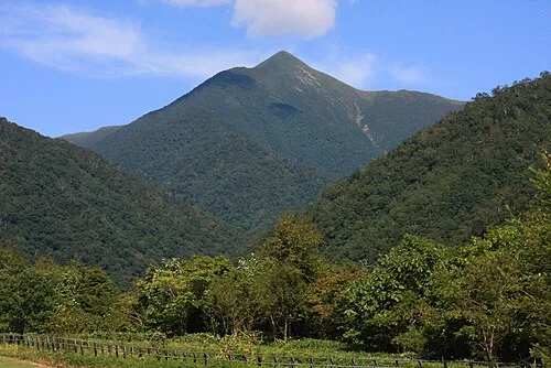
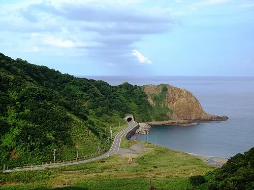
Nature and heritage in Hokkaido
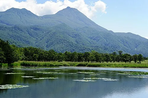
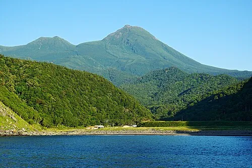
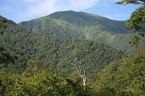
Sources & licences
Data last updated: · 2 independent sources